

nostalgic
Active Member
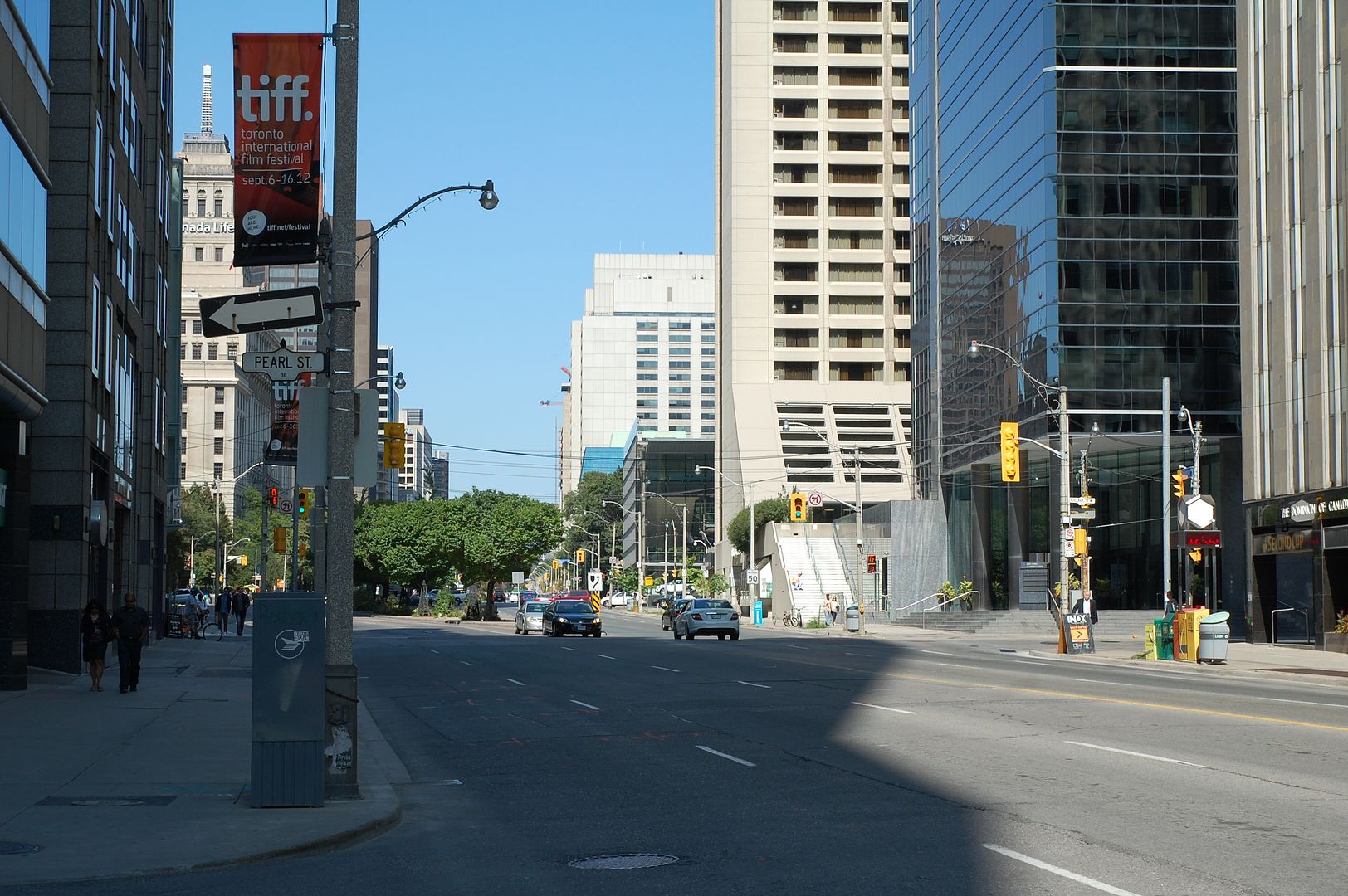
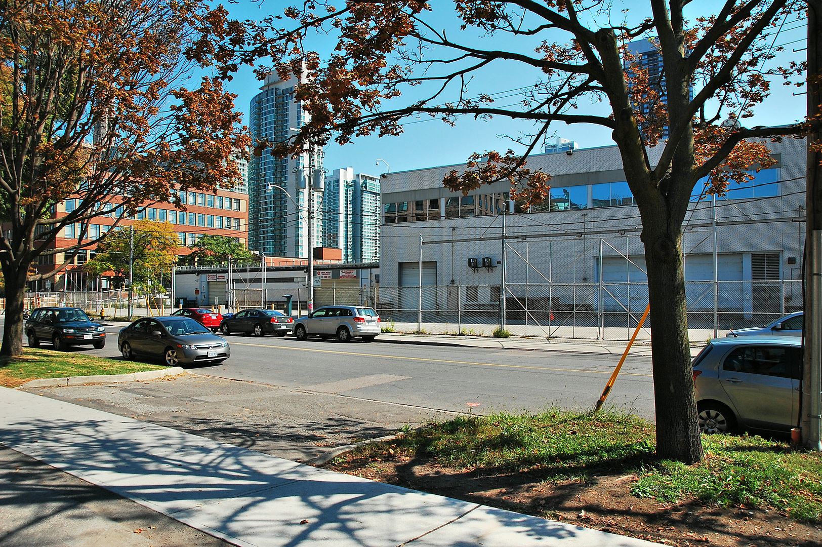
Wow, from country to densely populated, with six lanes on Don Mills Rd... in 15 years.
|
|
|
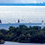
For Goldie, and other fans of aerial photos:
Aerial Photographs of Valley Lands (Toronto)
Downloadable in jpeg format. The overlays work better in Google Earth.


that has gots to be the most unfriendly interface i have ever experiencedFor Goldie, and other fans of aerial photos:
Aerial Photographs of Valley Lands (Toronto)
Downloadable in jpeg format. The overlays work better in Google Earth.
")
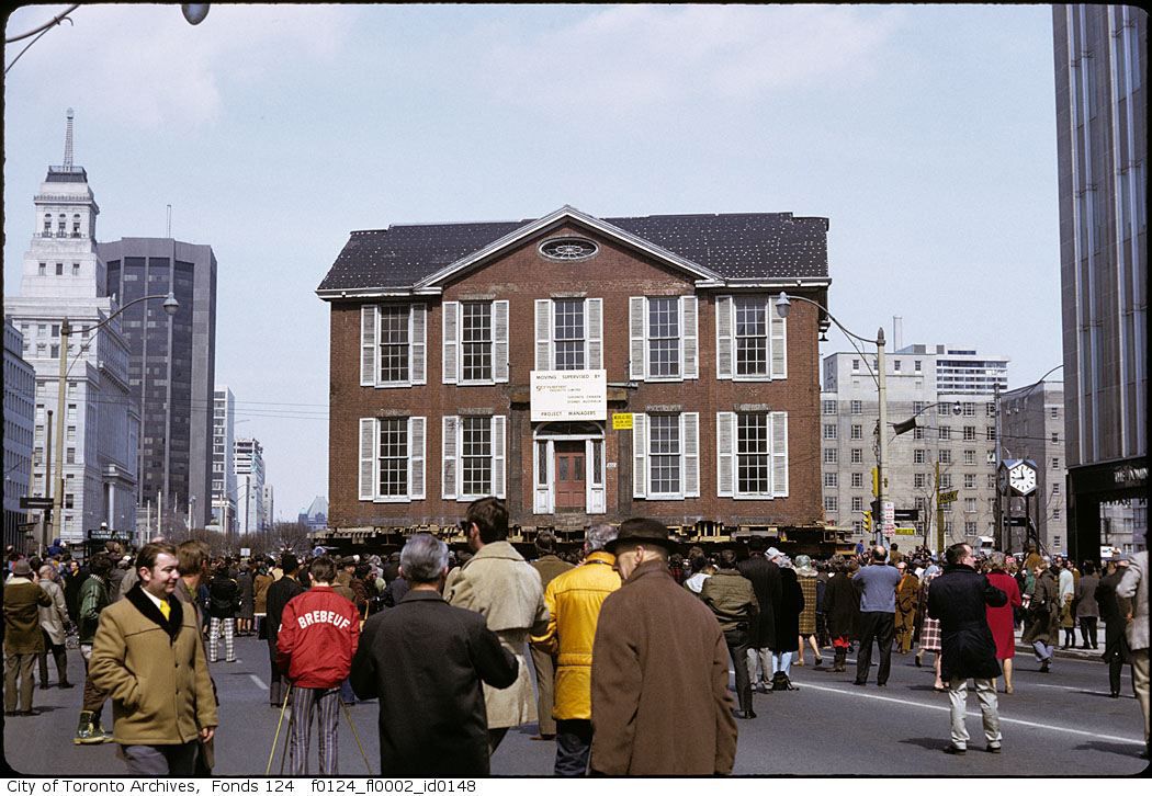
Given that 1972 was also the year that Olympia and York announced the construction of First Canadian Place and the demolition of the Toronto Star Building, the Globe and Mail Building and the old Bank of Montreal, the moving of Campbell House was seen as a progressive gesture for heritage. However, what was lost was its historical context in the old Town of York at the head of Frederick Street (which once had a view of the lake), and the impact that its restoration in situ could have had in the neighbourhood. I've also always felt that its current location was all wrong in terms of its immediate context, particularly the scale of the surrounding buildings and University Avenue. In the end, I'm glad the house was saved, but it is our own urban version of Pioneer Village.
Given that 1972 was also the year that Olympia and York announced the construction of First Canadian Place and the demolition of the Toronto Star Building, the Globe and Mail Building and the old Bank of Montreal, the moving of Campbell House was seen as a progressive gesture for heritage. However, what was lost was its historical context in the old Town of York at the head of Frederick Street (which once had a view of the lake), and the impact that its restoration in situ could have had in the neighbourhood. I've also always felt that its current location was all wrong in terms of its immediate context, particularly the scale of the surrounding buildings and University Avenue. In the end, I'm glad the house was saved, but it is our own urban version of Pioneer Village.
View attachment 12162
Given that 1972 was also the year that Olympia and York announced the construction of First Canadian Place and the demolition of the Toronto Star Building, the Globe and Mail Building and the old Bank of Montreal, the moving of Campbell House was seen as a progressive gesture for heritage. However, what was lost was its historical context in the old Town of York at the head of Frederick Street (which once had a view of the lake), and the impact that its restoration in situ could have had in the neighbourhood. I've also always felt that its current location was all wrong in terms of its immediate context, particularly the scale of the surrounding buildings and University Avenue. In the end, I'm glad the house was saved, but it is our own urban version of Pioneer Village.
View attachment 12161
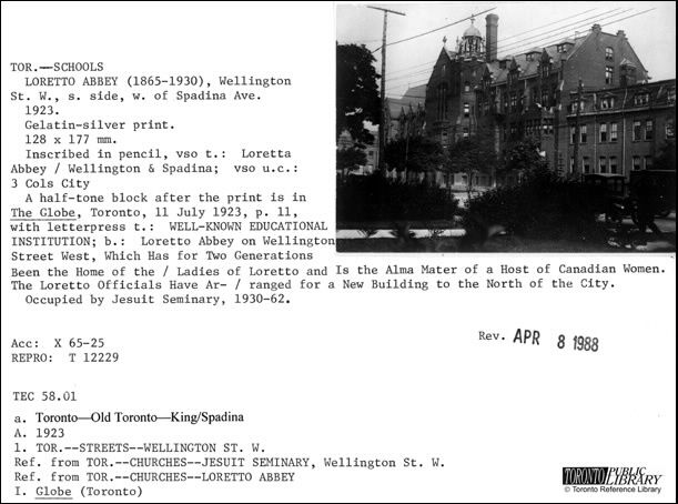
July 10, 1923. I'm thinking this image is reversed; note the number bottom right...

That is a great story! One thing about IBM/Celestica. I do not understand why no entrance was ever made right across from Wynford Dr. Right now you get cars almost flying out of the north entrance and crossing three lanes of traffic to make the left turn onto Wynford. I know Wynford did not always have a DVP on ramp, but it does now and it would make more sense to use the lights for an entrance and close up the one to the north.Thanks nostalgic and Anna for all that useful info.
I now have a better 'lay-of-the-land' and recall my early days at that very farmhouse.
As a youth, my friends and I often went for hikes up Don Mills Rd. from our homes on Donlands Ave.
That would be during the late 1940s.
I recall that we once stopped at a water pump outside that farmhouse to fill our canteens.
That farm was still there when IBM built across the road in 1951/54.

The same farmhouse facing IBM when it built the northern portion of the plant in 1951. --------- I think I can see the water pump!

And the same area in 1966 - looking across Wynford toward the RR bridge over Don Mills Rd.


