KevinT
Active Member
Thanks Tim. It's funny, Kitchener-Waterloo has been spending big money re-naturalizing several 50's-era creek channelizations, and here this poor creek got it's own brand new little straightjacket. :-(
That's not new.Thanks Tim. It's funny, Kitchener-Waterloo has been spending big money re-naturalizing several 50's-era creek channelizations, and here this poor creek got it's own brand new little straightjacket. :-(
Was in Walmart today and what a few days between visit shows how much the store has change in that short time frame.Have you been in Walmart lately as you will not recognize it with all the remodeling taking place now those long ramps have been removed?? Expect to see a larger grocery area in the coming months.
Foot traffic for the whole area is the pits for walking with the sea of parking lots.
Downtown 21 had some great ideas, but a failure at the end of the day creating more streets for car lovers.
The last 2 expansions have been a failure with a lot of useless space. In fact you can go back when they can the expansion after OMERS bought the mall who spent a year trying to figure what to do with that expansion by putting cars parking there
Like I have being saying for the last 2 decades, 60% of Mississauga needs to be strip to the ground and start allover again with a grid system and a lot of more n-s, e-w roads that continue from end to end.I never find streets a problem if they are on a grid and they aren't too wide. The problem with downtown 21 is that there isn't really a grid and you still have to circle around square one because of its size.
Well the easiest way to make a city within a city is just to remake square one into a grid.Was in Walmart today and what a few days between visit shows how much the store has change in that short time frame.
The lower checkout is on the opposite side of the entrance with more of everything for it. More food place around areas that have been renovated or in the process.
Will no see anymore changes until I get back at the end of Aug.
Like I have being saying for the last 2 decades, 60% of Mississauga needs to be strip to the ground and start allover again with a grid system and a lot of more n-s, e-w roads that continue from end to end.
Rebuild Sq One on only 20% of its current foot print with development above it
That area becomes a city within a city
Why not just put square one back to original size sans the department stores on the ends. Then you could have room to build a grid around it.I will start with the Mayor backyard by building the Queensway not over the Credit river like it should happen on day one, but connect it with the 403.
Need another east-west between the QEW and the Lakeshore to start off things.
Have to cut Sq One into 3rds to get n-s roads as grid roads
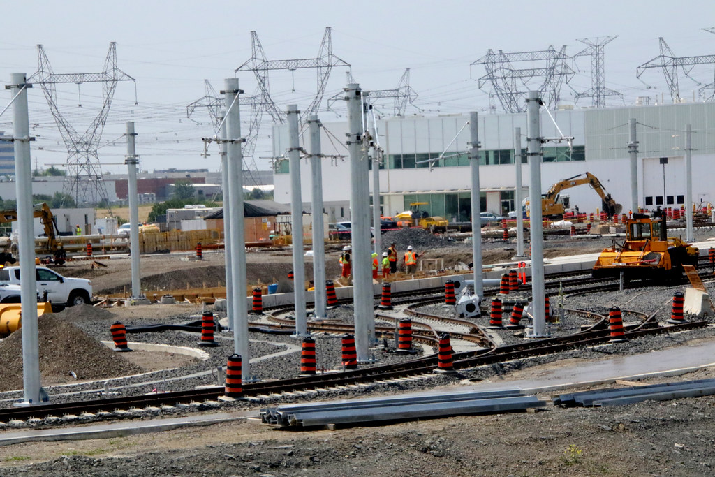
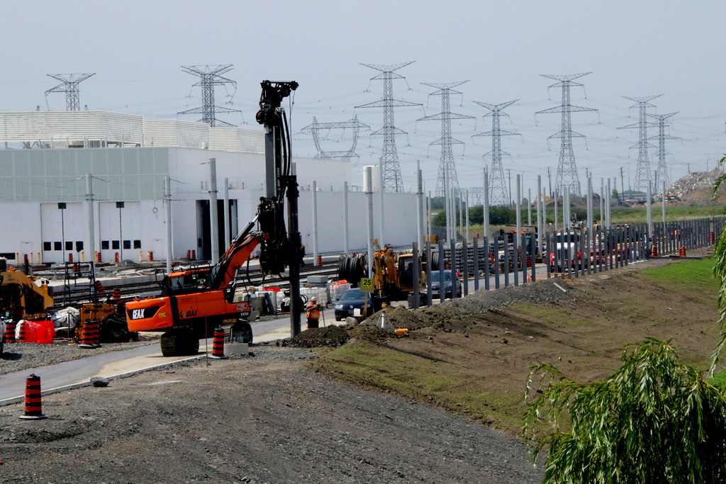

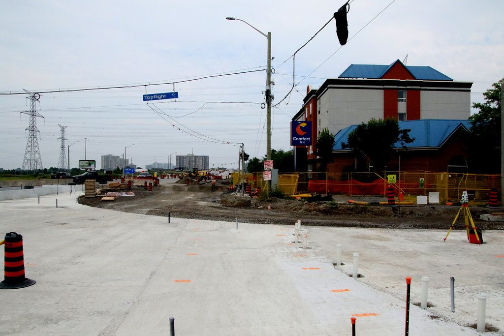


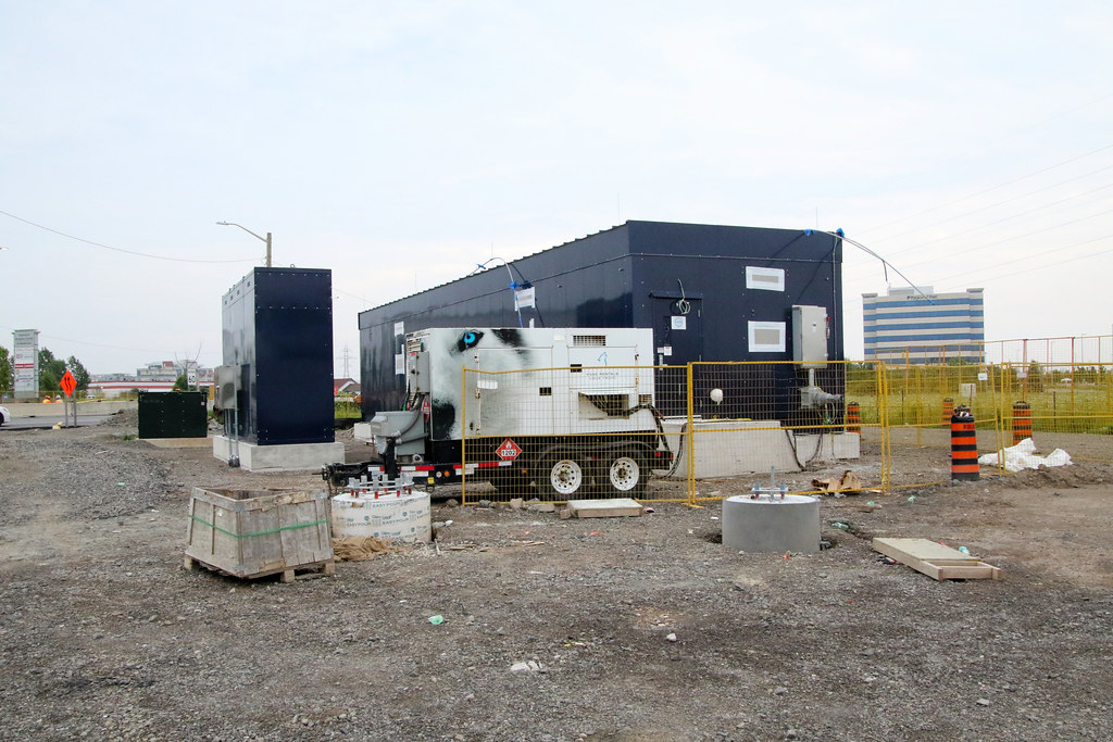
Thought I’d resurface this image of the road+train alignment at the QEW underpass to accompany the progress photos.Some photos from my 1,000th recorded career flight August 2nd
View attachment 498344
View attachment 498345
View attachment 498346
View attachment 498347
View attachment 498348
Can you show me how the train will go under the cooksville bridge?Thought I’d resurface this image of the road+train alignment at the QEW underpass to accompany the progress photos.
If you haven’t seen this before it’s difficult to understand what they’re constructing here, it’s one of the more unique interchange configurations I’ve seen in the GTA.View attachment 498458
This one actually has a couple renderings shown here on the metrolinx website. Attached as well.Can you show me how the train will go under the cooksville bridge?