


Hypnotoad
Senior Member
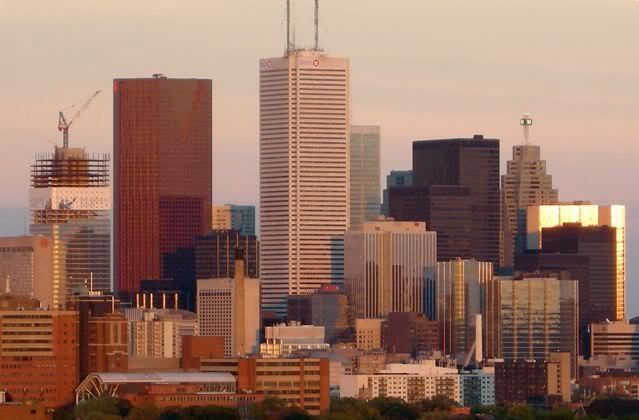
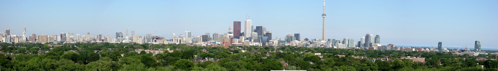
Except Rosedale...and Glencairn...and Bessarion...and Lawrence...and Dupont...and Royal York...and...
Fair enough, but I don't see those in this picture

|
|
|
Except Rosedale...and Glencairn...and Bessarion...and Lawrence...and Dupont...and Royal York...and...
Actually some of Toronto's densest neighbourhoods are nowhere near a subway line, like the entire east and west sides of downtown. Low rise and midrise don't necessarily mean low density. And lots of two storey house neighbourhoods have subways. If anything subway construction in the last 30 years hasn't followed density, it's avoided it.If this picture shows anything, it shows that Toronto is a subway-town, built in linear fashion with the tallest towers at subway stop. Where there are two-storey houses you have no subways.
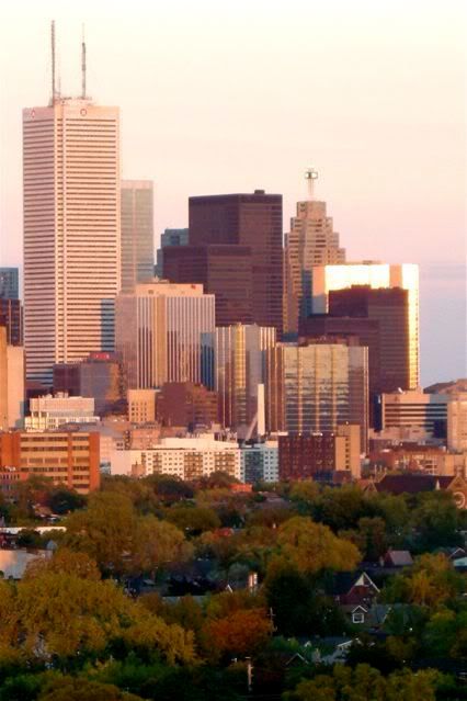
ROCP and Cityplace are nothing alike!This picture also shows that Toronto needs some more excitement to its development. So much of it is similar that the buildings are almost invisible. Look at ROCP1 and ROCP 2. They've been painted a beautiful sky blue, ala the Simpsons. You can hardly see them.
City Place is the same way - the almost blend into the clouds.
I love Toronto's skyline and it is only getting bigger and better, but c'mon, would a little variety be a bad thing? (I think we all know the answer to that)
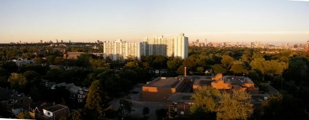
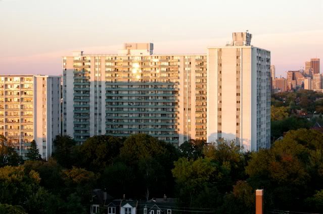
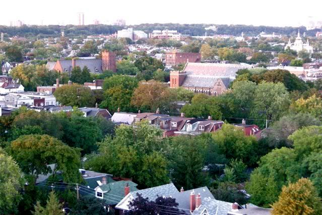
I don't see how a high view can be depressing in Toronto. The city looks like a giant forest from high up, especially in the summer.taken from the crossways tower i suppose? actually probably that highrise@dovercourt and bloor, or one of those dupont/landsdowne area slabs.
I've got that view too--except crossways is blocking the yonge/wellesley-yonge/college area. by day, toronto from my pov looks like a small grim town in the midwest, by night it looks better--but still reminds me of what former torontonians living in vancouver used to say: the higher up you live in toronto the higher chance you'll be depressed by what you see! Toronto has a view? lol. Very true....
If anything subway construction in the last 30 years hasn't followed density, it's avoided it.
Actually some of Toronto's densest neighbourhoods are nowhere near a subway line, like the entire east and west sides of downtown. Low rise and midrise don't necessarily mean low density. And lots of two storey house neighbourhoods have subways. If anything subway construction in the last 30 years hasn't followed density, it's avoided it.
ROCP and Cityplace are nothing alike!
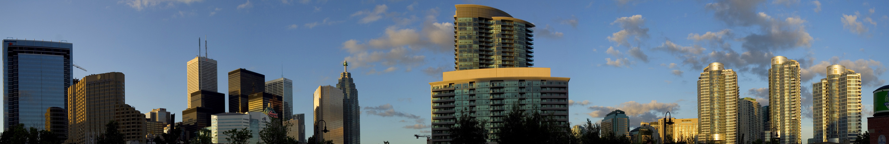


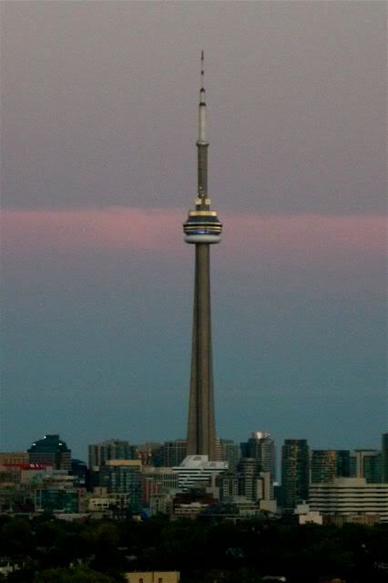
duelling panoramas - I love it, thanks guys! egotrippin, sort of funny how the much hated Infinity buildings become the center piece of your photo. I dont hate them as much as everyone else and they look quite good in this photo. I think the fact that they are sort of standing alone just now works against them....
I just downloaded autostitch and tried a couple panos with some older pics from back in April. I will have to use my tripod next time to keep everything on the same level...