@Tim MacDonald, lack of signs has been an issue since day one and still is not only by me, but the ward councilors. I have seen far too many close calls, well walking, on the bus as well when I have access to a car. Even for pedestrians to get around X, cross the street, but most of all, where are the bus stops? I have been asked numerous times as to where the bus stop is, only to point where it should be and say "what" as it's not there and don't see one at all.
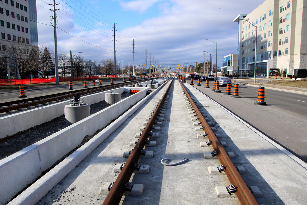
Tracks outside of intersections will be exposed and not encased in concrete other than anchoring the ties. There are to be a few spots that will be encased for future stations that may surface down the road.
They will look like this. Mobilinx is not willing to put grass there like they should. Finch LRT is 100% encased in concrete with Crosstown having 80% grass. It is to stop people trying to cross the street between Long blocks.