|
|
|


You are using an out of date browser. It may not display this or other websites correctly.
You should upgrade or use an alternative browser.
You should upgrade or use an alternative browser.
Post your pictures of Toronto here!
- Thread starter RC8
- Start date


Lone Primate
Active Member


Lone Primate
Active Member


Lone Primate
Active Member


Goldie
Senior Member

Lone Primate
Active Member
Boy oh boy! I like this one!
Where is it?
That's looking east along the 401 into Scarberia from the vicinity of Yonge and Sheppard.
") The bridges in the shot are, I believe, in receding order, Don Mills Road, the 404/DVP, and Victoria Park Avenue.
The bridges in the shot are, I believe, in receding order, Don Mills Road, the 404/DVP, and Victoria Park Avenue.
Last edited:
Gord
Banned
Beautiful shots.
A few things...What is that wildnerness shot with that tree home?
Where was that ravine shot taken with the wooden planks? Is that behind the Brick Works? Isn't there an off road biking set up around there?
The owners of CB2 should buy the Royal York and restore it. It needs a good bath.
A few things...What is that wildnerness shot with that tree home?
Where was that ravine shot taken with the wooden planks? Is that behind the Brick Works? Isn't there an off road biking set up around there?
The owners of CB2 should buy the Royal York and restore it. It needs a good bath.
Lone Primate
Active Member
Beautiful shots.
Thank you kindly.
What is that wildnerness shot with that tree home?
Don River, between Finch and Old Cummer. The tree home is actually a carving on someone's lawn in Orangeville.
Where was that ravine shot taken with the wooden planks?
Bruce's Mill Conservation Area on Stouffville Road, between Kennedy and Warden.
Lone Primate
Active Member
...Just for the sake of full disclosure, "Feck Off Irish Catering Service" isn't real either, just in case anyone decides to phone. It was kind of my revenge on the guy in the yellow (not green) blank panel van for driving in front of me while I was setting up my shot of the Richmond Hill war memorial. Photoshop's a ball, huh?
Everything else is as shot, with the caveat of obvious colour-tweaks here and there.
Everything else is as shot, with the caveat of obvious colour-tweaks here and there.
mattelderca
Active Member
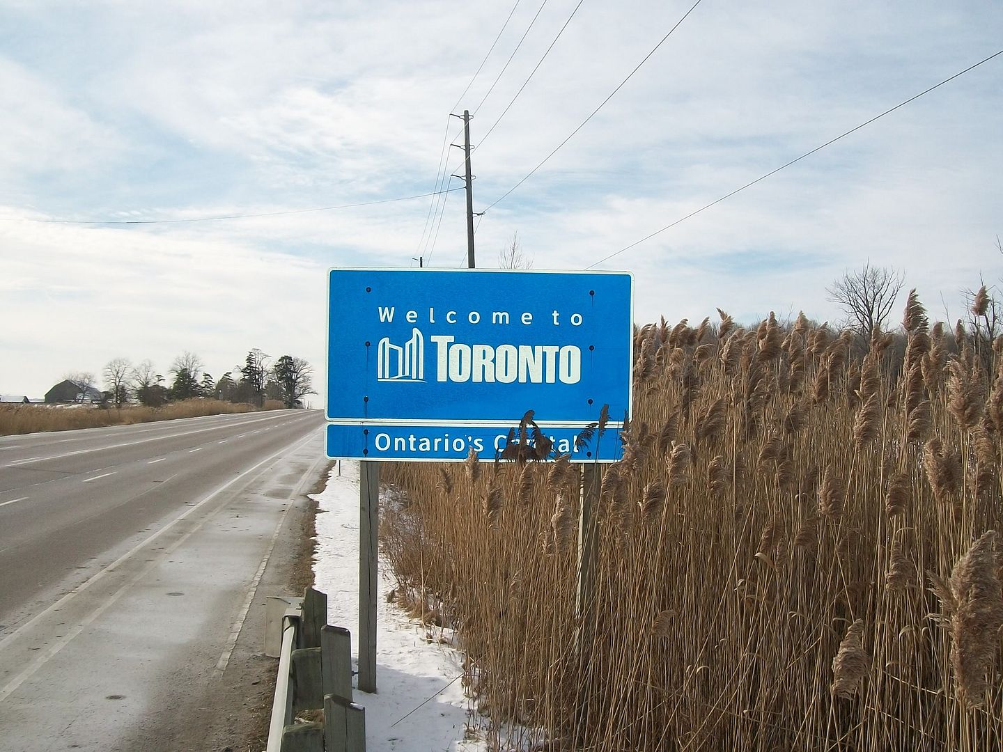
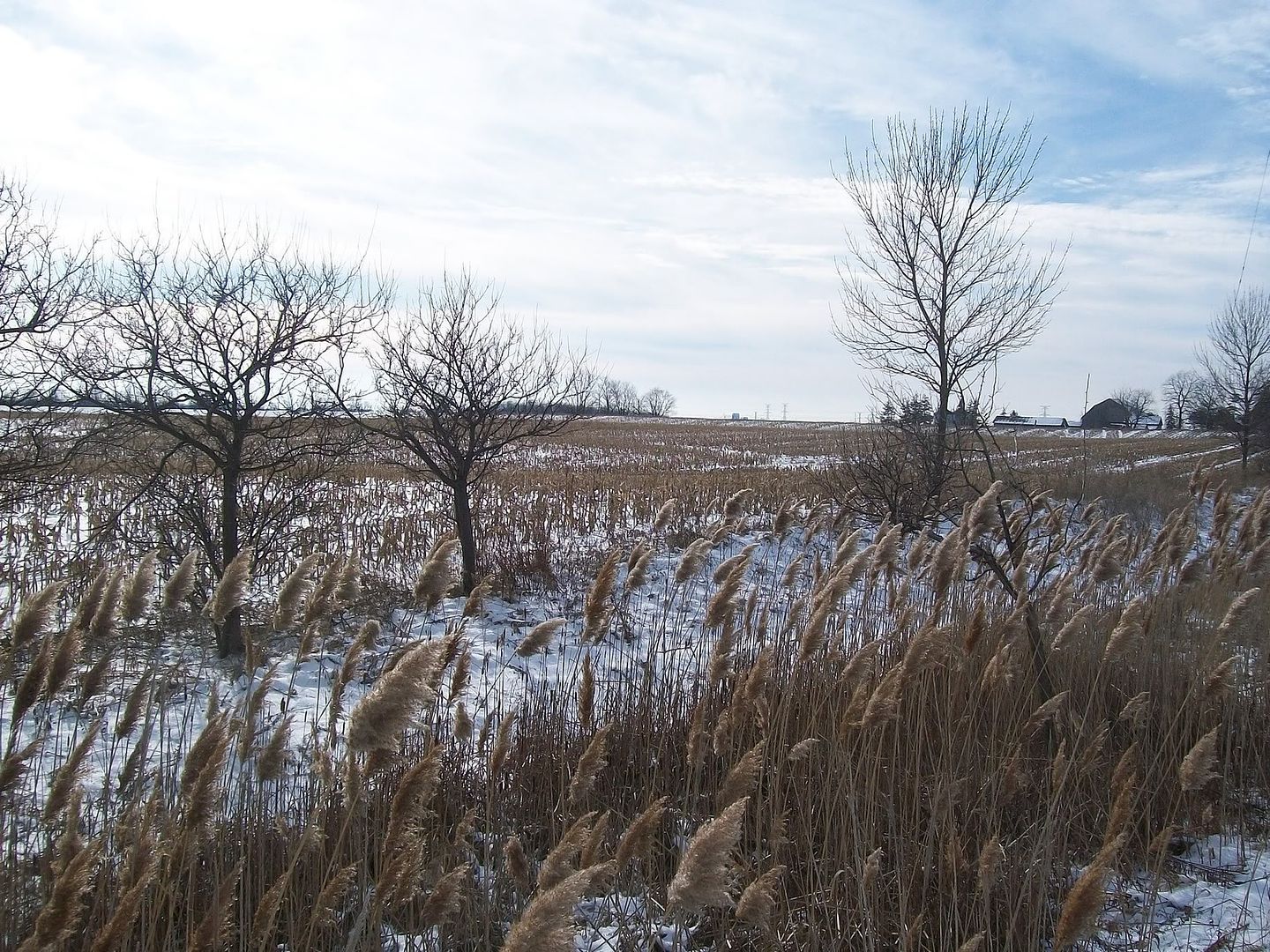
One corner
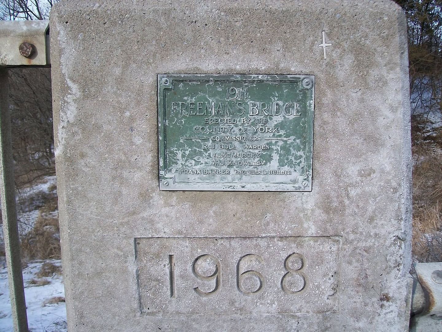
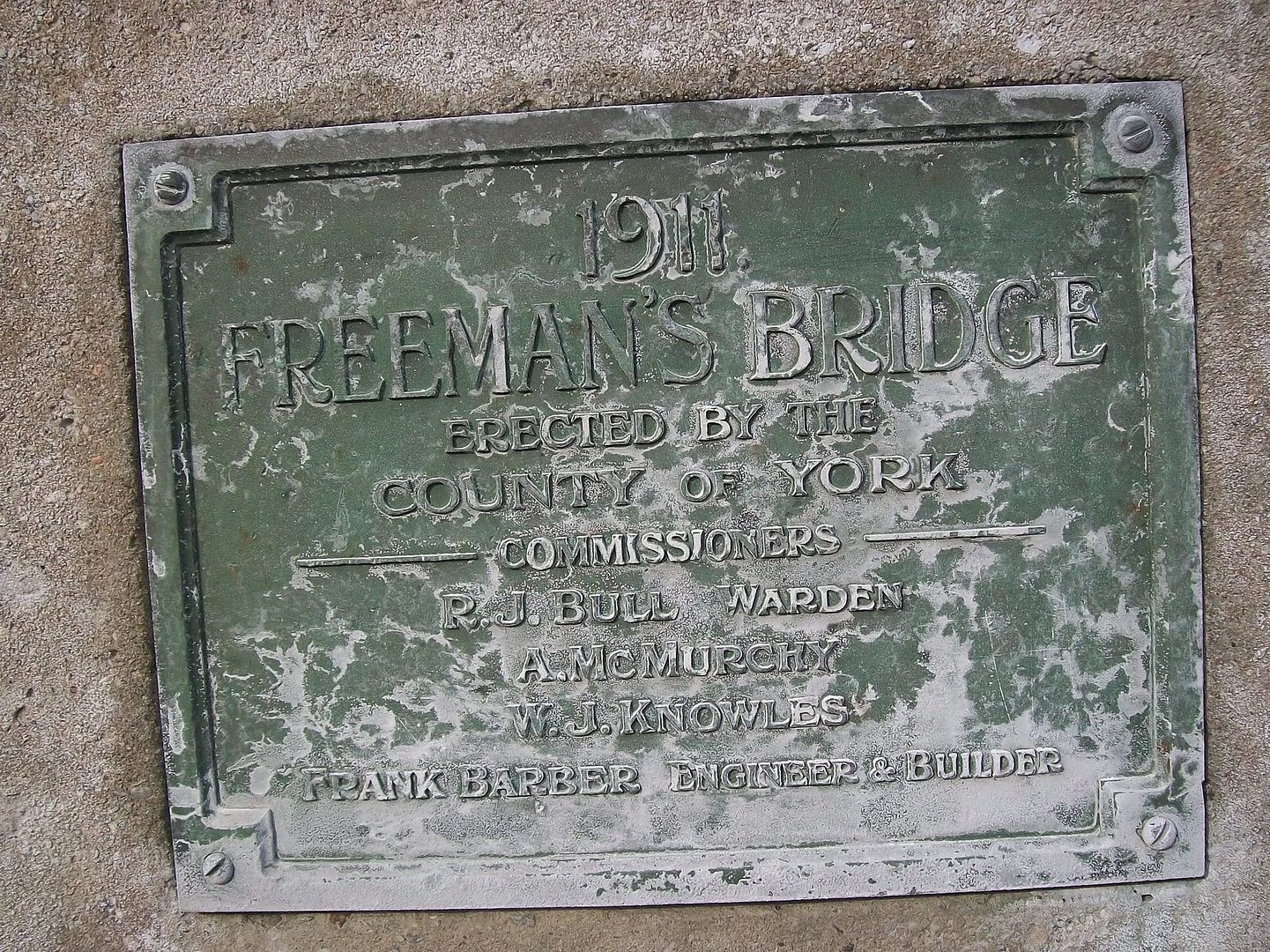
I travel into the north east end of the city everyday. Most of the time we blow past everything without a thought. I have always been interested in history and especially photographic history. Having found this site has renewed my interest in Toronto and it's origins. So when I noticed a small plaque on one of the bridges I cross, I thought I'd take a few pictures.
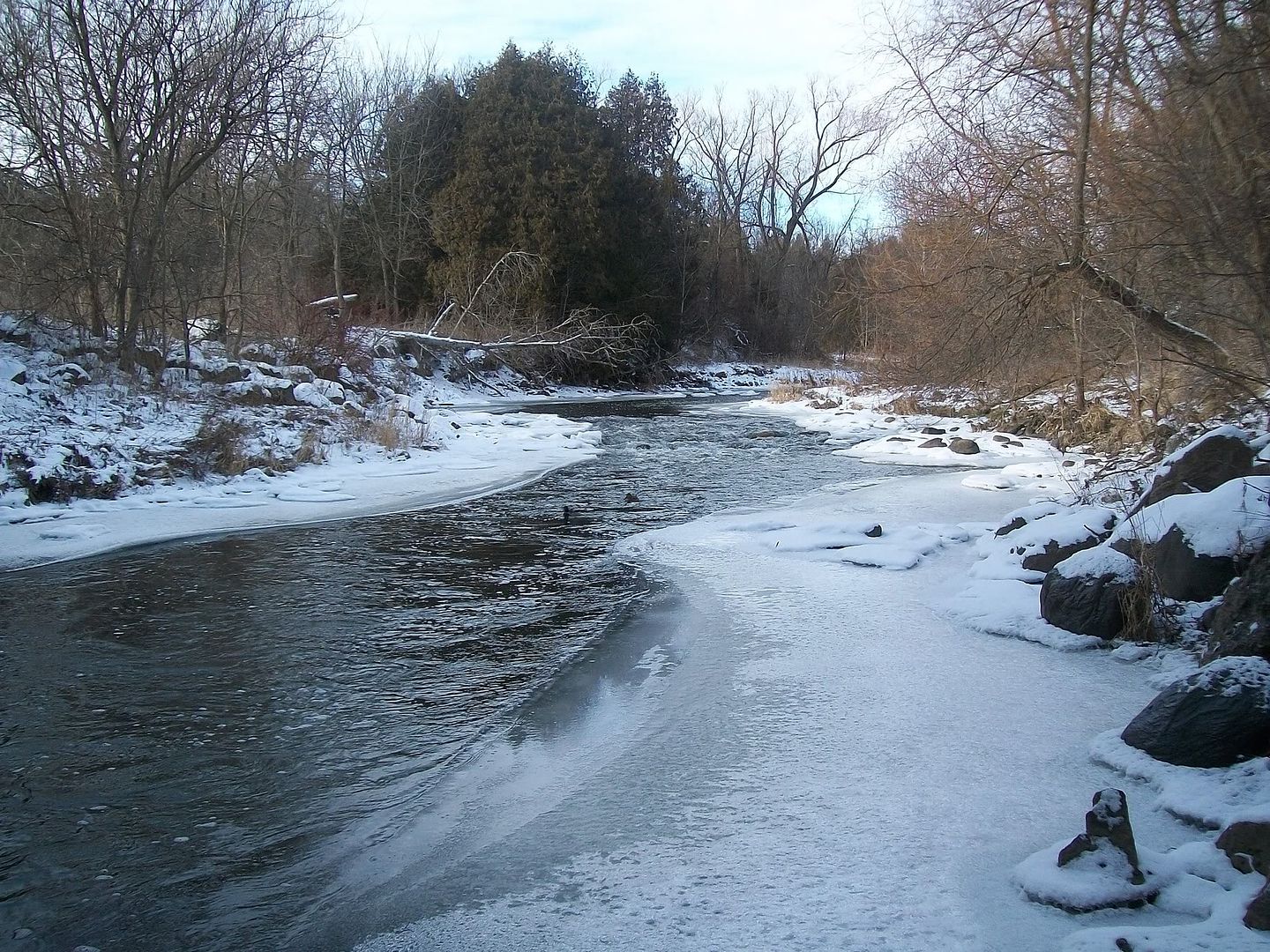
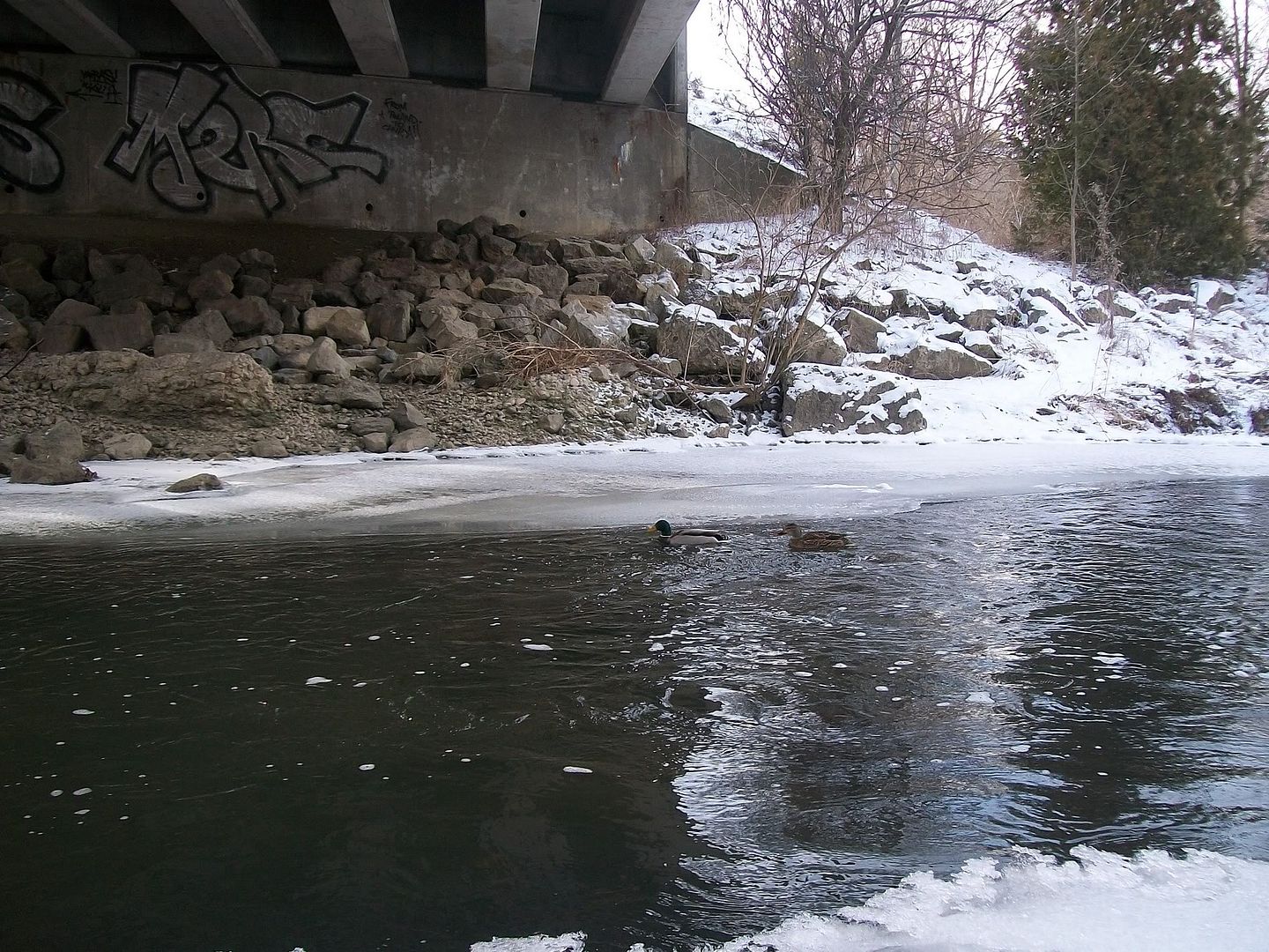
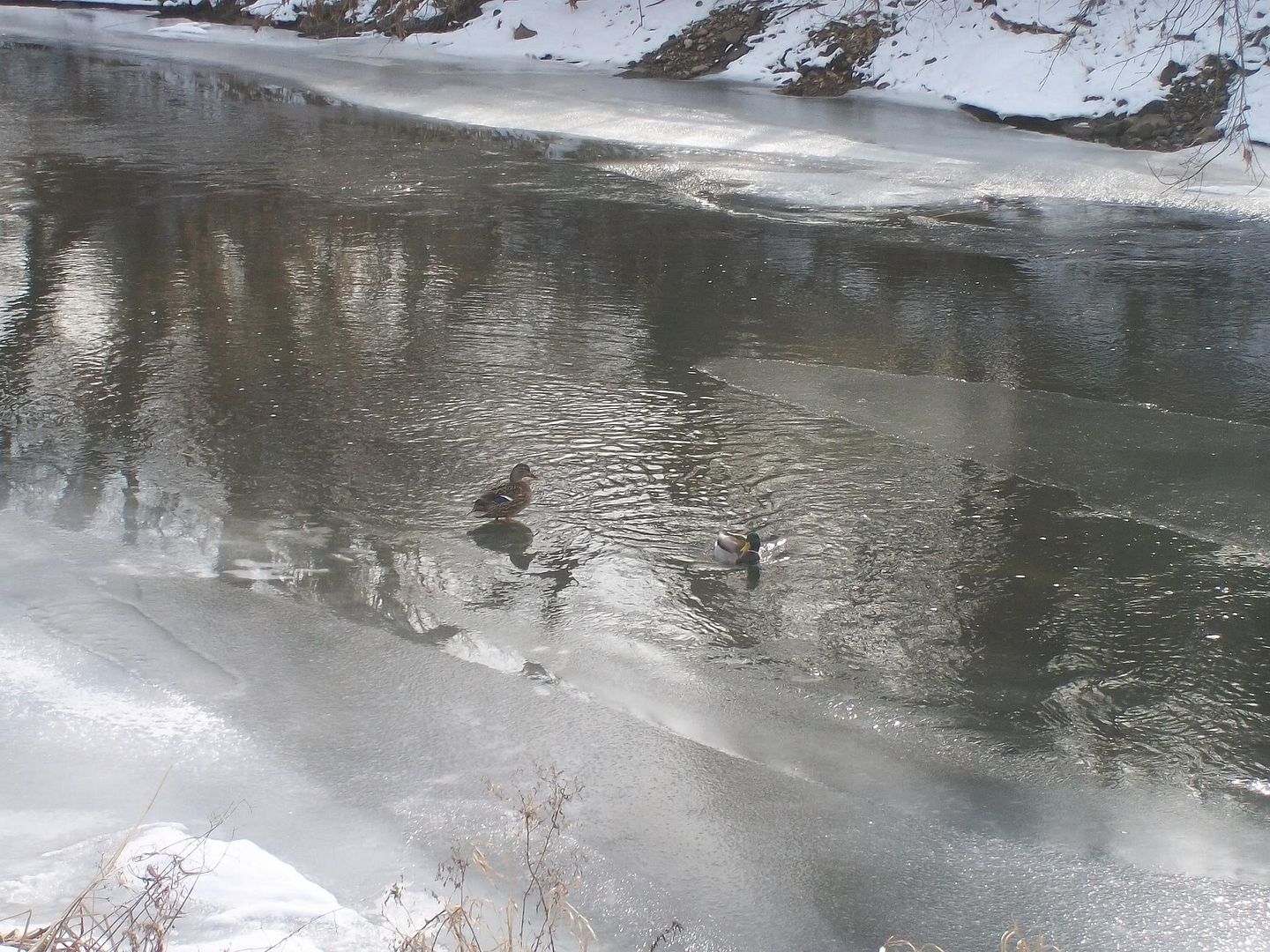
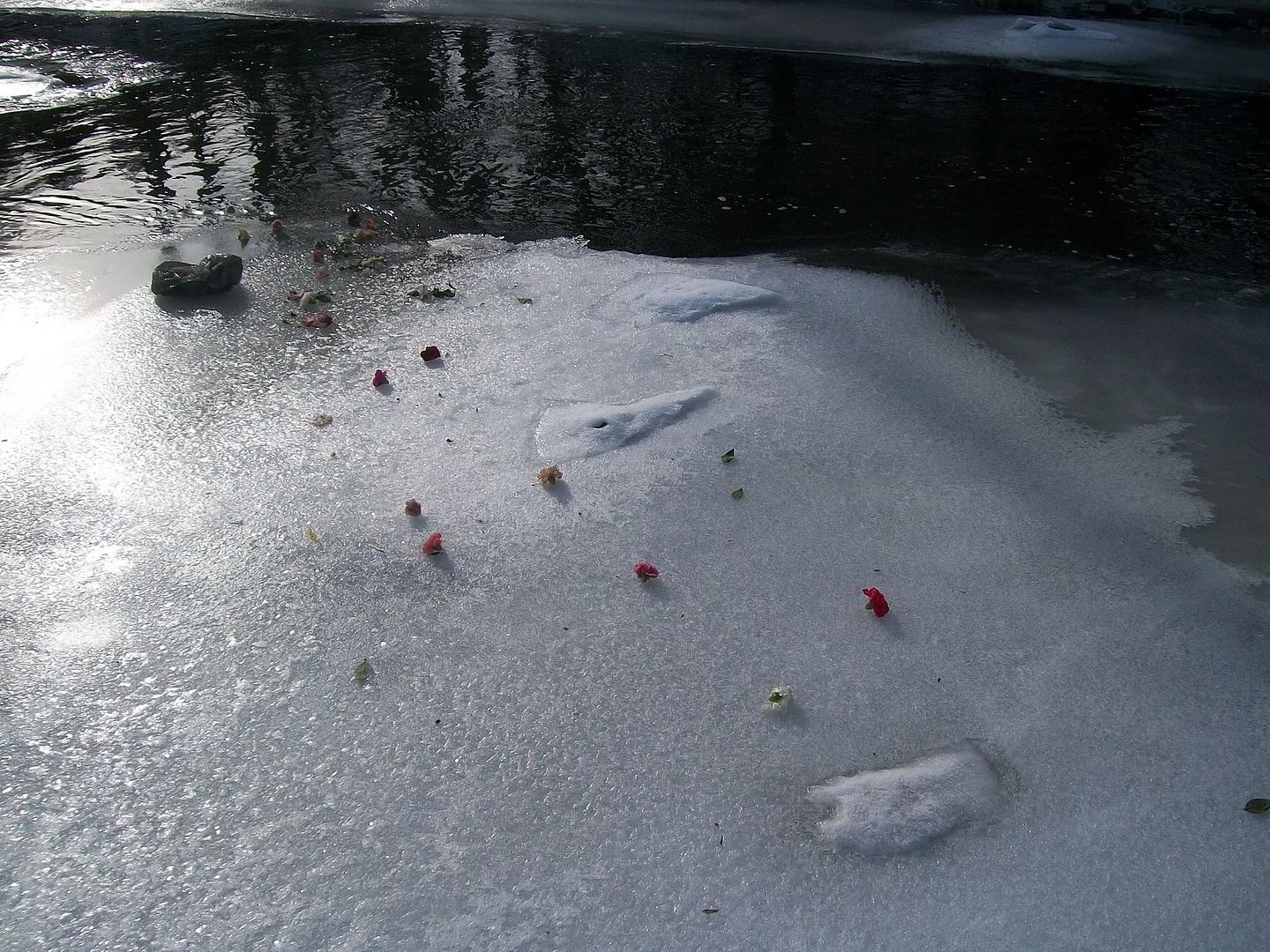
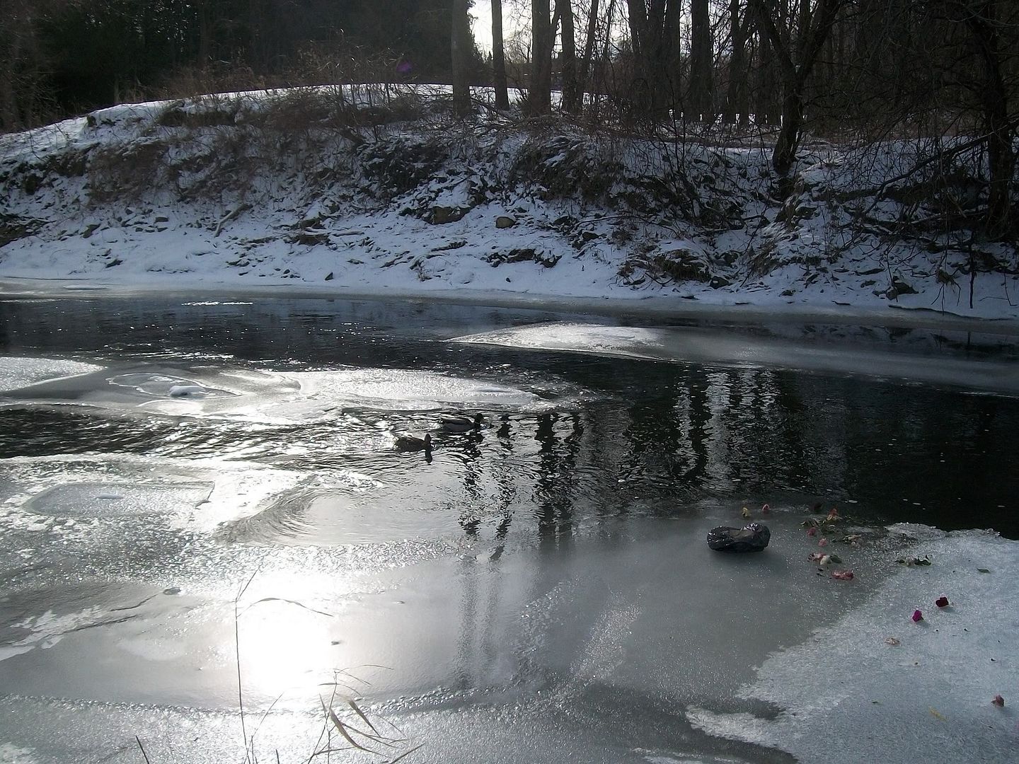
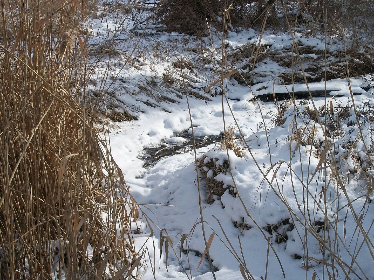
The first pic is what the plaque says is Freeman's bridge. This is the exact spot that the Rouge river enters the city. Under the bridge I found a pair of Mallards, cruising the flowing water and ice. You might need to zoom in to see them.
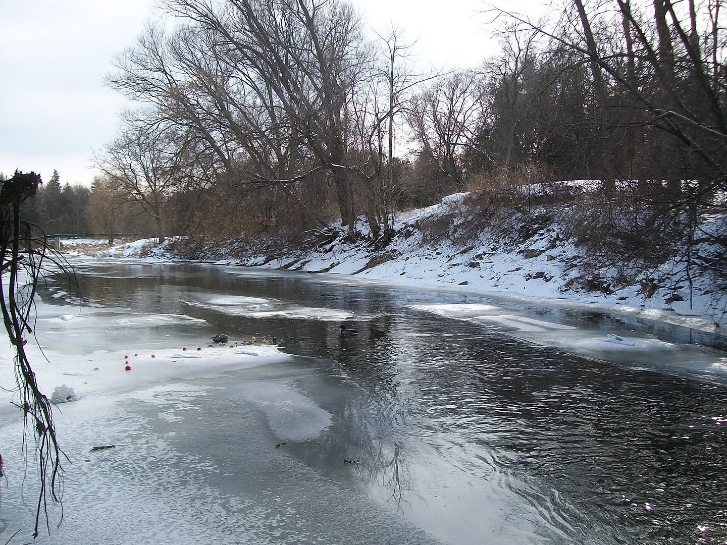
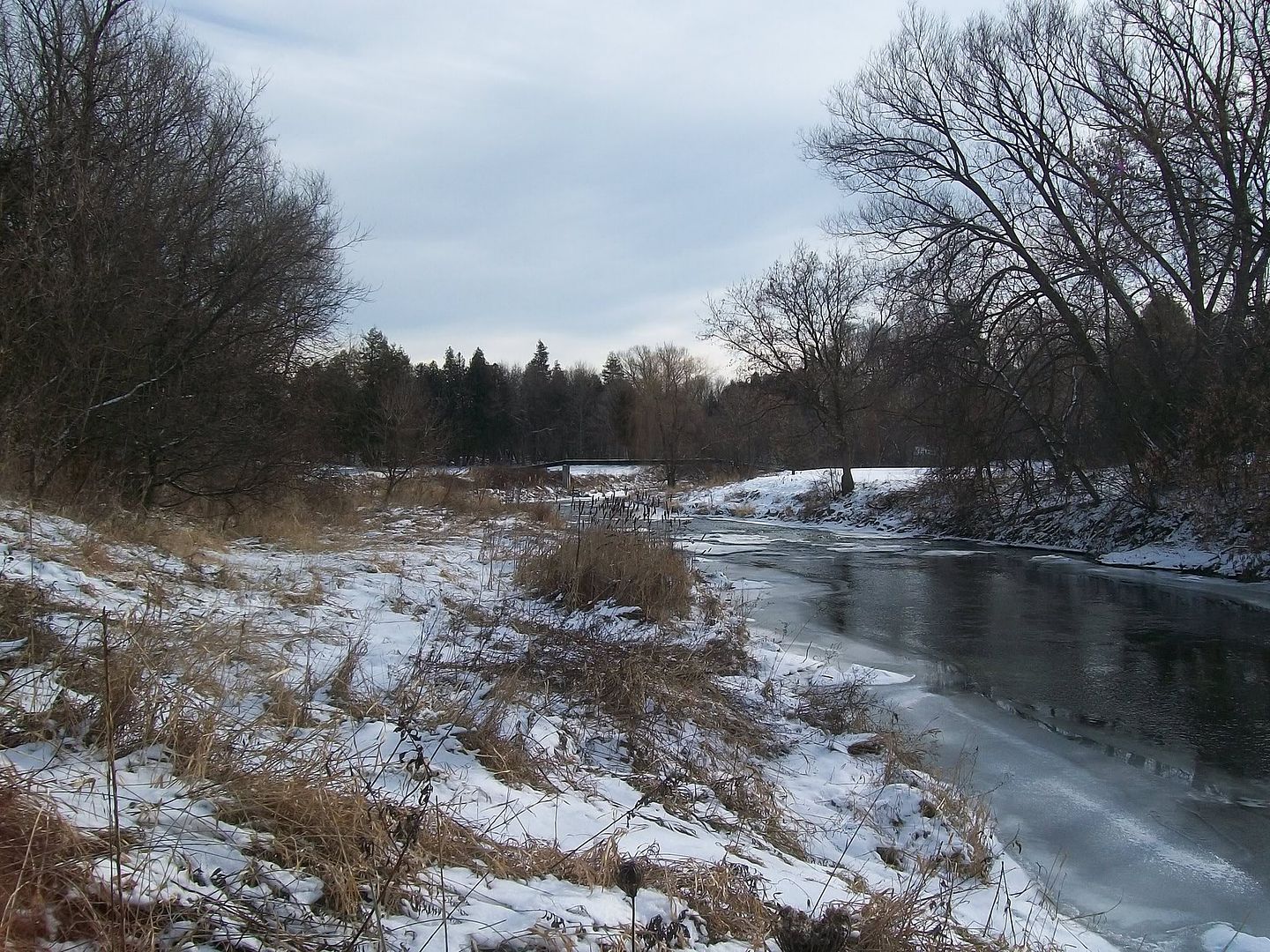
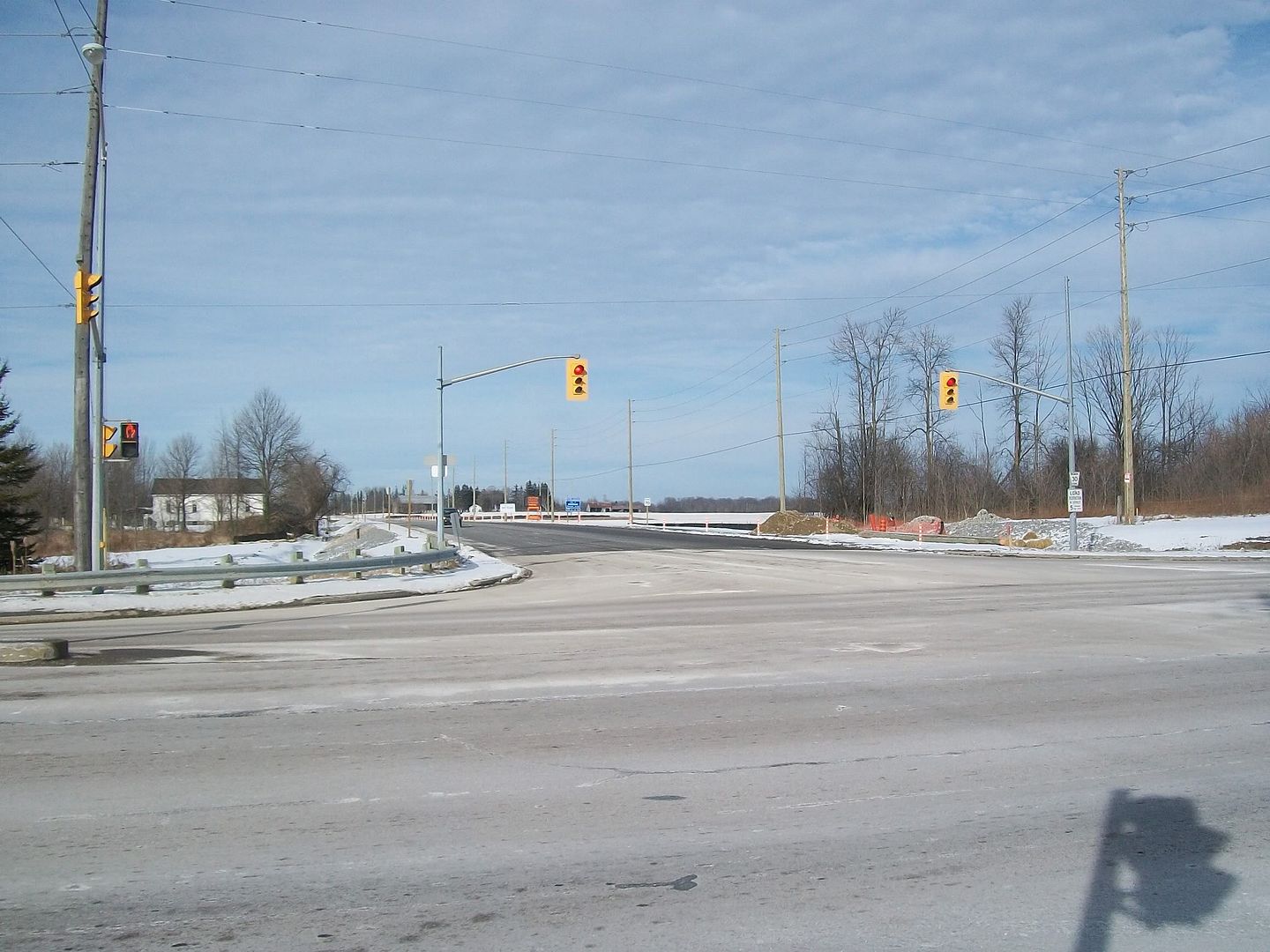
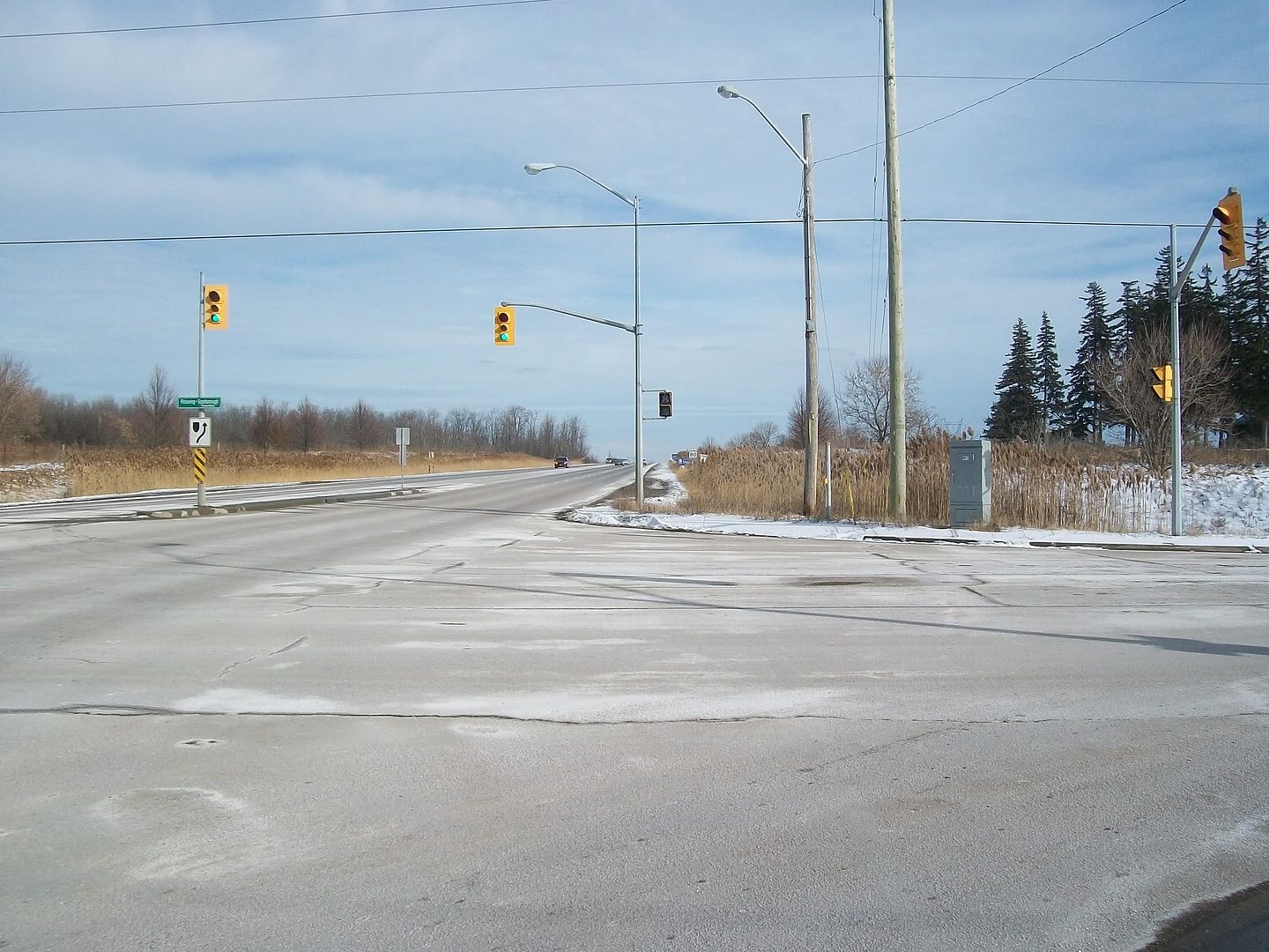
The next set is from the farthest NE corner of the city. Views showing north into Markham and York region, east into Pickering and Durham region, south along the Scarborough/Pickering townline, and west into Toronto along the Steeles Ave terminus.
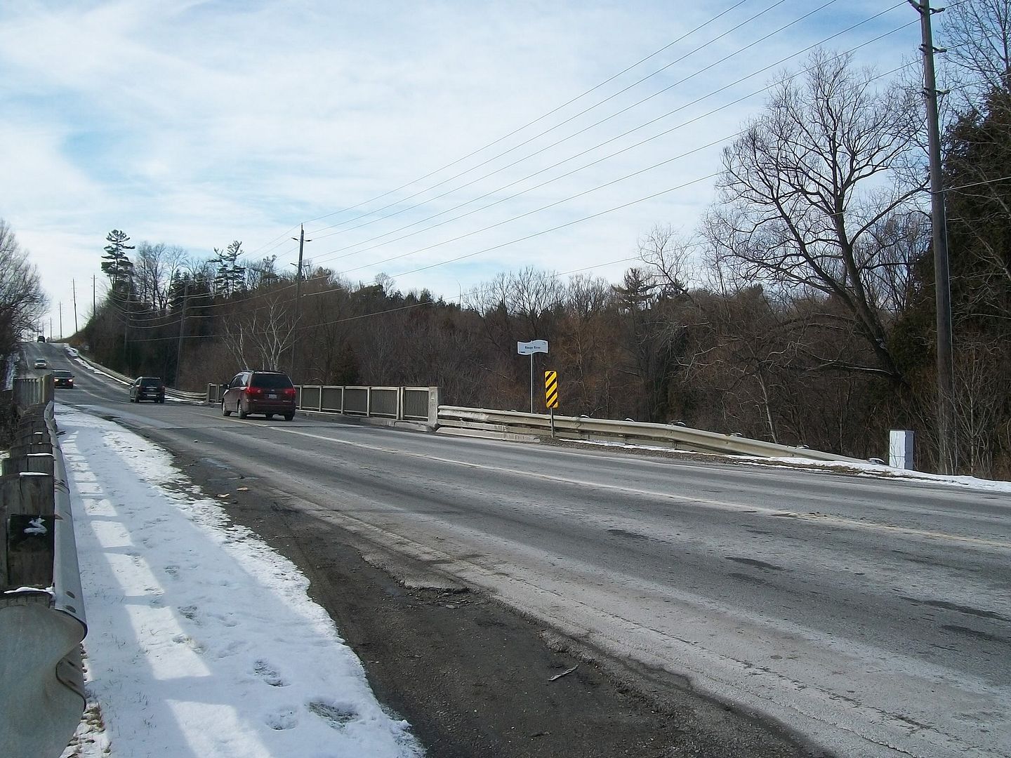
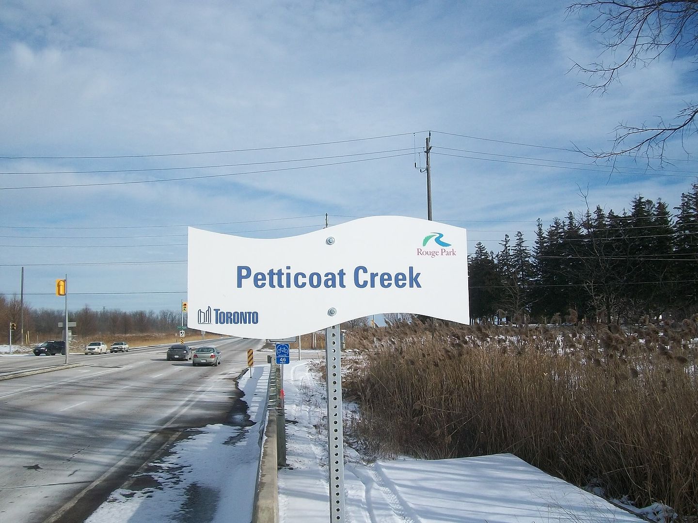
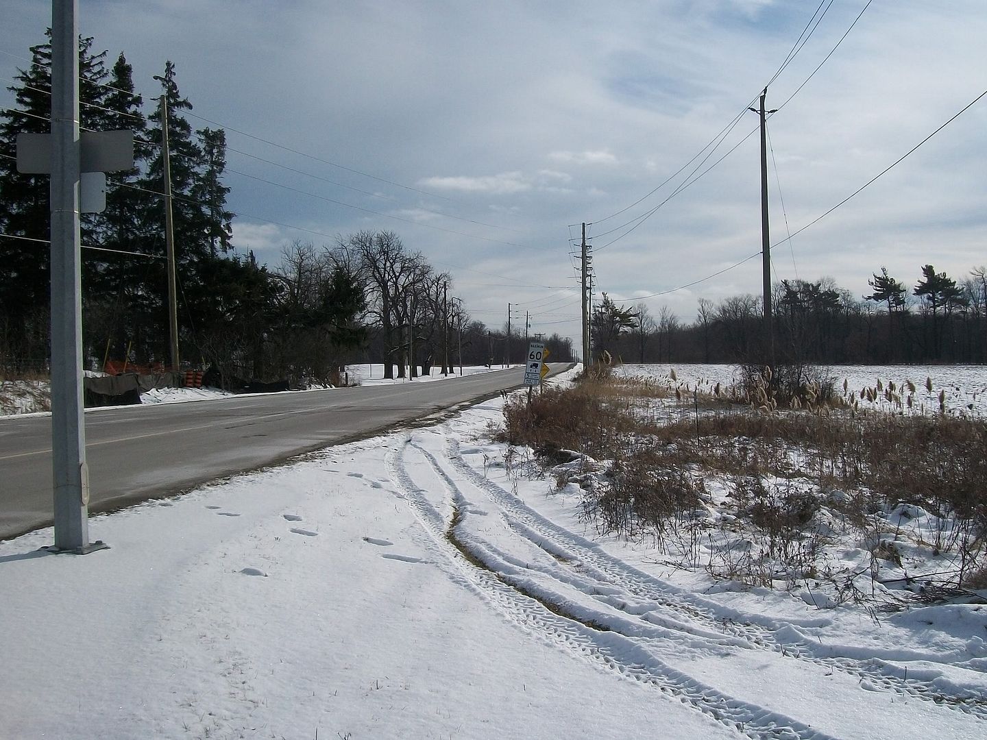
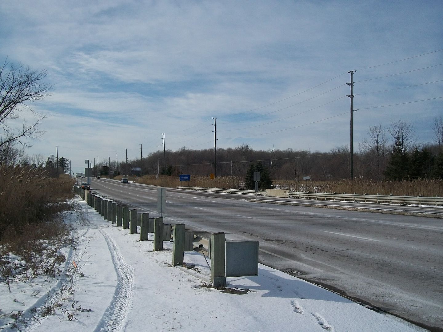
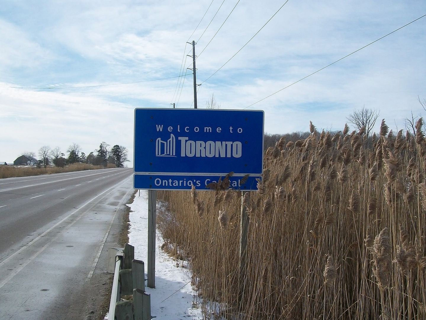
I travel into the north east end of the city everyday. Most of the time we blow past everything without a thought. I have always been interested in history and especially photographic history. Having found this site has renewed my interest in Toronto and it's origins. So when I noticed a small plaque on one of the bridges I cross, I thought I'd take a few pictures.
The first pic is what the plaque says is Freeman's bridge. This is the exact spot that the Rouge river enters the city. Under the bridge I found a pair of Mallards, cruising the flowing water and ice. You might need to zoom in to see them.
The next set is from the farthest NE corner of the city. Views showing north into Markham and York region, east into Pickering and Durham region, south along the Scarborough/Pickering townline, and west into Toronto along the Steeles Ave terminus.
Goldie
Senior Member
All those photos will become wonderful "Then" views to be used in about 20 years when the "Now" is fully developed.
The Scout motto comes to mind, "Be Prepared."
EVCco
Senior Member
Lone Primate
Active Member
In what part of Middle Earth did you find this??
The river shot is a photo stitch of multiple shots from knee-height I took standing in the East Don about half way between the Old Cummer bridge and Finch Avenue, facing south toward Finch. The little stump house is one of set of several carvings to be seen on the residential streets in Orangeville, presumably all by the same artist. Original shot below.

You can see more of the other carvings I found interesting here.
Last edited:
DTowner
Active Member
Here are some snaps of mine from around town these last few years.

Cool!


