News   May 10, 2024
 42     0 
News   May 09, 2024
 552     0 
News   May 09, 2024
 838     1 

PATH Network Expansion (various, various, various)

Agreed, I think a basic rule is that a PATH route is public (and not through paid areas of subways stations) and is fully indoors and it needs to be more than just a couple of 'isolated' buildings linked by a passageway.

I don't think that the indoors part is true. The official path map legend shows that square dotted sections are future connections and round dotted sections are outdoor paths.
 
I don't think that the indoors part is true. The official path map legend shows that square dotted sections are future connections and round dotted sections are outdoor paths.
That is true but I think it is the start of a slippery slope to confusing things by adding more (or any) external paths. They show no 'external connections" between atrium on Bay and College Park but, of course, one can walk outside between them.

In fact the official map has very few external pathways and the one at the current GO Bus station should now probably be a dotted line (future connection) as that will occur as 45 and 141 Bay are built. I think that the PATH map should show people clearly where they can walk and remain indoors; adding external links is simply confusing.
 
Union Station has long had a couple of outdoor connections (which will finally be made internal in the next year or so) and it has always been considered to be part of the PATH. The covered outdoor connection to 110 Bloor West is much shorter. To my mind there's no reason it shouldn't be included.

42
 
Personally, protected outdoor connections, and short outdoor paths linking two pieces of network together should be shown in the map because while they are not true underground tunnels, they are significant to people using the PATH. They can be rounded dotted connections to represent the fact that they are outdoor connections.

The PATH masterplan document made mention of how outdoor pedestrianized public realms (ie, Queens Quay) are significant to PATH-users. I'll leave that to debate.
 
Union Station has long had a couple of outdoor connections (which will finally be made internal in the next year or so) and it has always been considered to be part of the PATH. The covered outdoor connection to 110 Bloor West is much shorter. To my mind there's no reason it shouldn't be included.

42
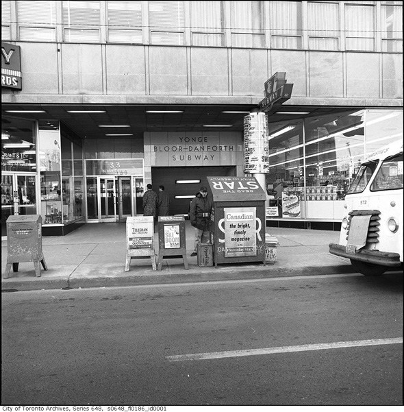
Union Station is an important building so of course it would be included as part of the PATH. Also, before all this Union Station construction started, you could get to Union Station without going outside via the Royal York Hotel. This connection was actually the first PATH connection ever built. 110 Bloor St. W is just a random building, so it shouldn't be included. If it was included, there are many other buildings we could include which are a short walk from the PATH.
 
Union Station's connection from the Royal York was used by maybe 2% at best of the people coursing through the PATH system to get into Union. Declaring that Union was a part of PATH only because of that particular connection is academic at best, reflecting none of the practicality of the daily experience of 98% of PATH users in that area.

110 Bloor West isn't just a random building with an outdoor connection. The connection leads directly from the concourse level of Bay Station's west entrance under a short bridge and directly into 110. You'll encounter more cold air going from the Sheraton Centre into City Hall if you follow that PATH connection, before having to pass through an unheated parking garage.

There will be little exceptions here and there to the full climate-control rule that should not rule out purpose-built or marked connections. If you're not getting rained on or caught in a blizzard, that should be test enough.

42
 
I'm not understanding how I get from here to 110 Bloor W without being rained on. It doesn't look very direct to me.

EDIT: I was just in the area and decided to check out the 110 Bloor W connection for myself. After seeing how convenient it is, and seeing that the TTC actually advertises it as a subway connection, I'm going to have to change my stance on this one. You're basically outside for less than 5 seconds and it's covered. Village Of Yorkville Park should still be removed though.
 
Last edited:
Agreed!

It shows something about Montreal though that they include parks/squares at Metro stations and beside RESO buildings. Maybe including such things on the PATH map in green wouldn't be the worst idea? It's worth considering.

42
 
I certainly suggest that the official PATH map shows the Jack Layton (Island) Ferry Terminal now that PATH is so close to it (@ the new RBC Building). EDIT: The City's PATH Manager has confirmed that the official PATH map (updated online monthly) is being revised to show the Jack Layton Ferry Terminal.
 
Last edited:
I will begin color-coding in the next version of the map. Green for public spaces, pink for under construction, and some other color for proposed. I will use thick lines for protected connections, rounded dots for unprotected connections, and square dots for future connections.
 
WislaHD: Other comments on your map:

1. There's a direct connection to OISE at St. George Station.
2. There is a tunnel into the Queen's Park office complex at Queen's Park station. That one will take some research.
3. There is a proposed PATH connection from the Atrium on Bay to the proposed development at 20 Edward Street.
4. You can make the line from the Air Canada Centre solid down to WaterPark Place and left into RBC WPP III.

42

Toronto General Hospital is directly connected to MaRS in the concourse level by a recently renovated and well lit portal. With the Queen's Park and TGH/MaRS connections, this is also a significant underground network.

To those in the know - you can access Princess M, M Sinai, and Sicks Kids via the -2 level connection in TGH. This will never be part of any official PATH, as it's used to transport patients and equipment between hospitals (never mind being maze-like), but any person can use it without access cards.
 
Another thing about 33 Bloor E: its predecessor--built in conjunction with the original 1954 Yonge subway--might as well qualify as the seed for the "Bloor PATH", much as the Royal York-Union Station connection (or, the Eatons-Eatons Annex connection) was for the downtown PATH network

2011318-Entrance-bloor-danforth-1966-s0648_fl0186_id0001.jpg


By comparison, it's interesting that the shopping corridor of the 1240 Bay office building, even though built astride and at the time of Bay Station, does *not* have an internal connection to Bay Station.
 

Back
Top