News   Apr 26, 2024
 1.5K     4 
News   Apr 26, 2024
 325     0 
News   Apr 26, 2024
 881     0 

Miscellany Toronto Photographs: Then and Now

I've a PhD in history, but with a focus on medieval history. I decided to forgo the horrid academic job market and have been in project management for the past eleven years, so I am a historian by vocation and training rather than profession.

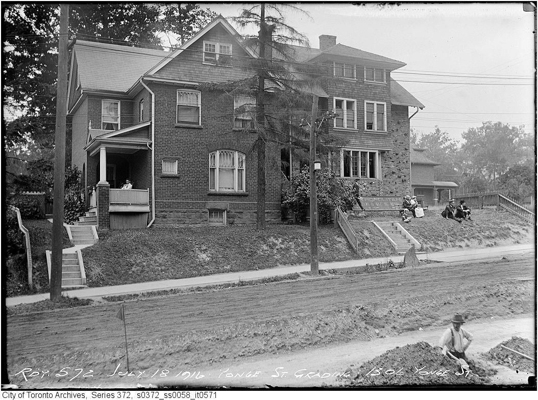
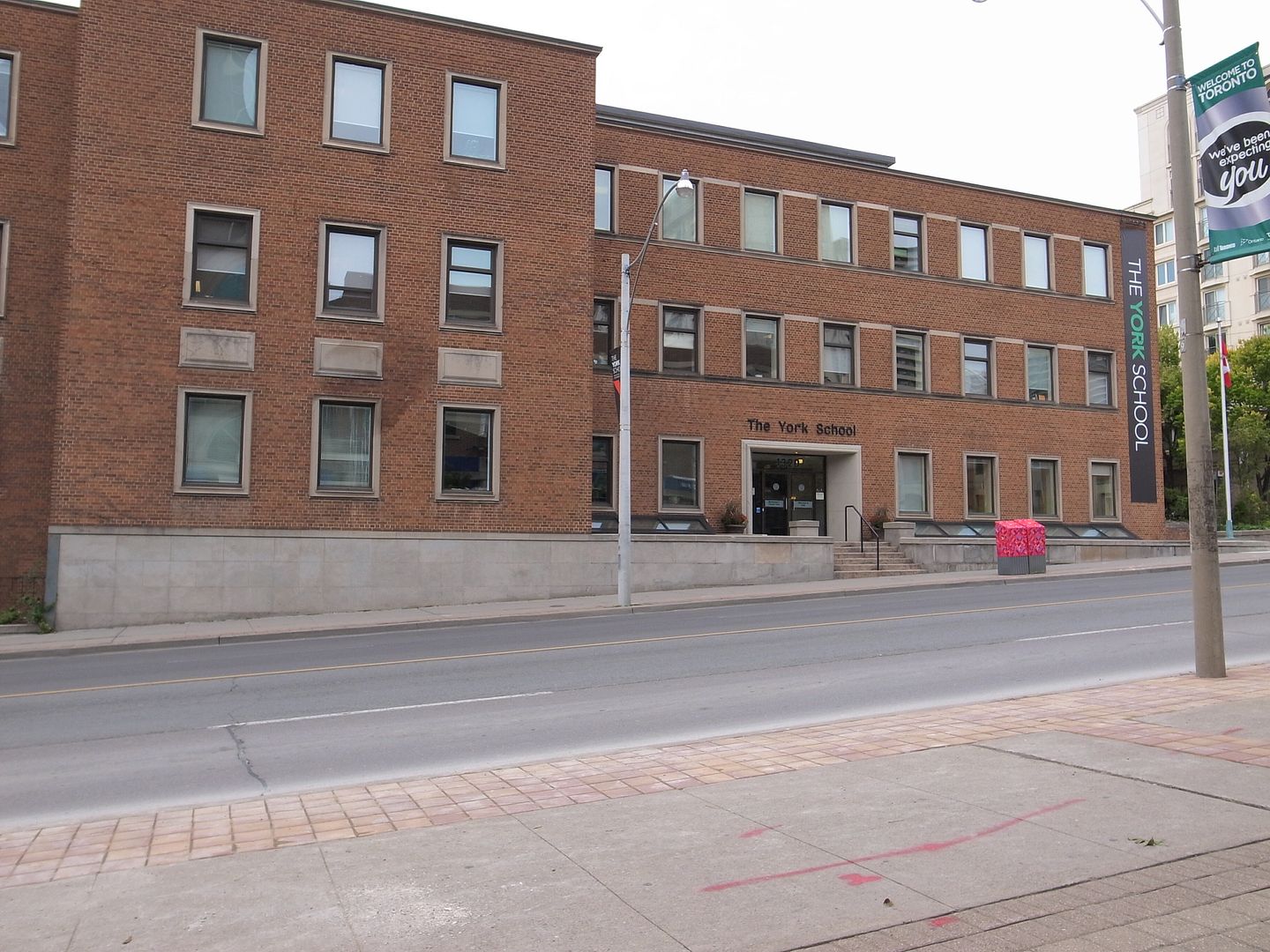
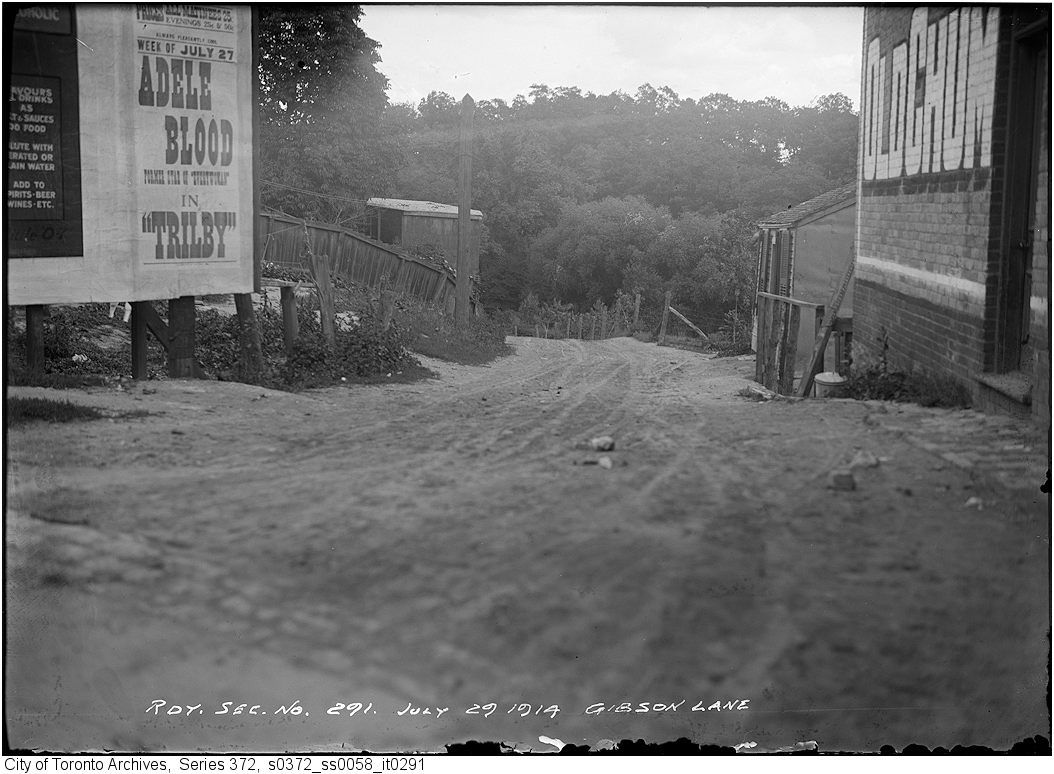
I do hope to have time at some point to return to history, and if I do, Toronto architectural or social history would probably be where I would go.

Cool! I guess we can say enthusiastic and well-educated amateurs then.
 
Sneaking one in Mustapha, even though it's not your day off! I hope it's OK.

Kodak Building 9 Entry Hall, circa 1942:

20090702-Bldg9_lobby_1942.jpg


Post-2005?

8652664152_85579f43f7_z.jpg


2011:

8652673042_803946eb2f_z.jpg


2020:

8652679562_c57ec0f5e3_z.jpg
 
Regarding post # 10910

I believe it is. Note the location of the steering wheel of the car, bottom right corner.

That in itself might not necessarily suggest a reversed picture. It was not uncommon once for car manufacturers to produce vehicles that were right-hand drive in markets where traffic moved on the right (and LHD in left-hand traffic countries) because it was thought that the driver should have a better view of the nearside edge of the road (especially on hills and mountains) than of the centre. The city archives contain quite a few instances of RHD vehicles in images that are clearly not reversed (evident from text in the image, direction of traffic, landmarks, etc.).

The vehicle that is passing in the photo could be LHD and we might be looking at a passenger, but it's difficult to tell.
 
Sneaking one in Mustapha, even though it's not your day off! I hope it's OK.

Kodak Building 9 Entry Hall, circa 1942:

20090702-Bldg9_lobby_1942.jpg


Post-2005?

8652664152_85579f43f7_z.jpg


2011:

8652673042_803946eb2f_z.jpg


2020:

8652679562_c57ec0f5e3_z.jpg

k10ery,

Congratulations.

To my mind this is the most breathtaking Then and Now to appear just about anywhere on the internet.

Your story-in-three-pictures is also about the rise and fall of Kodak.
 
How wonderful to see the entry at "Kodak Heights" where my grandfather worked during the '20s, '30s and '40s. It's hard to believe now that Kodak dominated the field for most of the 20th century. Shocking, sickening vandalism.
 
Looks like it was gone by 2005, along with the terrazzo floor. The 2011 view is a cross between Detroit and Clockwork Orange.

Maybe I'm being optimistic, but if you look at this infiltrationaist's other photos, I think the terrazzo might be underneath that tile. Ditto the mural?

Of course, whatever survived the vandalism won't necessarily survive the "renovation". But what potential!

Mustapha said:
Your story-in-three-pictures is also about the rise and fall of Kodak.

Yes, particularly since that last photo is so obviously digital.
 
Then and Now for April 16, 2013.


Then. July 18, 1916. 1306 Yonge (at Farnham, SW corner). Yonge Street grading.


10621916YongeFarnham-swcorner.jpg


Now. September 2012.

1063.jpg
 
Then and Now for April 16, 2013.


Then. July 18, 1916. 1306 Yonge (at Farnham, SW corner). Yonge Street grading.


10621916YongeFarnham-swcorner.jpg


Now. September 2012.

1063.jpg

Note the faded Toronto and York Radial Railway Metropolitan sign if front of the north house, the people waiting for the train and the wheel stop for the tracks. This was the second terminus for the Met after the CPR underpass was built a little further south and forced the end of the line to Farnham. Another point of view after the station was built. https://gencat4.eloquent-systems.co...esource/ser372/ss0058/s0372_ss0058_it0718.jpg
 
Note the faded Toronto and York Radial Railway Metropolitan sign if front of the north house, the people waiting for the train and the wheel stop for the tracks. This was the second terminus for the Met after the CPR underpass was built a little further south and forced the end of the line to Farnham. Another point of view after the station was built. https://gencat4.eloquent-systems.co...esource/ser372/ss0058/s0372_ss0058_it0718.jpg

How keenly observant of you FAW, thank you for this history and picture link.
 
Then and Now for April 17, 2013.


Then. July 29, 1914. Gibson Lane... ran east from Yonge roughly midpoint between what is now Alymer and Church. This picture is of course from the online Toronto Archives. The location I found in one of 'plinks' old Toronto maps at his online resource. I thought it interesting that a scrubby little lane running east off Yonge down into Rosedale Valley could exist as late as 1914. There is a 'cottage' of sorts that can be glimpsed down the lane on the right side.

1066gibsonlnlookingefromyongehalfwaybetweenaylmerandchurch.jpg


Now. September 2012.

1067.jpg
 
Gibson Lane - formerly Rosedale Lane. One of the lost paths down to Park Road, along with the cut off Severn Street just south of it. Here are better photos of that house on the right side of the image - taken by the Department of Health, 1913.

8658020050_fa1d99660c.jpg


8658019790_309010afe5.jpg
 

Back
Top