News   Jun 28, 2024
 1.9K     2 
News   Jun 28, 2024
 1.4K     1 
News   Jun 28, 2024
 560     1 

Miscellany Toronto Photographs: Then and Now

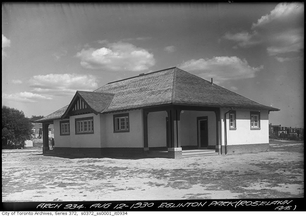
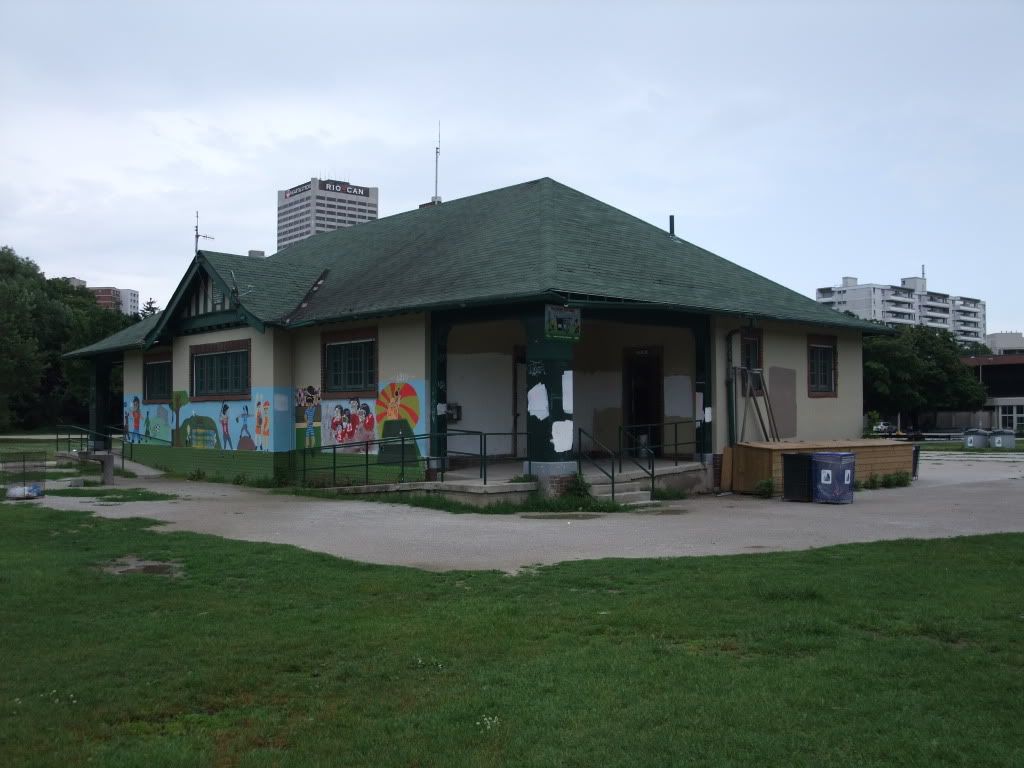
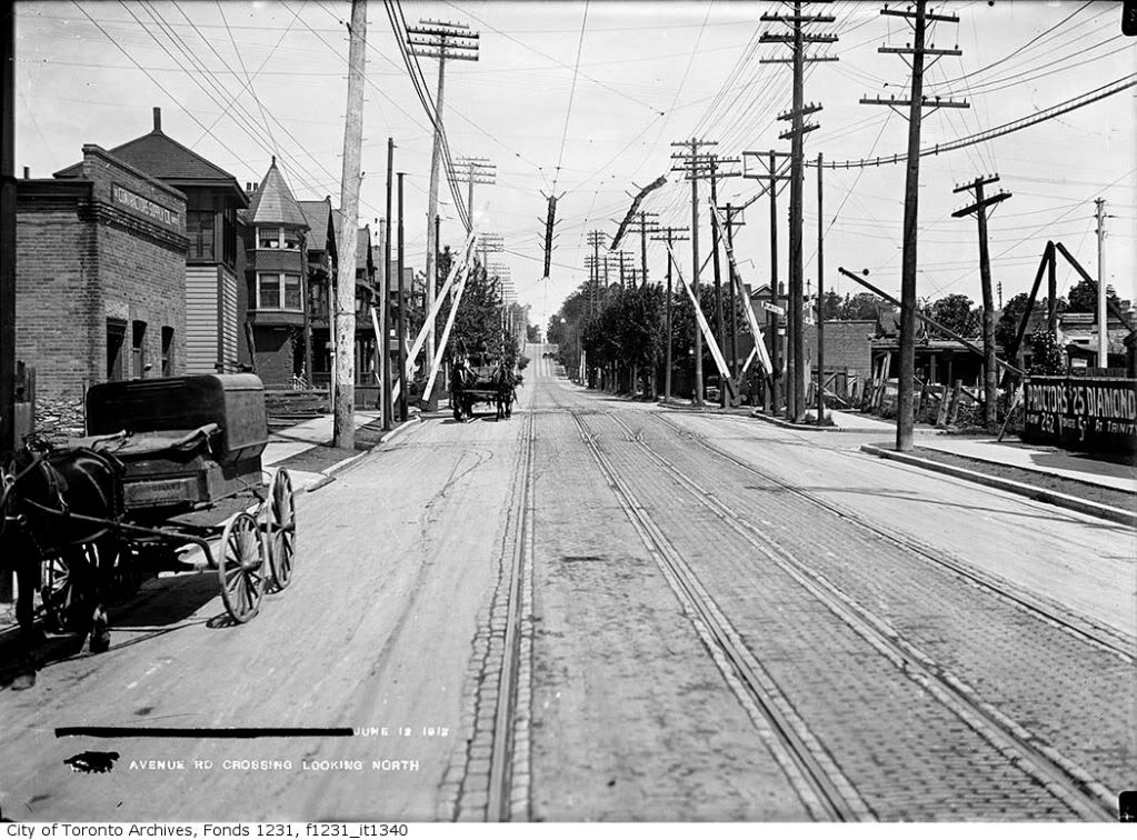
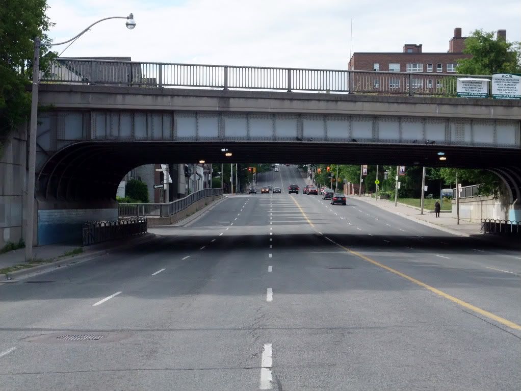
It looked like that up until fairly recently -- 15 years ago I was definitely traipsing up and down that hill to and from Bayview Village, and if memory serves, as recently as 10 years ago.

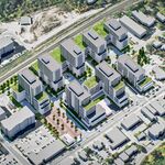
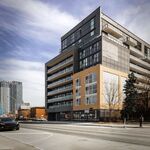
That hill only changed in the last couple of years when they started construction on this building.
 
The one in the photo is certainly in a new "frame" but I bet the centre part with the date, crest etc IS from 1889. (Several in Old Town Toronto are in what look like the original, somewhat more decorative, frames.
However, nobody seems to know WHY there are so many dated 1889 (and none (?) from other years. (Either they used the 1889 mold for ages or someone placed a huge order and the City had a stockpile.

Ah, so that's it; thanks. New York City is another place to see old manhole covers too. In some NYC babes they also have these glass things embedded into ancient sidewalks to let light into basements that extended out under the sidewalk.


September 4 addition.


Avenue Road looking N from Dupont.


Then: June 1913


fo1231_f1231_it1340.jpg


Now: June 2009

Most of the houses on the left are still there; many with commercial frontages.

DSCF0954.jpg
 
Last edited:
It would be neat if they'd resurrect an Avenue Rd. streetcar, say, terminating at St. Clair in the north and down through a tunnel to Museum Station in the south. There's certainly enough room to accomodate tracks, even for a right-of-way, and there's a decent amount of density along that corridor in the form of midrise apartments (the St. Clair terminus alone could service that stretch of apartment buildings between St. Clair and UCC).

Also, what's the purpose of that jog in the sidewalk on the west side just past the rail overpass?

It would even be neater if they pushed it north, skirting UCC, across Oxley and up Avenue Road to the 401.:)

The jog... I think it was because the sidewalk would have had too steep an angle. Just a guess.
 
Avenue Road near Dupont - June 1913 pic...

Mustapha: Interesting pic showing a at-grade crossing of a trolley line and steam railroad - note the guard sides on the trolley wire to keep it in contact
with the car's pole below.

I can think of one place where a trolley line crosses a railroad today:
SEPTA's #11 and #13 trolleys(Philadelphia-Darby) crossing a CSX freight line at grade with the same wire guards above. It is indeed quite rare today!
LI MIKE
 
Last edited:
Toronto's Centre Island

This photo of Centre Island was probably taken (1950s?) shortly after much of the Island was cleared of homes, stores, hotels and most cottages - certainly before the TD Centre was built.
A desolate garden (centre of photo) was created where, during the 1930s & 40s, there was a busy, bustling street of shops, hotels, food and amusement.
Does anyone have access to a old photo of the wonderful street that once was the main attraction of centre Island?
 

Attachments

  • Centre Island.jpg
    Centre Island.jpg
    85.8 KB · Views: 373
Centre Island

Yes, I have some photos of Manitou Ave or "the main drag", but finding them at the moment is just not a priority. We spent our summers on the island when I was a little kid.

There was a greater variety of stores on Manitou than there are now in the village I live in.
 
This photo of Centre Island was probably taken (1950s?) shortly after much of the Island was cleared of homes, stores, hotels and most cottages - certainly before the TD Centre was built.
A desolate garden (centre of photo) was created where, during the 1930s & 40s, there was a busy, bustling street of shops, hotels, food and amusement.
Does anyone have access to a old photo of the wonderful street that once was the main attraction of centre Island?

Not a great photo (considering it's a postcard), but how about this:

Main_Street_Centre_Island_Toronto_1944.jpg

(Source: http://commons.wikimedia.org/wiki/Category:Toronto_in_the_1940s)
 
This photo of Centre Island was probably taken (1950s?) shortly after much of the Island was cleared of homes, stores, hotels and most cottages - certainly before the TD Centre was built.
A desolate garden (centre of photo) was created where, during the 1930s & 40s, there was a busy, bustling street of shops, hotels, food and amusement.
Does anyone have access to a old photo of the wonderful street that once was the main attraction of centre Island?


I inserted 'manitou' into the search field at the online Toronto archives; although no street scenes, lots of pictures of individual structures. if you enter 'island', there is enough to look at to pass an afternoon. :)

BTW, 'desolate garden'; interesting turn of phrase, Goldie. :)


September 5 addition.


Eglinton Park 'lavatory' - as they used to call these things.

When I was a kid, the older folks referred to this park as 'Pears' [pronounced as 'Pierce'] Park. My 82 year old neighbour played baseball here in the 30s. He says they would walk home to Riverdale after their games. Nowadays this park is an awful lot of open space - you can really get lost standing in the middle of it and just drinking it in. I think it's under appreciated and under utilized except by dogs and their owners. In the 50s and 60s an afternoon here meant lots of kids flying kites and rubber band powered balsa wood airplanes...


Then: August 12 1930.

ser372_ss0001_s0372_ss0001_it0934.jpg


Now: June 2009

DSCF0986.jpg
 
Last edited:
The loo in Withrow Park is a rather zany neo-Classical temple to evacuation.

This photo of Centre Island was probably taken (1950s?) shortly after much of the Island was cleared of homes, stores, hotels and most cottages - certainly before the TD Centre was built.
A desolate garden (centre of photo) was created where, during the 1930s & 40s, there was a busy, bustling street of shops, hotels, food and amusement.

And the venom directed towards residents of the Island continues today, though no longer institutionalized as an agent of urban renewal.
 
To be fair, today's Centre Island has its adherents--of course, among those who're too young to have known the original. And among those who can dig a local version of Festival-Of-Britain-era Battersea Park...
 

Back
Top