thecharioteer
Senior Member
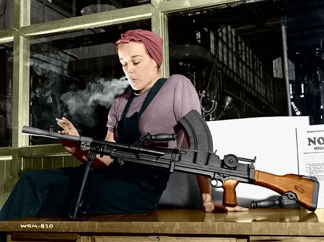
Then and Now for September 14, 2012.
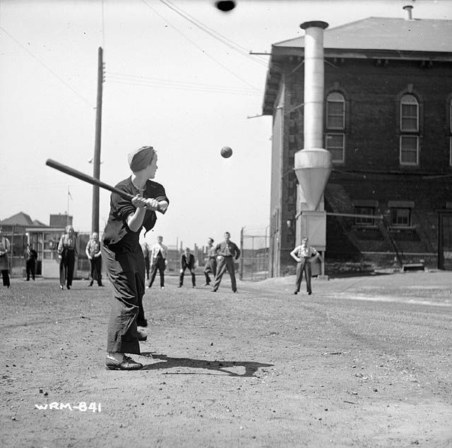
Then. Women munitions workers play a game of baseball at the John Inglis Co. Bren gun plant. May 10, 1941.
Now. May 2012. 'Liberty Villlage' neighbourhood. Looking W at the NW corner of Liberty and Pirandello Streets.
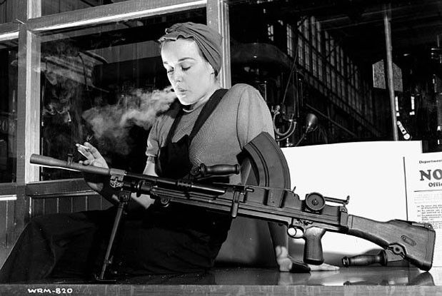
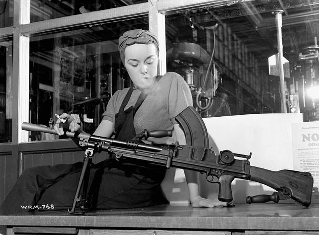
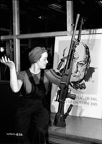
Lots of history in these two photos. As this is a daily thing for me, I'll condense/distill it as best I can. In the old picture that is 'Ronnie the Bren Gun Girl' at bat. A famous lady; Google her, lots of info and pictures. She worked for the John Inglis Co. in 'war work' producing Bren Machine Guns.
Ah, Veronica Foster, the Bren Gun Girl, Canada's badass version of Rosie the Riveter.......
Last edited:

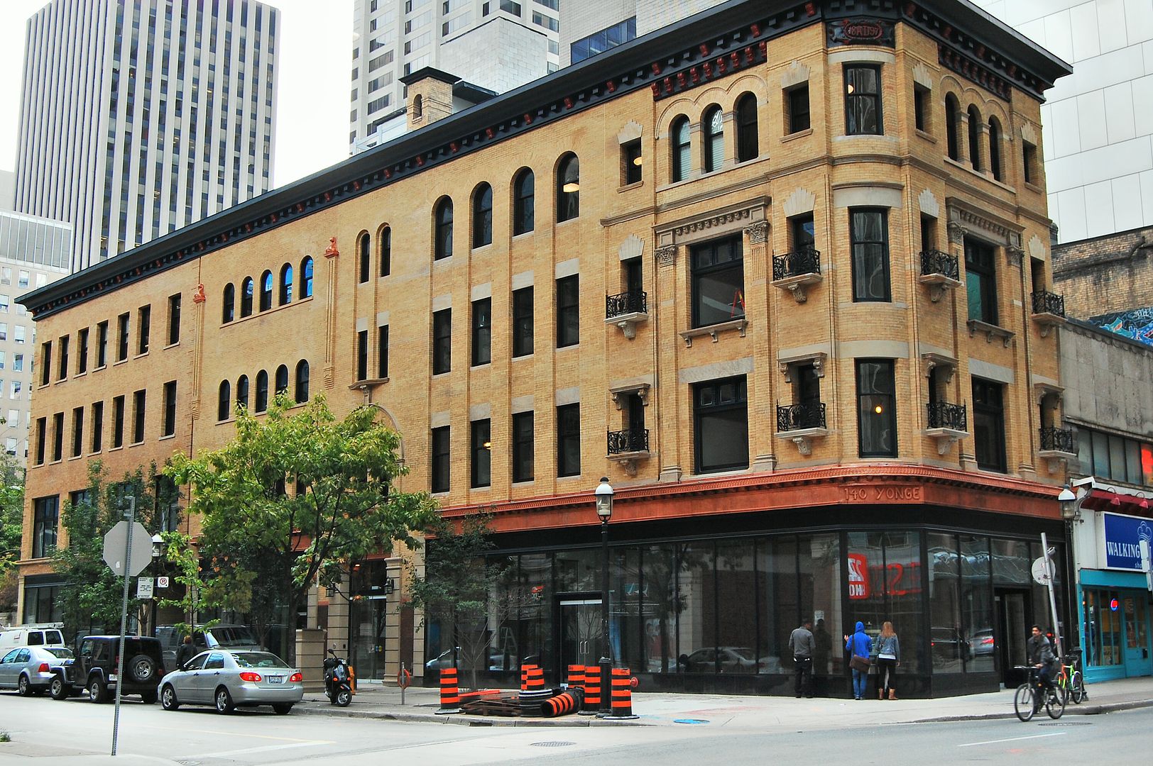
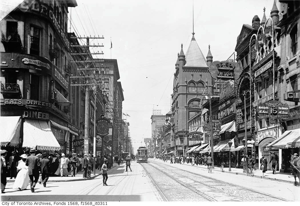
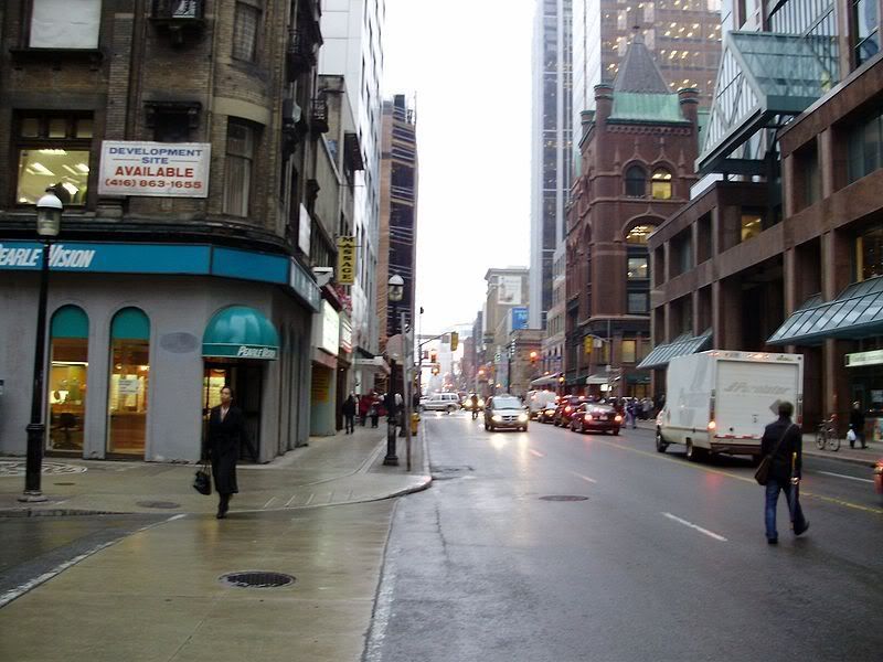
") A bee-yoot!
A bee-yoot!