News   May 24, 2024
 8.7K     2 
News   May 24, 2024
 1.2K     0 
News   May 24, 2024
 477     0 

Evocative Images of Lost Toronto

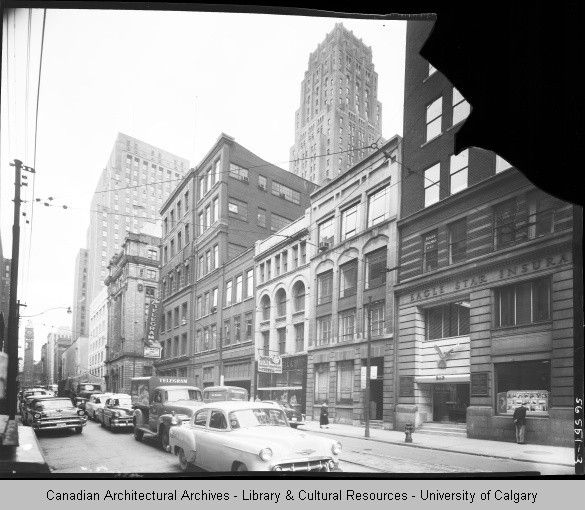
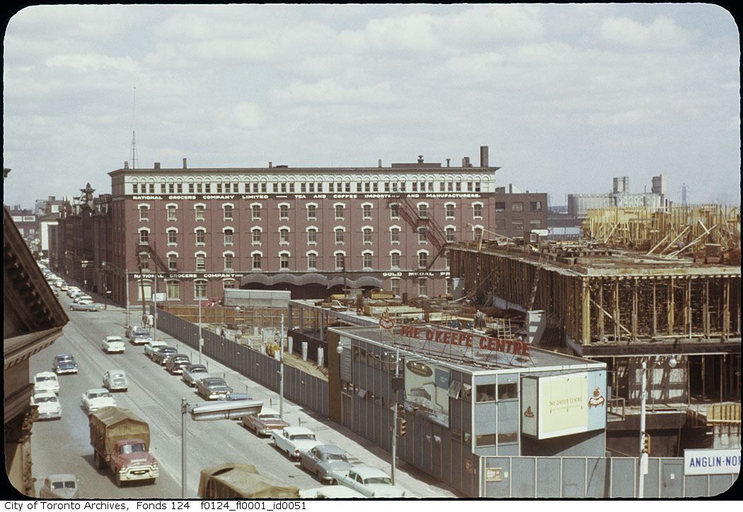
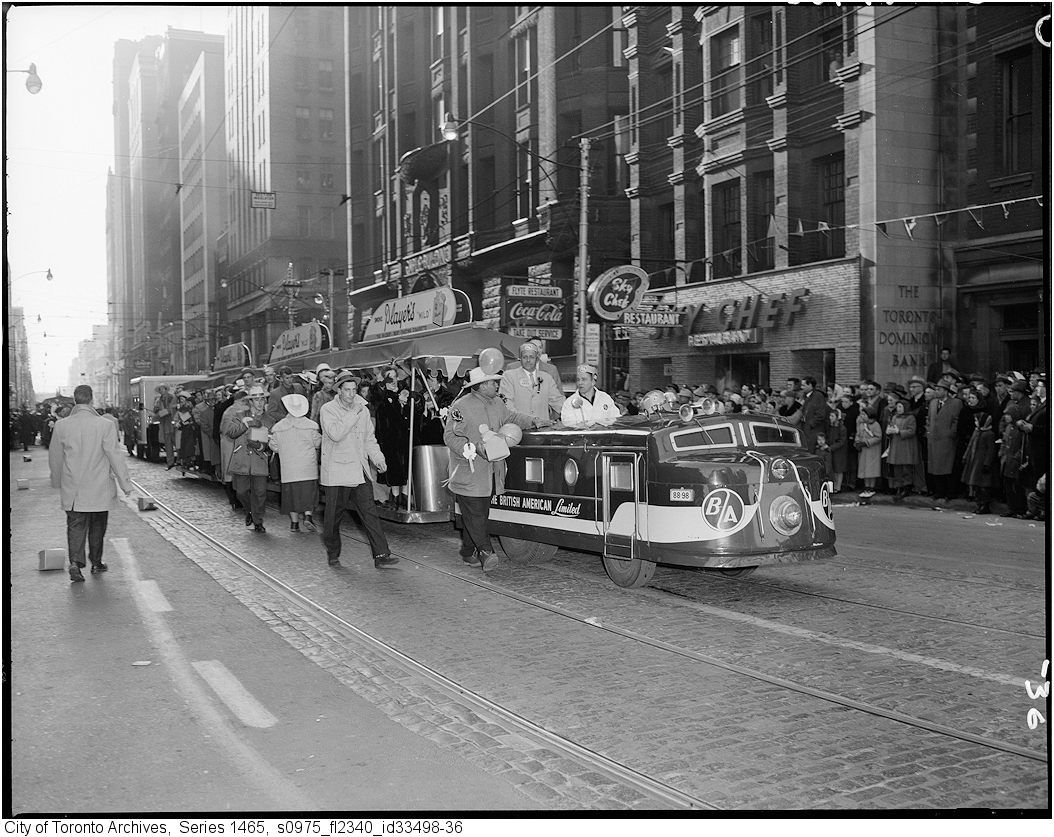
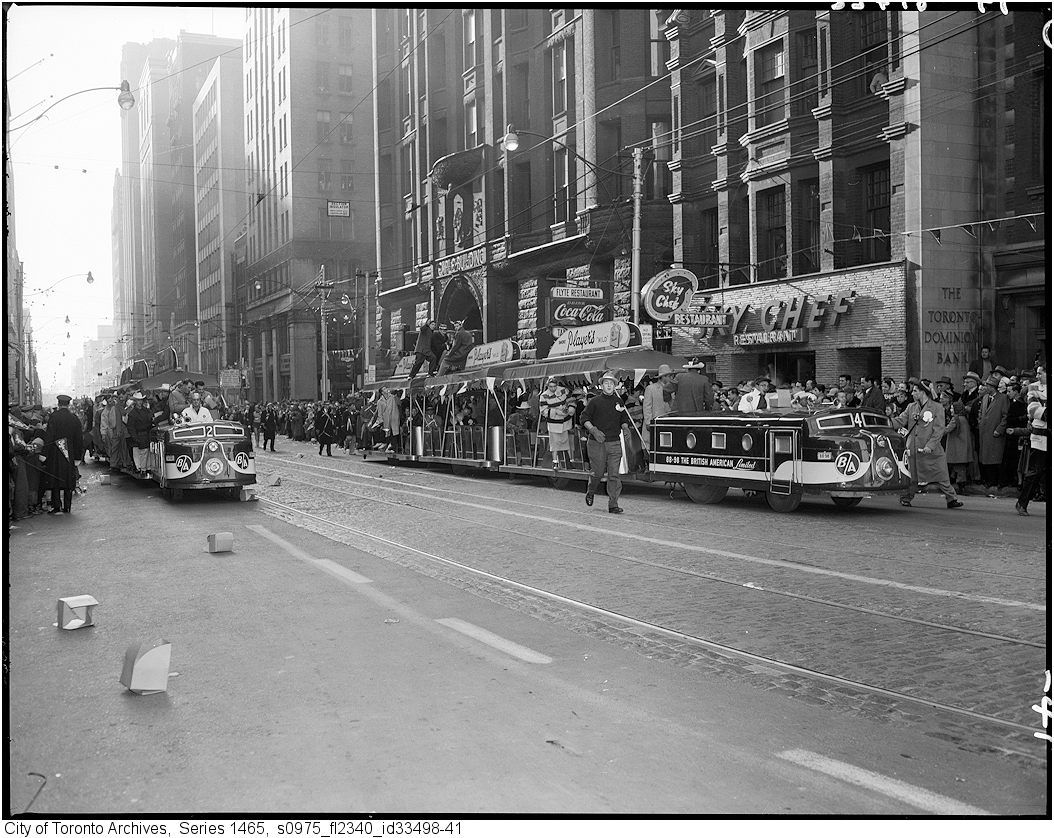
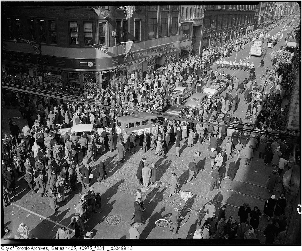
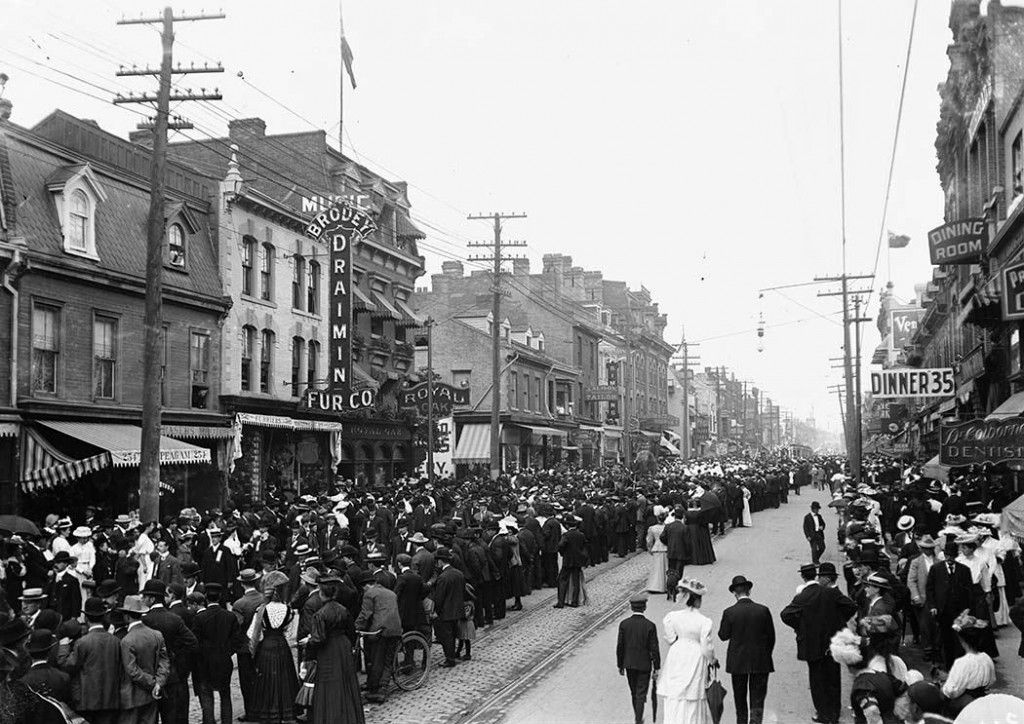
I have this one saved in my "Brick and stone streets" folder of historical photos of Toronto. It confirms that Front Street was paved with stone blocks between Yonge and Bay streets, as the 1908 map of street paving in Toronto indicates. Like Yonge south of King and The Esplanade, it was fully paved with stone blocks, not just the streetcar tracks. However, evidently by 1930, a thin layer of asphalt had been poured onto part of the road surface to make it easier for cars to travel on. Toronto's history with this kind of paving is short, but it's interesting to see that existed because of its old world charm.

The City should definitely restore these kind of streets in "Old Town".

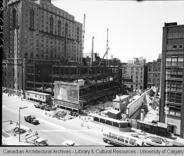
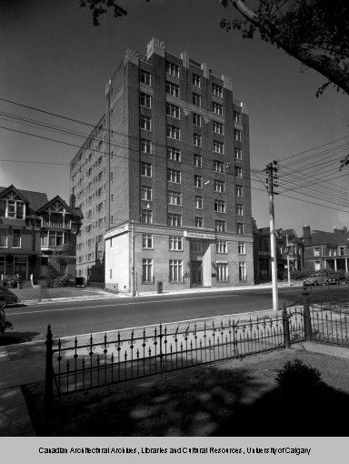
Bloor Street west of Yonge in 1958 (for some reason, I think that the current Holt Renfrew store re-used some of the previous structure):

18-28bloor1958b.jpg
18-28bloor1958.jpg
 
Last edited:
Though the Panda studio was known for its documentation of "modern" buildings, they also recorded a number of "old" buildings throughout the 50's, perhaps as pre-construction pictures of the new buildings that would soon replace them:

King and Bay 1947:

kingbay1947.jpg


Bay & Wellington:

baywellington.jpg

This pair is particularly interesting. In the top one, you can see the hoarding for the Bank of Nova Scotia building is up, but the building hasn't been started. In the bottom one, it's complete.

The other thing to note is just how completely the Front to Adelaide stretch of Bay has transformed. Bay definitely once had a feel similar to that of Yonge St. Entirely different now.
 
Pretty certain Holt Renfrew (c. 1978) was a new construction. If Crombie's 100-ft height limit hadn't been in place, there likely would have been a tower on top.

However, if you go into the back alley, you'll find stretches of brick wall that evidently belonged to Woolie's/Zellers. (A little like the original version of the situation that saw the new Dundas Square Hakim keep the side walls of its predecessor.)
 
The Tivoli (Allen) Theatre, SW corner of Richmond and Victoria:


1965 (just prior to demolition):

f0124_fl0001_id0148.jpg


http://silenttoronto.com/?tag=tivoli-theatre

One of the more interesting parts of this series is the longevity of the businesses adjacent to the theatre to the left of the entrance. The corner spot was a cigar store in 1919 and still was in 1965, and the La Paloma survives through the entire period as well (I am assuming as a restaurant) with three different periods of signage (love the Moderne period!). The Rolex sign on the other side had a long life as well.
 
Toronto and parades. Before Pride, there was the Orange Parade, Santa Claus, Labour Day, the Grey Cup, Victory Bond Drives......

parade.jpg


parade1.jpg


parade2.jpg


parade3.jpg


parade4.jpg


parade5.jpg


parade6.jpg


parade7.jpg


parade8.jpg


parade9.jpg


parade10.jpg


parade11.jpg


parade12.jpg


parade13.jpg


parade14.jpg


1900s_Toronto_LabourDay_Parade-1024x724.jpg
 
Last edited:

Back
Top