dullturtle06
Active Member
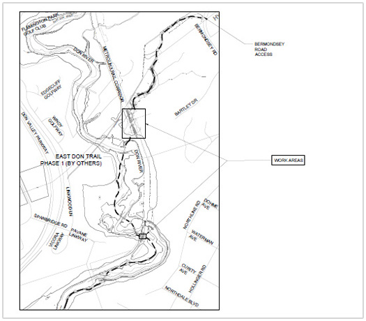
Question: why does the trail need to be tunneled or bridged? Why is a grade rail crossing with gates not sufficient. That rail corridor has only 6 trains a day during the week, and no train service on the weekend. Pottery road crossing works just fine and has heavy vehicle and foot/bike traffic.