Urban Shocker
Doyenne
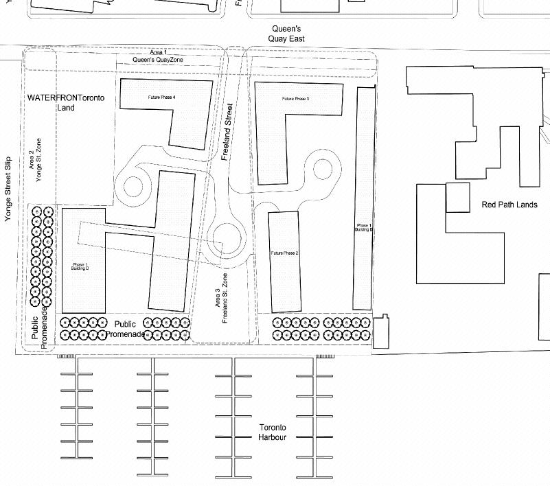
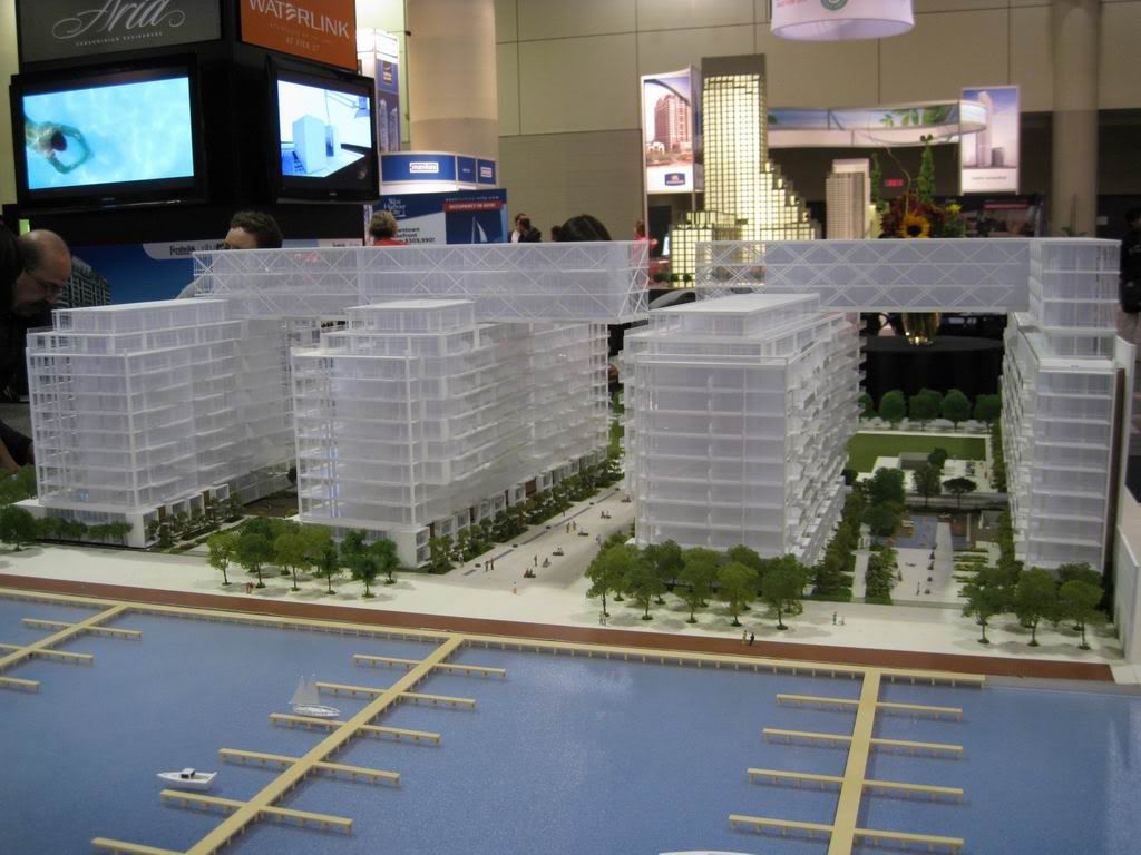
u2: There will be one. It will continue around the south end of the buildings, where it will be joined by a public space that cuts through the centre of the development; it will be remarkably similar to the other public spaces that already exist at Harbourfront which allow the public to enjoy a lakefront promenade.
") Glad to have helped.
Glad to have helped.