Toronto Lower Don Lands Redevelopment | ?m | ?s | Waterfront Toronto

The source is BlogTO and the chance of this being funded in my (or our) lifetimes is remote in the extreme.It would probably be cheaper to build a tunnel from Billy Bishop under the runways!

A bridge to Wards may/may not be a fine idea, but the reality is that it would never come close to replacing the capacity of the Ferries.

Its moving thousands of people per hour. Getting people in those numbers to the foot of any Portlands bridge, then walking across it, then facing material walking distances on the Islands themselves, and you would now be on the extreme end, where the amusement park, children's garden and the principle beach are not.
 
Last edited:
And a lot of this rests on the fate of the Airport Lands. In addition there is the water-bus service being looked into by WT and a small ferry to the Island from The Portlands.
 
A bridge from either end of the islands doesn't land the park visitors anywhere close to where they want to be, which is Centre Island. Those aren't walkable distances for families, people planning bbqs, etc. Whether or not there's an airport between you and Centre Island.

At least the west end has some transit going to it. To make a bridge in the east end accessible to people, you'd need to build a parking lot bigger than the one proposed for Ontario Place. Or put some transit there that's a little higher order than the Cherry St bus. I happen to think a bridge on the east end would be a lot of fun, especially for cyclists, but the ferries are going to be how most people get to the island for the next bunch of decades, unless they sink.
 
And then dump everyone out at the far western end of the island and make them do a slow march to Centre Island.
I did not say it was great idea only that it would be cheaper than a bridge (which would need to be VERY tall (or move) as many ships use the Eastern passage ) but a bridge to Wards or a tunnel to Hanlon's both go the the 'ends of the island'.
 
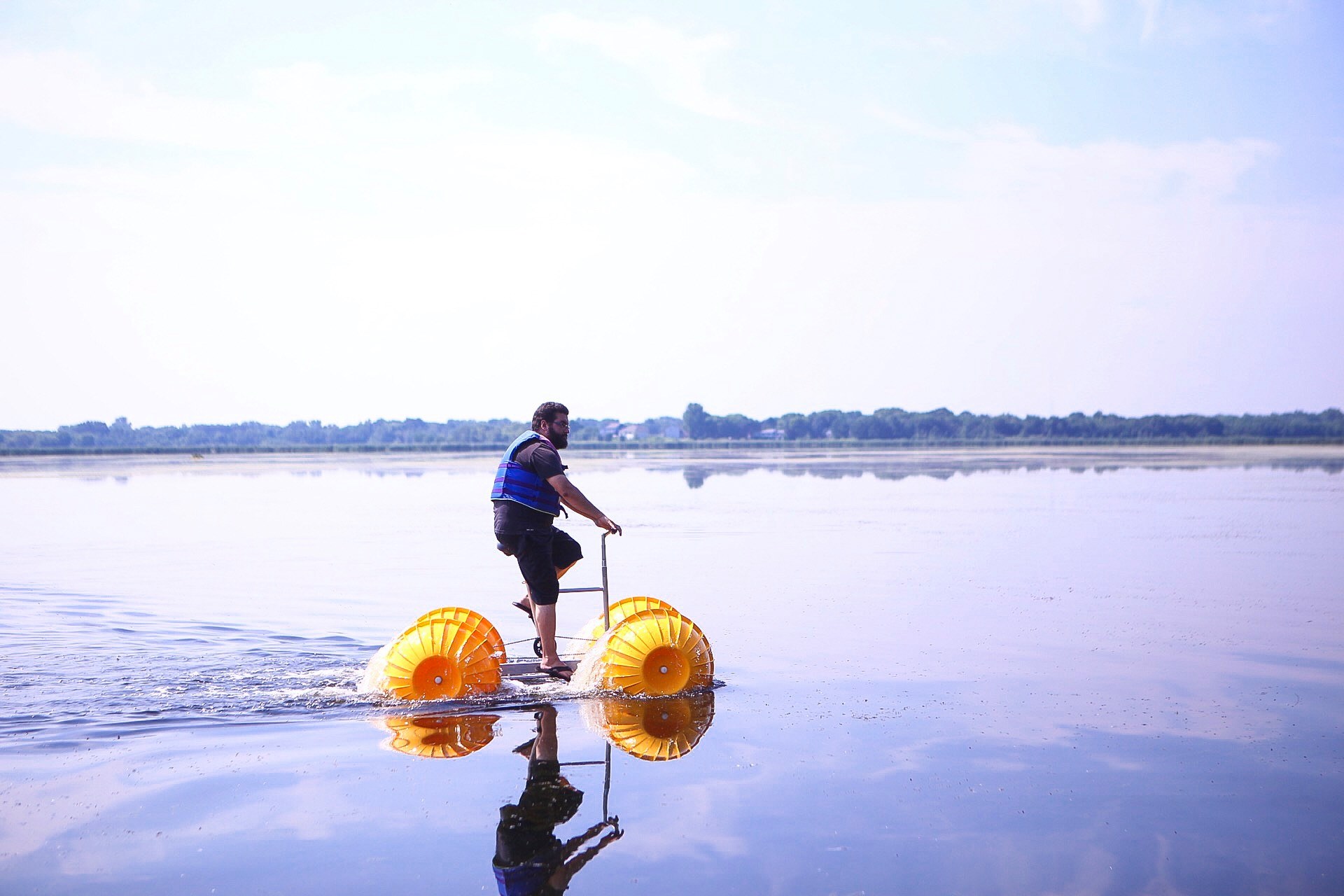
While we wait for the eastern gap swing bridge to be completed in 2183... just do a bike share rental thing with these.

It's only 200 metres across. Credit or debit card required. 💳

funny-looking-wheeled-watercraft-claims-to-be-the-world-s-first-all-floating-water-bike-199624_1.jpeg

Source
 
...kinda of reminds me of that admiral from One Piece that bikes across the seas to get where he's going. 🙀
 
And a lot of this rests on the fate of the Airport Lands. In addition there is the water-bus service being looked into by WT and a small ferry to the Island from The Portlands.
In an ideal world, here's what I'd do:

Airport operations at Billy Bishop would move to Pearson, and the airport lands would be transformed into a public park/waterfront music festival grounds - something similar to Parc Jean Drapeau in Montreal. Build the pedestrian bridge across the Western Channel, with a promenade along the current Eireann Quay. There's a streetcar stop on Queen's Quay that leads to Union, and yet another reason to build the Spadina/Front GO Station, where the UP Express can add a stop. Ontario Line station at King/Bathurst is 1.0km away.

This also creates the potential for a Toronto Inner Harbour Cycle Loop - think Stanley Park Seawall in Vancouver. Connecting to Martin Goodman Trail, through the new festival grounds, past Hanlan's point. Past Centre island beach and straight to Cherry Beach via another new pedestrian bridge, the pathway would continue along Cherry St. through the island back to Martin Goodman Trail.

The full loop would take about 35 minutes on a bike.

A bridge to Wards may/may not be a fine idea, but the reality is that it would never come close to replacing the capacity of the Ferries.
You're right, and I agree, but it doesn't matter to the conversation of whether or not to build a bridged connection. Continue the Ferry service, rebuild Jack Layton terminal, AND build the cycle track. Waterfront pedestrian traffic is not a zero sum game.

Doug Ford can put his Ferris Wheel in the new festival grounds for the trouble.
 
My ideal world looks like this:
  • Extend the Waterfront LRT south down to Cherry Beach (add a second yellow bridge).
  • Create a dedicated LRT that goes from Cherry Beach, across the channel via a new bridge (including pedestrian bridge), and around Centre Island.
Instantly makes both getting to and getting around the island easily accessible, even in winter. And I'd just love to see shots of the red streetcars going around the island, and hearing the gentle "ding ding".

Before anyone yells at me, I know it won't happen.
*whispers* in addition to the twinned yellow bridge to get over the new river, you will need a lift bridge or high-level bridge to get over the ship channel. Three new bridges total.
 
*whispers* in addition to the twinned yellow bridge to get over the new river, you will need a lift bridge or high-level bridge to get over the ship channel. Three new bridges total.
Perhaps we need a Fantasy Bridge thread here to go along with the Fantasy Streetcar Route thread?
 
For me the overall issue is that traffic around and across the Harbour has increased to the point where multiple crossing points are warranted rather than just one.
 
Maybe a "Fantasy Island" thread that has a bridge on the east end, a tunnel on the west, no airport, fourteen electric ferries zipping to different points on both sides of the harbour, a cone of silence covering Algonquin Island so they don't have to hear the tourists, and a ferris wheel to get Doug Ford to pay for it all?
 

Back
Top