News   Jul 12, 2024
 1K     0 
News   Jul 12, 2024
 939     0 
News   Jul 12, 2024
 358     0 

Miscellany Toronto Photographs: Then and Now

August 3 Then and Now.


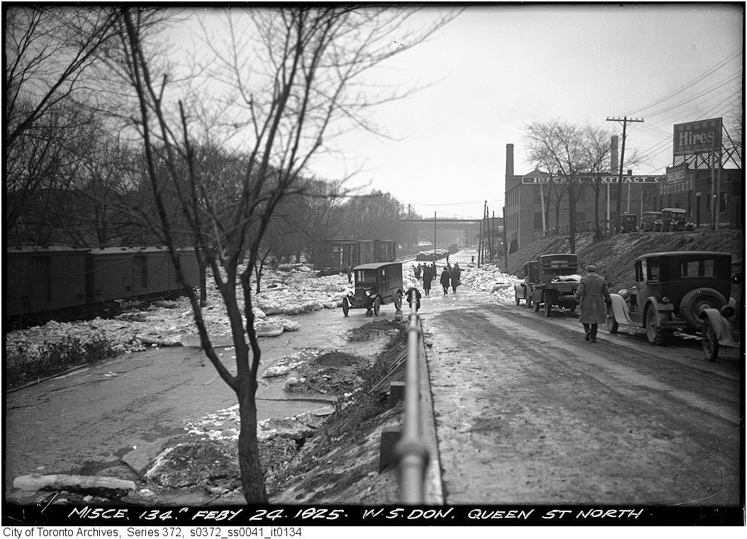
Then. 'Feb 24, 1925. W. S. Don. Queen St. N.' It's always an exciting day when there is an ice jam in the Don River and all the ice comes ashore, Lake Simcoe style.


115.jpg


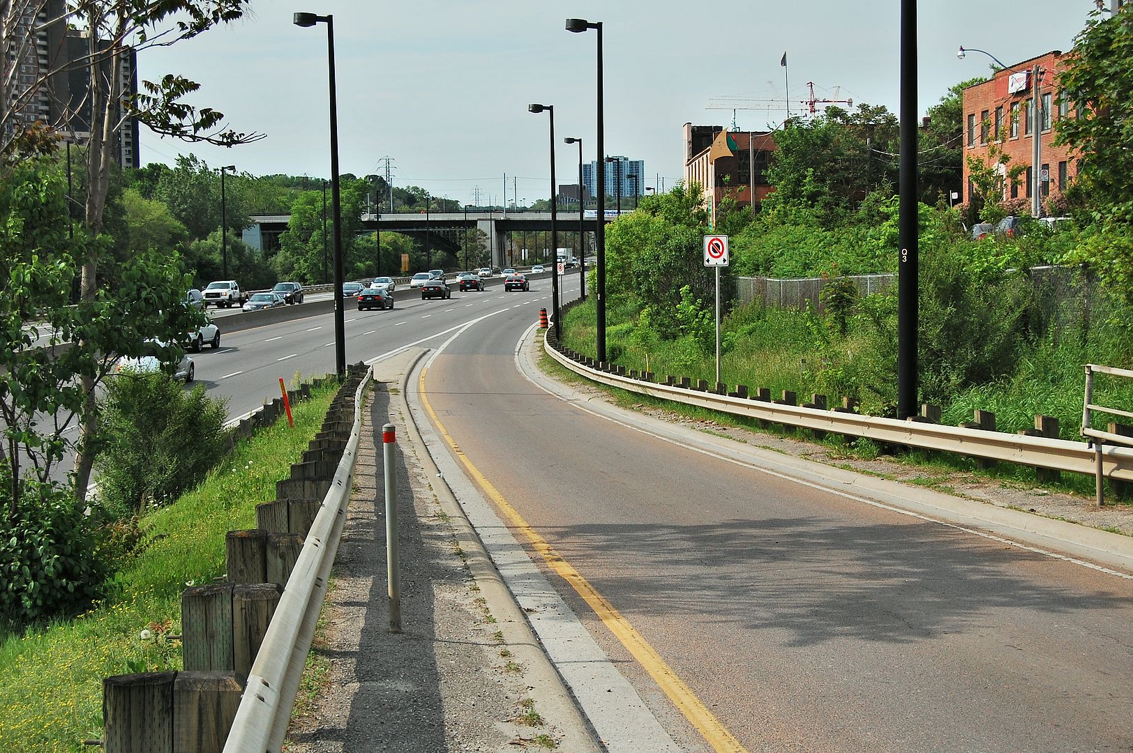
Now. May 2011. The warehouse building is still there in the middle right. The Dundas street bridge is still in the distance. There are a few more cars and the Don Valley Parking Lot is - amazingly - running smoothly.
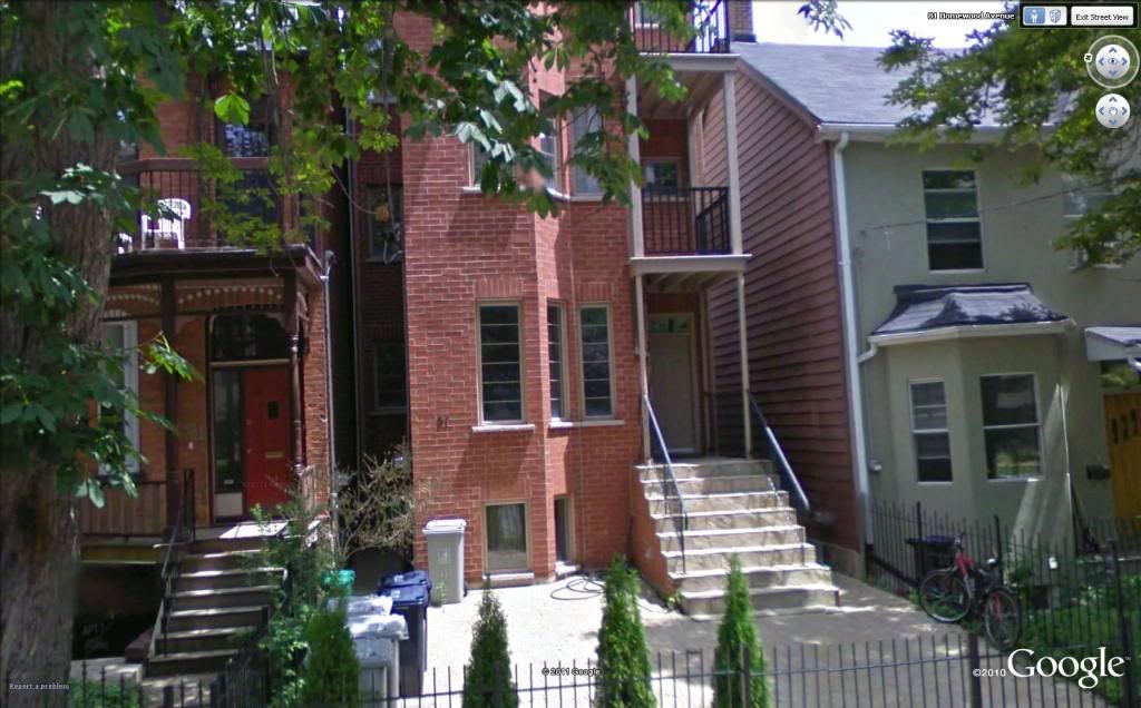
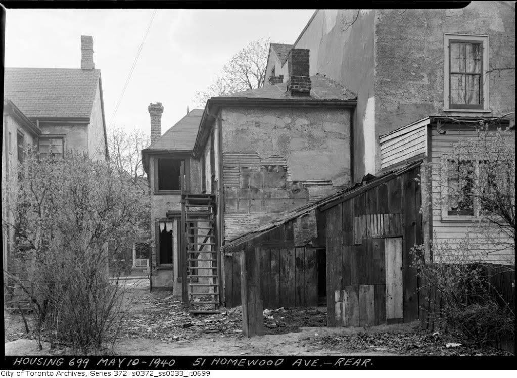
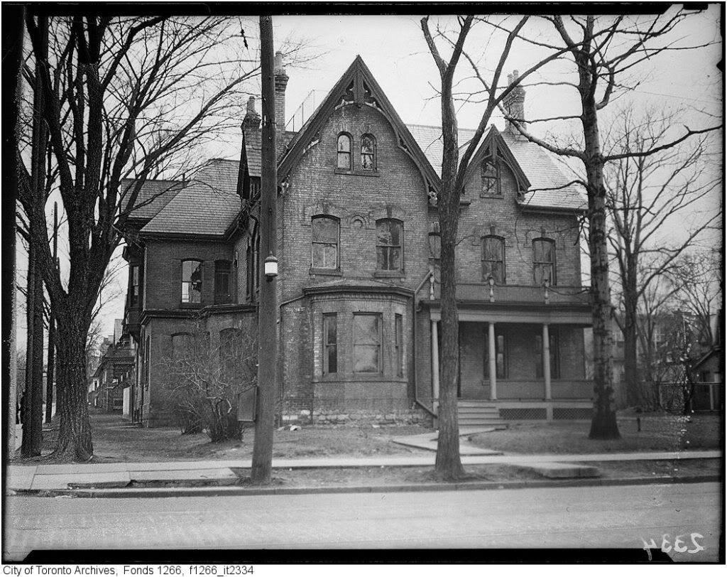
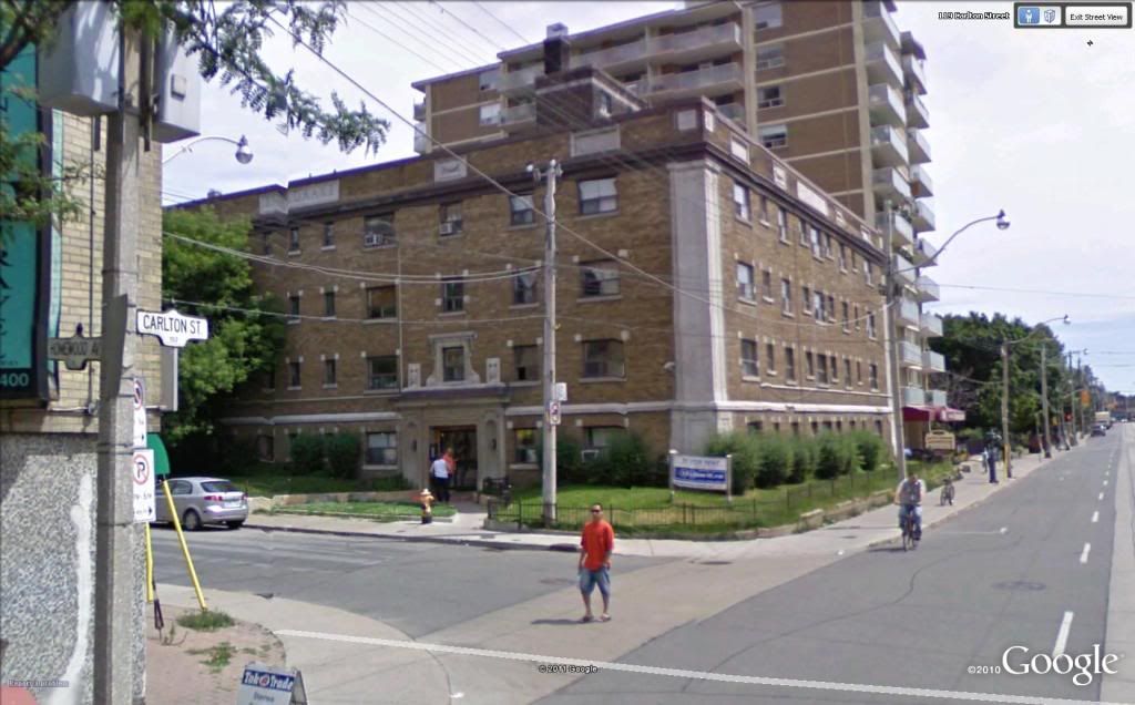
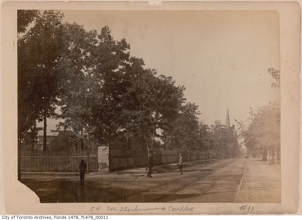
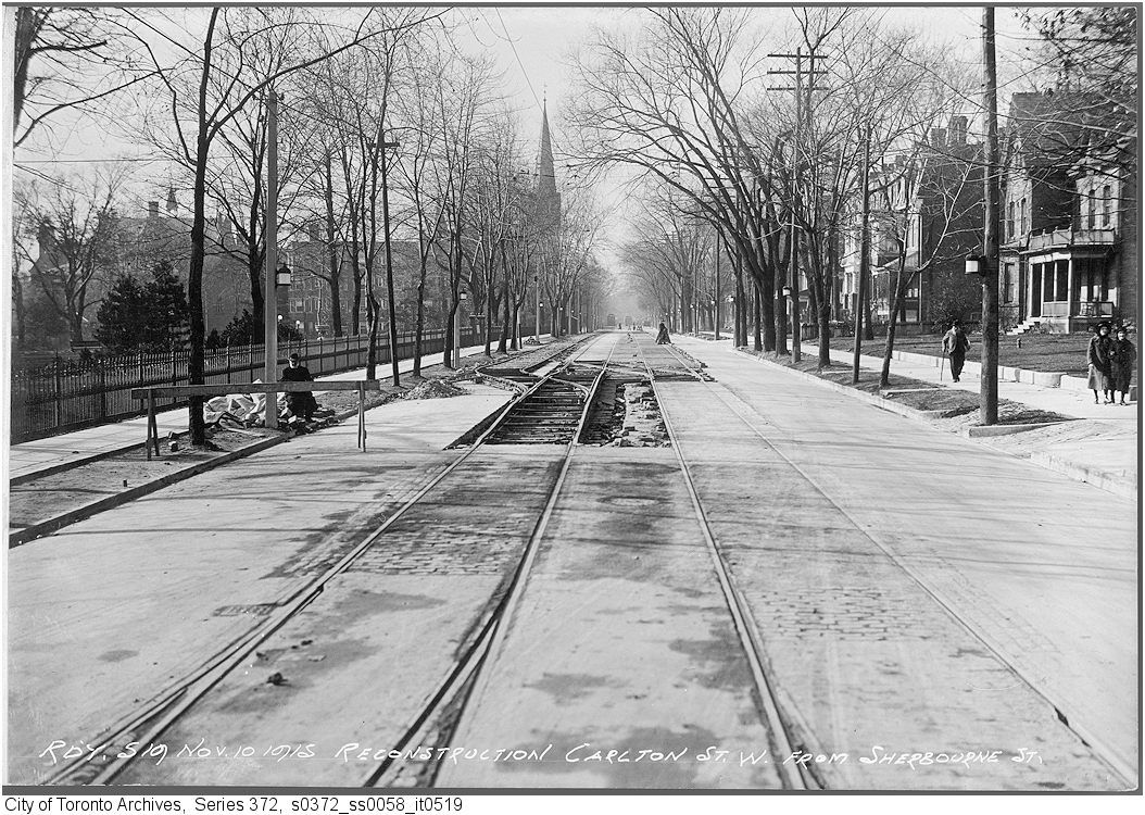
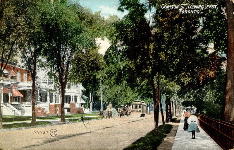
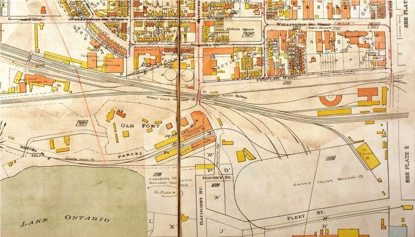
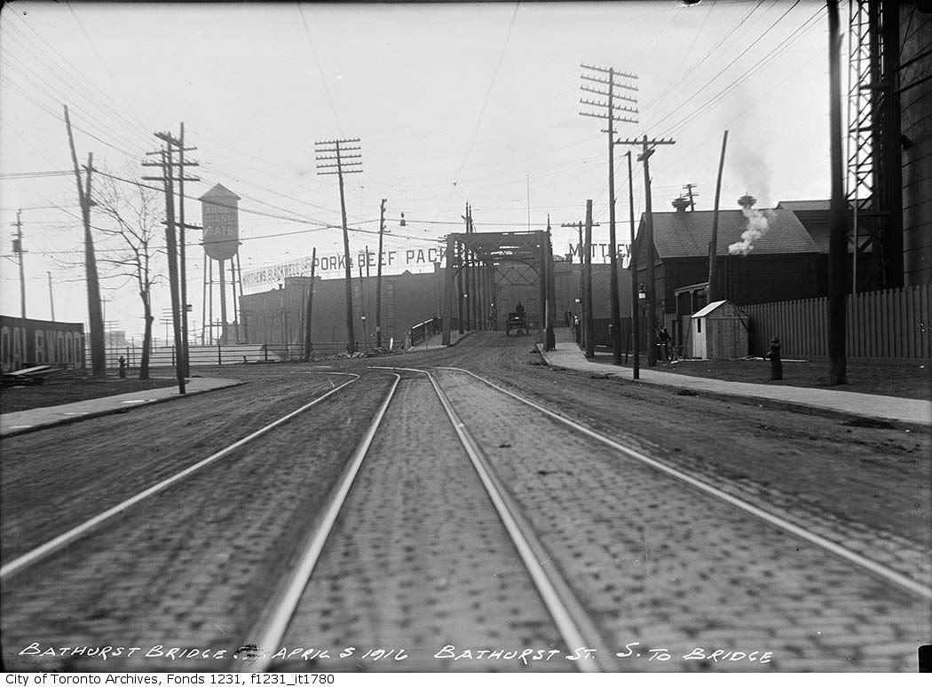

116.jpg
 
Mustapha, you're right. My mistake. Here's a screenshot from Google Earth of 51 Homewood.

51homewood.jpg


The former little building on that site looked so much like the little one just down the street, that I thought they were the same.

I had a 90-year old next door neighbour who reminisced about the area. She said that it was all "shacks, just shacks" - and basically the red-light district back in the day. I don't know quite when she meant, but as she was born in 1920, I'm supposing that meant, as you said, right up until the 1970's. As she told me, "If my mother thought I'd eventually move into a condo on Homewood, she'd roll over in her grave."

The back of '51'
51homewoodrear1940.jpg


Here's a well-to-do house on the corner of Carlton and Homewood that's no longer there. It's listed as 154 Carlton.
154carlton.jpg


That would place it, I believe, on the site of this apartment building, now listed as 1 Homewood.
homewoodandcarlton.jpg


The numbers of the streetsign (and the numbering of the Greendale Pharmacy on the corner) seem to indicate the west corner stops at 152.

In that photograph of the back of '51', it's possible to see a tiny glimpse of the west side of the street. Houses. Porches. All gone.
 
Last edited:
Carlton Street, opposite Allan Gardens, was of course much different in its day:

f1478_it0011.jpg


The Homewood/Carlton house is on the right:

s0372_ss0058_it0519.jpg


1907 postcard:

5012771429_ab5997c8e9_b.jpg
 
Mustapha, you're right. My mistake. Here's a screenshot from Google Earth of 51 Homewood.


The former little building on that site looked so much like the little one just down the street, that I thought they were the same.

I had a 90-year old next door neighbour who reminisced about the area. She said that it was all "shacks, just shacks" - and basically the red-light district back in the day. I don't know quite when she meant, but as she was born in 1920, I'm supposing that meant, as you said, right up until the 1970's. As she told me, "If my mother thought I'd eventually move into a condo on Homewood, she'd roll over in her grave."

My father and his partner owned a house just north of the now shack. They bought it about 1980, almost condemed, and extensivley renovated it into three nice apartments. A close friend still owns the house. It is a colourful nieghbourhood and was a well known red light area in the eighties. Larry's Hideaway was right across Carlton as well.
 
Here's a sequence of maps:

1818:


ftyorkmap1862.jpg


1910:

ftyorkmap1910-1.jpg


1924 (seems to have some sort of overlay on it):

ftyorkmap1924-1.jpg


[/IMG]

And here's the excavation:

IMG00040-20110801-1150.jpg


I believe we are seeing the corner of the building that can be seen straddling what is now Bathurst (labeled Parcel No. 4). I seem to recall from my reading on the fort that this was either a rendering plant or an abbatoir.
 
And here's the excavation:
I believe we are seeing the corner of the building that can be seen straddling what is now Bathurst (labeled Parcel No. 4). I seem to recall from my reading on the fort that this was either a rendering plant or an abbatoir.

According to the Globe the excavation is of an engine shed:

"Looking east from the Bathurst Street bridge just south of Front, a mighty wall of new towers looms over the landscape. But just over the edge of the bridge, adjacent to the latest building under construction, is an incongruous site: A vast archaeological dig that has uncovered 150-year-old remains of the Toronto waterfront’s once-booming industrial age.

Here, a stone’s throw from Fort York, a huge cruciform-shaped building was constructed in 1855 and 1856 to service and repair engines of the Grand Trunk Railway. Only the northeast portion of the foundations survive, but inside the engine house’s footprint are the remains of brick ovens where wrought-iron locomotive parts were forged, and a vaulted chamber whose use is still a mystery."

http://twitter.com/#!/Fort__York/status/78125585834065920

(unfortunately the (early June) Globe article is only available online to subscribers)

That being said, if you looked at the maps and didn't see the article, the abattoir is a decent guess. Check out this photo of Bathurst and Front looking S, which has the Blackwell packing plant in the distance. Of note: the thin steel bridge is angled south west... (replaced later in 1916 by the humber bridge, still angled sw). On the left, Patrick Burns Coal and Wood yard. On the right, the edge of one of the two huge circular gasometers. The Bathurst line goes onto Front...

Then
Bridgef1231_it1780.jpg


Now (sorry for the lazy street view, I don't have an actual photo of my own.)
Screenshot2011-08-03at61207PM.png


I wonder if the fire hydrant is in the same location...

There's an outrageous photo in Carl Benn's Fort York book which shows how the plant encroached in the eastern edge of the fort.
 
Last edited:
According to the Globe the excavation is of an engine shed:

"Looking east from the Bathurst Street bridge just south of Front, a mighty wall of new towers looms over the landscape. But just over the edge of the bridge, adjacent to the latest building under construction, is an incongruous site: A vast archaeological dig that has uncovered 150-year-old remains of the Toronto waterfront’s once-booming industrial age.

Here, a stone’s throw from Fort York, a huge cruciform-shaped building was constructed in 1855 and 1856 to service and repair engines of the Grand Trunk Railway. Only the northeast portion of the foundations survive, but inside the engine house’s footprint are the remains of brick ovens where wrought-iron locomotive parts were forged, and a vaulted chamber whose use is still a mystery."

http://twitter.com/#!/Fort__York/status/78125585834065920

(unfortunately the (early June) Globe article is only available online to subscribers)

My first thought when I saw the long vaulted structure in this pic, was that it might be part of the original Garrison Creek sewer. But I think that most of it is still in use today, and someone would have known that.
 
Let's get back to Toronto.
The CNE is just around the corner - a great place for photography!

xTNCNEMidway.jpg

Goldie: The man in the lower left at the model car midway stand reminds me of Charlie Sheen...
I saw this picture and I was wondering at first how he ended up in Toronto after he was fired from "2 1/2 Men"...
The young lady on the right is worth shooting a basket for if she is as friendly as she looks...
LI MIKE
 
August 4 Then and Now. 'Then' pictures courtesy of wwwebster.


Then. Devonsire House. c1909. NE corner of Hoskins and Devonshire Place. Students residences for Trinity College.


119UofTc1909-2esideofdevonshirenofhoskin.jpg


Now. June 2011. Munk School of Global Affairs. Former Liberal leader Michael Ignatieff is teaching here now.


120.jpg


121UofTc1909esideofdevonshirenofhoskin.jpg


122.jpg
 
Last edited:
I had a 90-year old next door neighbour who reminisced about the area. She said that it was all "shacks, just shacks" - and basically the red-light district back in the day. I don't know quite when she meant, but as she was born in 1920, I'm supposing that meant, as you said, right up until the 1970's. As she told me, "If my mother thought I'd eventually move into a condo on Homewood, she'd roll over in her grave."

I'm always a bit unsure how to categorize this area of town. There is still some decent Victorian housing stock along Carlton and Wellseley on each side of Sherbourne, as well as on smaller streets like Homewood and Bleeker. I get the impression most of these houses are choped up and rented out, rather than occupied as single family homes. While Homewood and Bleeker are physically closer to "prime Cabbagetown", they feel more disconnected from Cabbagetown than, say, Seaton/Berkeley/Ontario between Shuter and Dundas ("south Cabbagetown").
 
August 5 Then and Now.


Then. What the caption says. Spadina Cr. walkabout over the next few days. Are you up for it? :) Lets go.

First, peeking into the frame from the left we have the 1875 Gothic Revival building which was the first Knox College, then becoming the Spadina Military Hospital in 1915. I'm trying to locate a book in my library that shows a picture of a demure 21 year old Amelia Earhart [working as a volunteer nurses aid] standing on one of the fire escapes on the north side of building. After 1943, the hospital becomes Connaught Medical Research Laboratories until 1972 at which point it becomes classroom space for the University of Toronto.

123.jpg


Now. May 2011. As the termination vista point for Spadina Avenue, this is one of the more visually interesting sections of Spadina. The streetcar as it appears suddenly from around the bend adds a sense of transportation drama. A snack, takeaway lunch or dinner can be enjoyed on the lawn here. Toronto's less fortunate sometimes sleep on that lawn; they've never bothered me.

124.jpg
 

Back
Top