Coolstar
Senior Member
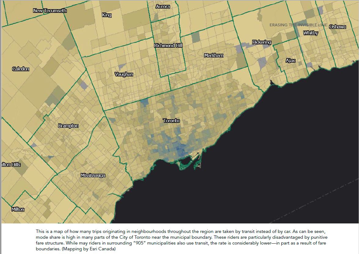
The report only focused on the GTHA as well as the Innovation Corridor out to Kitchener. But the idea can be extended to other areas like Simcoe or Niagara. Also, keep in mind the map from the report isn't the only map they released. The Toronto Region Board of Trade also released an interactive map and it's quite clear where the zone boundaries are located. This is where "Inner Toronto" meets "Outer Toronto".I feel like Burlington and Oakville should be in the same zone. They're both fairly small with similar demographics and built form (I think).
It would also be nice if this included southern Simcoe County (are we getting the short end of the stick?) and if it was clear where "Inner Toronto" meets "Outer Toronto".
Interactive Map: https://storymaps.arcgis.com/stories/4cff253fbab44ca19005d8a1ebe0013a
The Northern Boundary is at Eglinton Ave. Since Line 5 runs on Eglinton, the line would be located in Zone B so that passengers from other zones won't have to pay another fare for Zone A in order to transfer to Line 5. The Eastern boundary borders Scarborough and the Western boundary borders Etobicoke. Zone A is mostly contained within the Old City of Toronto as well as most of York, East York, and a small part of North York.
Last edited:


