News   Jan 10, 2025
 2.3K     7 
News   Jan 10, 2025
 1.6K     1 
News   Jan 10, 2025
 653     0 

GO Transit: Construction Projects (Metrolinx, various)

Update on the Don Valley Layover.


Key passage from the report:

Summary

To achieve service-level targets that support Metrolinx's GO Expansion Program ("GOE Program"), track improvements, infrastructure modifications and new facilities are planned across the rail network. On-Corridor ("OnCorr"), the GOE Program's largest package of work, is focused on corridor electrification and includes any outstanding infrastructure not constructed as part of earlier work packages, such as new track, facilities and a number of grade separations throughout the rail network. The Don Valley Layover Facility ("Facility") is one of three new layover facilities planned through the Metrolinx GOE Program's OnCorr package of work.

Metrolinx plans to locate the Facility north of the Prince Edward Viaduct at Bloor Street East, between the Don Valley Parkway and Lower Don Trail, along the Don Branch Rail Corridor (currently not operational), and within Toronto's park network with a variety of informal names, including Lower Don Parklands, Don River Valley Park, or "Wonscotonach Parklands". Through stakeholder engagement and outreach, the name Wonscotonach Parklands has emerged as a potential official name that could be used moving forward. Wonscotonach is understood to be the Anishinaabe place name for the Don River and likely translates to "burning bright point".

Metrolinx has noted it requires a new Facility at this particular location to reduce the congestion currently experienced at Union Station and to provide a location for storage and light maintenance of trains during day-time off-peak periods. Earlier designs identified a three-track electrified facility south of the Bloor Viaduct within a City of Toronto-designated Environmentally Sensitive Area (ESA). However, following significant feedback from the City of Toronto, Toronto and Region Conservation Authority (TRCA), and local stakeholders, Metrolinx proposed several modifications to the Facility to minimize the impacts on Toronto's park network.

The purpose of this joint staff report is to respond to direction from EX29.3 Update on the Metrolinx GO Expansion Program – First Quarter 20221considered by City Council. To begin, this report will provide an update on the current proposal for Metrolinx's Facility, including the size and location of the land needed, including City-owned land, and details on any land-use changes since the last report on this matter. This report will subsequently detail the Facility's anticipated impacts to Toronto's park network and will provide updates on Wonscotonach Parklands consultations to date.

Current Status & Next Steps

In early fall 2021, Metrolinx initiated a procurement process for a technical advisor (TA) to undertake engineering services that will advance the Facility's design. The Request to Qualify and Quote (RQQ) was subsequently published on December 17, 2021, providing a brief scope overview and details concerning associated project components. Metrolinx has advised City staff that a detailed scope of work, as well as the Facility's design, footprint and configuration will be further advanced, clarified and confirmed by the TA, who is anticipated to begin work in mid-2022.

At present, there is no further information on the total footprint or proposed configuration of the Facility as previously reported to City Council. As Metrolinx proceeds with refining the Facility's design and requirements in consultation with the TA, the property requirements and overall impacts may be adjusted.

In late 2021, Metrolinx also initiated work to inform studies that will further evaluate and consider the impacts of the Facility on the Lower Don Valley, including heritage impact assessments of heritage features in the area, such as the Prince Edward Viaduct. In early 2022, work including biological assessments of the habitat features in the adjacent area; arborist evaluations of trees in the vicinity of the proposed layover; and, engineering analyses of the current infrastructure began to further inform Metrolinx's studies. At present, City staff have not received a tree inventory and/or arborist report; therefore the full scope of tree and vegetation impacts are currently unknown. These reports are required to allow City and TRCA staff the opportunity to assess impacts to the ravine area as a whole. Lastly, Metrolinx has proposed to also undertake a planning study to examine the infrastructure requirements in the Don Valley, which is also anticipated to take into consideration community inquiries with respect to trail creation (e.g. East Toronto Railpath).

Metrolinx has committed to continued community and stakeholder engagement through this refinement of project requirements stage, and through to detailed design and construction. Metrolinx has also communicated that it will continue to address stakeholder comments with the aim to further minimize impacts and enhance the ecological function of the Don Valley. In addition, as part of the EPR process, Metrolinx Metrolinx's Proposed Don Valley Layover Facility and the Wonscotonach Parklands Page 10 of 19 documented Indigenous Communities Consultation10 and has also committed to undertake additional community and stakeholder engagement as detailed design progresses.

City staff are committed to providing updates on the Facility as it develops through future reports on the Metrolinx GOE Program.
 
^ I read it to say that ML have been modifying the exact specs as people comment, but the one thing that hasn't changed is that they fundamentally feel that this is the only viable location. And may have the trump card in the legal sense. It's now up to Council whether to make a further issue of it.

Personally, while I don't like the facility being there at all, if it has to be there, the thing I would push for is to "camouflage" the buildings to the best extent possible, especially in terms of the view from the Viaduct. I wonder if a green roof would be sufficient to at least tone the buildings down. The renders by design make the buildings stand out, but maybe if coloured different and with plantings, they could at least blend in better.

Hiding three GO trains, of course, is a bit more problemmatic.

- Paul
 
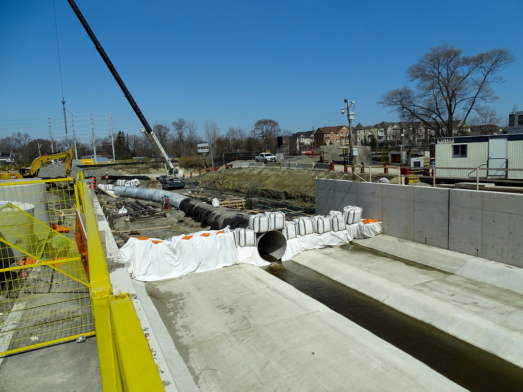
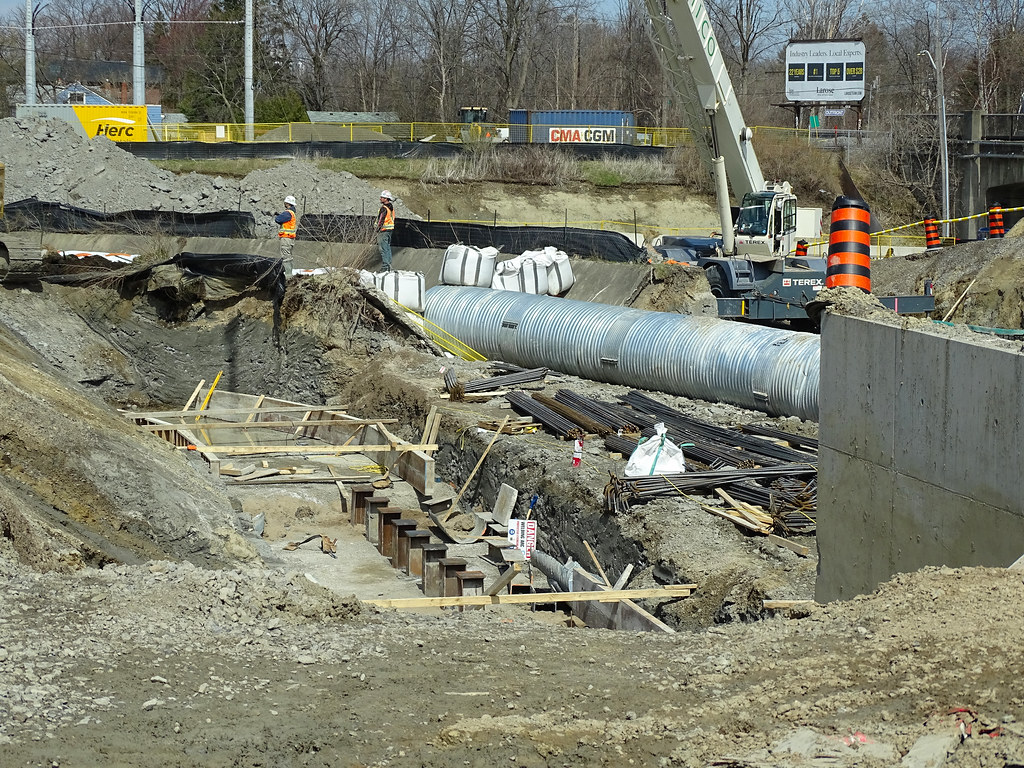
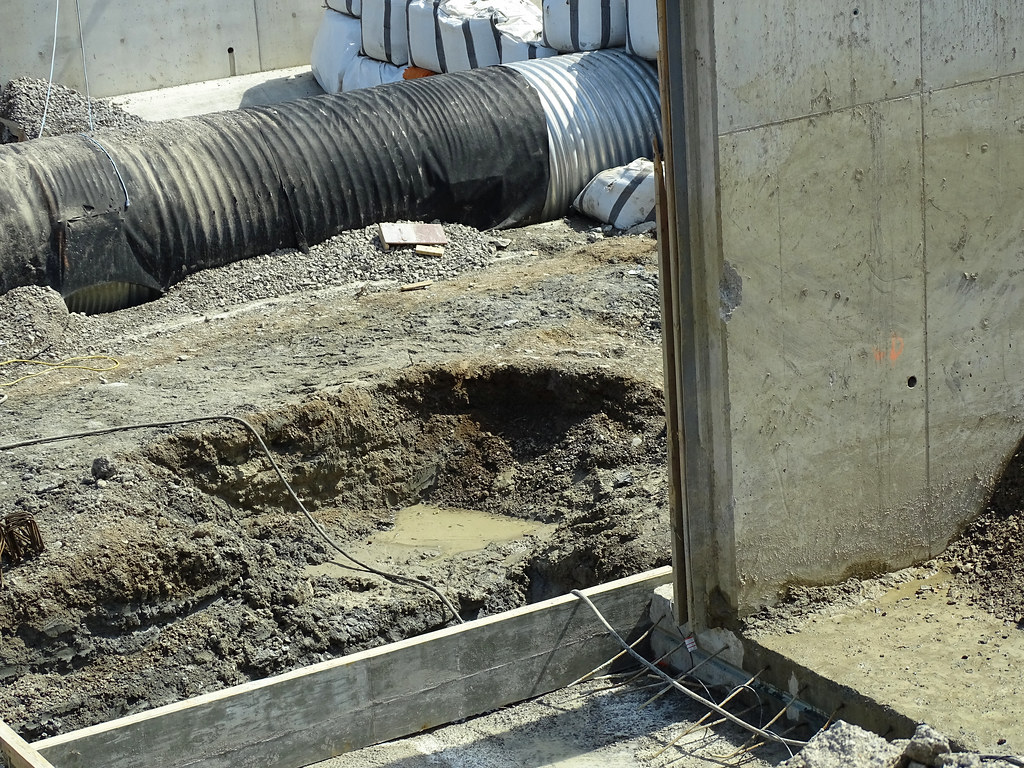
Any ideas what is happening in Georgetown at this location? The gravel wasn't there before...

DSC_0058.JPG
DSC_0059.JPG
DSC_0060.JPG
 
Includes one bridge rendering.

is this actual on-corr construction? i was under the impression 2x tracking all of the barrie line was the responsibility of the oncorr package
 
is this actual on-corr construction? i was under the impression 2x tracking all of the barrie line was the responsibility of the oncorr package

The division of labour seems to be that ML will do the preparatory work eg vegetation clearing, sound walls, grading, grade separation, retaining walls, and roadbed.... and then Oncorr will arrive to lay the trackage and install and commission the signals and (hopefully) OCS.

Sounds like ML may also be proceeding to lay the track from Rutherford station to just north of Maple station. That may be an "exception" to move things along faster than the Oncorr procurement will permit. Similarly starting the station upgrades now will save time (look at the time needed for Milliken and Agincourt, for instance.)

That division of labour makes sense because a) ML's share is basic civil work that can be done through local contractors without specialised rail expertise, and b) it keeps Oncorr out of the controversial part of the project ie relations with communities, trackside neighbours, as well as environmental and land regulation and impacts.

PS - if all the work in that notice is completed, and once Davenport is done, ML will basically have a 2-track roadbed from Bloor to Aurora, and double track from Parkdale to St Clair and from Steeles to Maple. That is huge progress. But let's not forget the Davenport EA condition that limits frequency of diesel trains.... this line really neads electrification to grow further.

- Paul
 
Last edited:
April 22
Foundation being place for the walls going east with steel beam shoring in place for the east driveway bridge over the Port Credit Mary Fix Creek.

The north side parking lot will become the main parking lot now plans are calling for no GO parking for the new 40s + 42s towers on the current site that will only see 474 parking spots for 1139 units plus office and retail use.

The plan calls for a roof over the creek to support the LRT.
52023260709_8df322eb95_b.jpg

52023525285_81e73750df_b.jpg

52021974012_011d20c124_b.jpg

52023260114_4027ee23cc_b.jpg

52021973607_f0de54986a_b.jpg

52023524605_8edf23d7ce_b.jpg
 
Took the GO Train from Union to Danforth last night on my way home.......

Passed by the Small's Creek area.........

I have to say........the ravine is trashed on the north side.............its really bad.

They completely obliterated the south wall (trackside) of the ravine; and that is worse than what Mx stated they were going to do.
If my property backed on this, I would be very upset.

The ravine was imperfect (lots of invasive species, small, divided); but it was a special and pretty place..........
It will take at least 2 generations to recover from what's been done.

At any rate, I couldn't get any pics from the train, but went looking for the neighbourhood FB group, and found a video which I will credit, and extracted a couple of stills.

1650722895492.png


1650723150773.png


Overhead:

1650723201567.png


The Before shots:

1650723051572.png


1650723107672.png


All photos above are extracted from this video:


Credit: Christopher Terry, plus Alli Neuhauser for the drone footage
 
Drum, do you mean the northern parking lot is being redeveloped?
Yes because of the Mary Fix Creek expansion and the LRT.

There will be a row or 2 of less parking than before once construction is done.

Once the work is done, 2 rows of parking will return to the south side of the creek as well a driveway and walkway,

Wouldn't be surprise to see a parking deck built there in phases down the road.

At the end of the day, there will be less parking spots at PC than before construction and the selling of the south parking lot.

They could build a small parking structure for the west end lot.

I know from my time on the MoE roundtable that parking at GO stations needed to be reduced on many levels and was approved to do so as a recommendation, but shot down at cabinet level.

Lots of bitching by the ward councilors and NIMBY folks for the lost of space with the sell of the parking lot.

The plan back in 2014/15 was to see a parking structure on the south side of 4-8 story with 8-22 story towers on it. Metrolinx wanted to start building the structure by 2017/18 with the city opposing the structure 100%.
 
Includes one bridge rendering.


I have to admit I jumped on the bandwagon on this one not because I had seen it with my own eyes, but because I had seen lots of construction activity further south of Rutherford and some stretches of that territory are starting to shape up as double trackable zones.

When ML's article stated
As part of the project, second tracks are being added between Rutherford Road and McNaughton Side Road on the Barrie Line, and work is underway to prepare other portions of the line to receive a second track.
I assumed that this meant the civil work through this stretch was getting done and track laying was actually about to begin. Making this stretch a priority made intuitive sense because it connects the existing double track (a siding) between Teston and Kirby with the double track south of Rutherford station.

As it happens I drove the Rutherford-McNaughton stretch this morning, and found.... nothing. Only the barest signs that a contractor was beginning to access the zone to do site prep, mostly cutting down trees. Absolutely no grading or laying of subgrade material. Not even much progress on replacing the older wood sound fencing which is already beginning to fall down in places. It's one of the furthest-behind sections of the locations where double track is being prepped on the Newmarket Sub.

As we have seen on the Stouffville line, doubling the station platforms is one of the longer lead time activities, because of the need to create tunnels and accessible lifts to cross under the two tracks. Without the platform completion, having track laid is of no consequence. So, one would really expect the station work to go first. From the Stouffville precedent, we would expect that alone to take 2-3 years at Maple. As the article indicates, that's only starting.

We are all accustomed to ML's declaring victory about things that haven't even started happening yet. I question if this article is phrased, um, accurately. Work may be starting, but nothing is really very far along. Or perhaps I read too much into the story.

- Paul
20220423 GO Rutherford a.jpg
20220423 GO Rutherford b.jpg
20220423 GO Rutherford c.jpg
 
Took the GO Train from Union to Danforth last night on my way home.......

Passed by the Small's Creek area.........

I have to say........the ravine is trashed on the north side.............its really bad.

They completely obliterated the south wall (trackside) of the ravine; and that is worse than what Mx stated they were going to do.
If my property backed on this, I would be very upset.

The ravine was imperfect (lots of invasive species, small, divided); but it was a special and pretty place..........
It will take at least 2 generations to recover from what's been done.

At any rate, I couldn't get any pics from the train, but went looking for the neighbourhood FB group, and found a video which I will credit, and extracted a couple of stills.

I have been meaning to get out to see the site with my own eyes - I see it frequently from the train, but have never visited down below. Your post got me moving today.

Without question, this small area is a treasure and ought to have been approached with the utmost of sensitivity in its design from the very beginning. This is not the inside of a cloverleaf ramp.

I haven't seen any good drawings, but I stood and tried to imagine how the design will alter what's left of that slope. Assuming that the fourth track is best built on the north side, one has to imagine the top third of the grade will be filled in just to get the additional width. The letter from Verster to the community stated that there will be a slope downwards from grade and only further down the slope will the vertical retaining wall begin. To my eye that would place the retaining wall right about where all those tree stumps are. Even if it's above the tree stumps, the removal of those trees was likely necessary to work upwards from the "road".

It's a very confined space, and I have to say I suspect that the approach ML has landed on is likely the least intrusive overall. As a non-expert about plants, I'd be looking for some fast-sprreading ivy to cover up whatever concrete ends up there.

Definitely one of the more ironic shots I have ever taken.

- Paul

20220423 Smalls Creek b.jpg
20220423 Smalls Creek Non Protection Zone.jpg
 
Weren’t pedestrian tunnels installed at Maple GO a few years ago and are sitting unused? That saves a ton of time for the platform construction.

All the article is saying is that construction has started. I’m not sure why it’s a surprise that it looks like construction is, well, just starting. That’s exactly what the article is saying.
 

Back
Top