


RC8
Senior Member
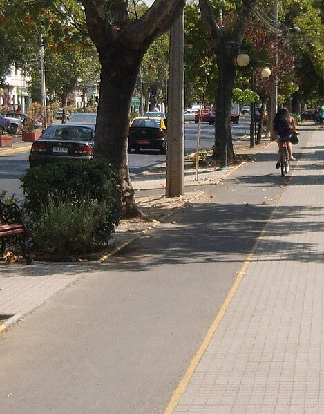
It definitely won't be optimally convenient, but it will be far from impossible. In other countries they sometimes have bidirectional cyclepaths of a similar width:
I'd be surprised if this is a major issue. The bike lanes on College and Beverly are entirely within the door zone and people still ride in them happily. Why can't you go into the door zone to pass a fellow cyclist? Perhaps signal with your bell so that he/she can move to the right?
I definitely agree that more space would be better, but I don't think this is a massive flaw in terms of utility cycling.


