News   Apr 26, 2024
 2.3K     4 
News   Apr 26, 2024
 555     0 
News   Apr 26, 2024
 1.2K     1 

Waterfront Transit Reset Phase 1 Study

How should Toronto connect the East and West arms of the planned waterfront transit with downtown?

  • Expand the existing Union loop

    Votes: 200 73.3%
  • Build a Western terminus

    Votes: 10 3.7%
  • Route service along Queen's Quay with pedestrian/cycle/bus connection to Union

    Votes: 28 10.3%
  • Connect using existing Queen's Quay/Union Loop and via King Street

    Votes: 19 7.0%
  • Other

    Votes: 16 5.9%

  • Total voters
    273
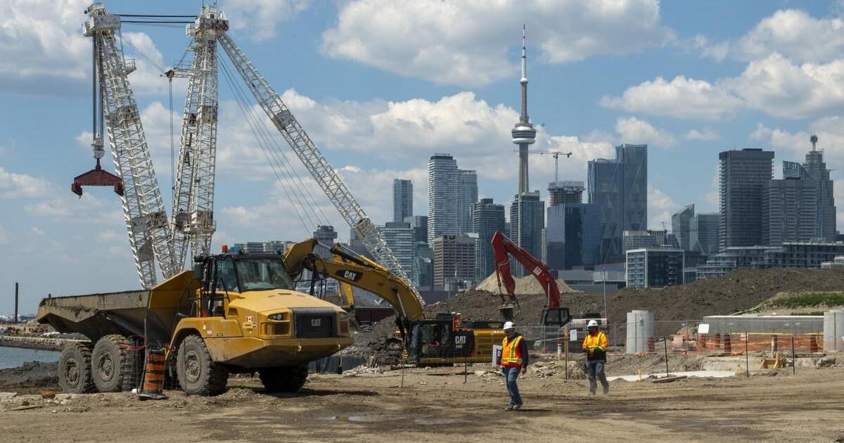
I read Steve Munro's post, and more than a project off the rails, it put me in mind of a civilization in collapse. In 2007 it was supposed to cost half a billion and take 4 years to build. After 15 years of progress it hasn't been started and will now cost five times as much and take nearly 3 times as long. Longer than REM, both phases of the Ottawa system, longer than the Chunnel I think. And there's still no funding plan. It. Is. A. Three. Kilometer. Streetcar.

I do love a civilization collapse, but to be fair, this is what Steve Munro says:
  1. Union Station Loop, $932 million.
  2. Remainder of project except Cherry North, $1.3 billion. Includes East and West portals on Queens Quay, Queens Quay Station, Yonge Slip infill, Queens Quay East track from Bay to Cherry, Cherry Street south, Commissioners Street and Villiers Loop.
  3. Cherry North connection to Distillery District, $337 million, to be completed as a separate future phase.
By my rough estimate, portion #2 is about 3.5km and includes the Yonge Slip infill, so I don't think it's a total financial disaster.

For the record, I've always thought the Union Station Loop was bad value for money ($932 million for a 500m tunnel) and I agree it should be put off.

I'd prefer to see Cherry North get done as part of the first phase.
 
I'm starting to think we should cost abandoning the Union loop and rebuilding as a through running tunnel that surface On Bay Street somewhere south of King.
 
I'm starting to think we should cost abandoning the Union loop and rebuilding as a through running tunnel that surface On Bay Street somewhere south of King.
You would need to get that tunnel deep enough to pass underneath Union subway station somehow. It's not cheaper than expanding the loop at the current elevation

1699027173839.png
 
.. honestly just close/king-ize Bay St to Cars, run the streetcar on surface on that. Then convert York and Simcoe to one way streets to handle the traffic. Possibly also need to flip wellington one way direction to allow for traffic to get from simcoe to university. Would it get messy ? Prolly .. however we gain a valuable North-South dedicate streetcar line.
 
As I commented under Steve’s post, albeit that he does not concur, I think we should put the Church-Cooper extension route listed in the Lower Yonge Precinct Plan on the table (extend track down from Church/Wellington to Queens Quay and then turn east).

Yes, it’s not as connective as running into Union, but based on the project slides disclosed the current plan will result in multi-years (and given the record of local transit projects, probably most of the way to a decade) of total inaccessibility of Union to all services. It doesn’t foreclose the other projects proceeding when funds allow or eventual routing of East Bayfront streetcars there, and provides somewhere to go for diversion traffic in the future during one of the many, many times the Bay tunnel is blocked by a drunk driver or floods or whatever.

So -
infill Parliament slip, build QQE track, Church Cooper link, begin East Bayfront service. Build Cherry Portal as soon as Cherry Tower is decommissioned and deconstructed.

Then build the delta at QQ/Bay, and the portal near the Westin HC. This will chop back 509/510 for a while. Start the Union loop work

Once the delta open run 509 up Cooper and keep 510 running east to the Portlands - continue and finish the Bay Tunnel/Union Loop

There is no way to fully avoid losing service east of Spadina Loop but this eases the impact, avoids a land taking along the Quayfront to build a turnback loop (as once proposed at the foot of Parliament), and provides another route to get cars into/out of service given we aren’t going to see Commissioners-Leslie Barns before the 2040s it seems
 
So -
infill Parliament slip, build QQE track, Church Cooper link, begin East Bayfront service. Build Cherry Portal as soon as Cherry Tower is decommissioned and deconstructed.

Does the Church-Cooper link require a tunnel under the Gardiner and the rail tracks?

Church and Cooper are not connected at present.
 
Does the Church-Cooper link require a tunnel under the Gardiner and the rail tracks?

Church and Cooper are not connected at present.
Indeed it does, PLUS it means excavating below the large Green P garage at the current south end of Church. I think it cannot really happen until the GreenP (and the Community Housing above) are redeveloped. I would not be holding my breath.
 
Does the Church-Cooper link require a tunnel under the Gardiner and the rail tracks?

Church and Cooper are not connected at present.
Gonna be pedantic and say that technically you don't need to tunnel under the Gardiner as it's quite elevated. However, back when I first heard about this connection (2-3 years ago) I took a walk along Lakeshore and it appeared as if one of the bents would've in the path of the the future road.

Additionally, there are Gardiner ramps in the area that need to be navigated through. The WB on and off ramps are high enough that they might just need an open trench to get under and the EB off ramp is just at grade so it would need to be integrated into the intersection.
 
Hope that I got this correct but at the WT update last night it was mentioned that when the Parliament Slip is filled in and the roadway is built it will be built according to the DTAH West 8 plan. So lrt ROW, trees on both sides of QQE and a wide sidewalk on the south side from Parliament to Cherry.
 
Hope that I got this correct but at the WT update last night it was mentioned that when the Parliament Slip is filled in and the roadway is built it will be built according to the DTAH West 8 plan. So lrt ROW, trees on both sides of QQE and a wide sidewalk on the south side from Parliament to Cherry.
That is what I have heard too.
 

Back
Top