Lone Primate
Active Member
Does this help? - 1931 Topographic map - Bayview & Lawrence at the top. I would say the answer is b) wandered along to the west around the land form to get back up to the top
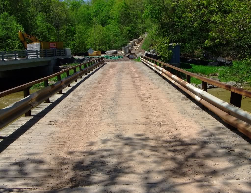
When was the 'new' bridge built? - this map seems to show both the route over and the route through the valley.
Note that further south Bayview also took a less direct route over Burke Brook.
The new bridge was built in 1929, as I understand it, so the map postdates it by just a couple of years. However, it does seem to suggest something I've suspected for a while, that Bayview veered to the west to climb out of the valley rather than taking a direct, Roman road-straight shot up the other side. I'm inclined to credit that now, though not 100%. Maps, in my experience, are often apocryphal or even wish lists of road features that fool people in the future into believing things that were never so.


