Ervin
Active Member
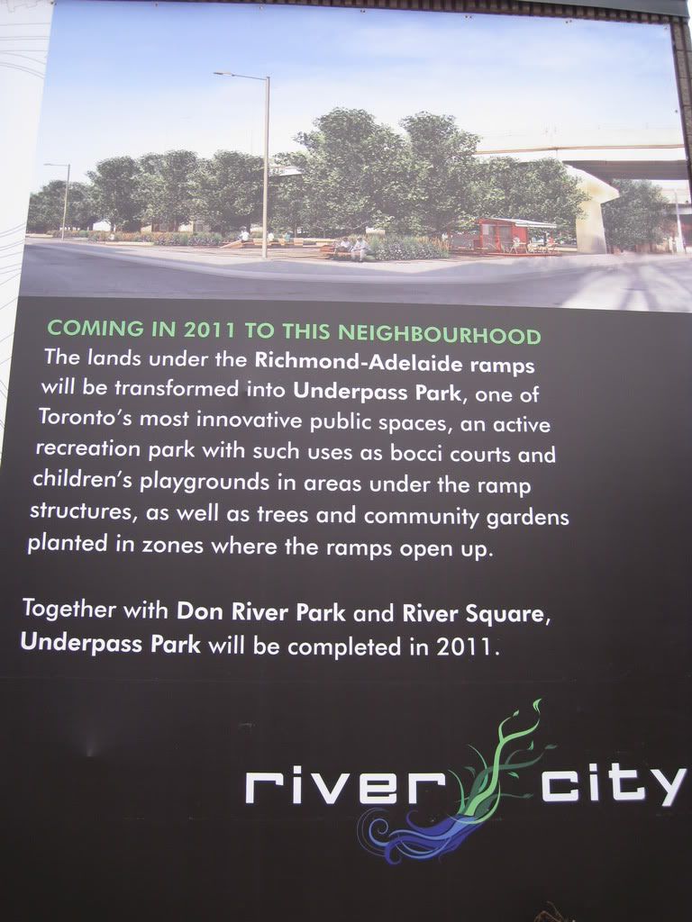
The highway is the least of problems IMO. The biggest issue to me seems to be the fact that the place is completely surrounded by streets, so it's a bit of an odd location for a park.
http://news.waterfrontoronto.ca/wp-content/uploads/2010/03/UnderpassPark_Context-Map.jpg
Thx for this. A couple of things stand out from the 'context map' that I'd failed to register before -- the Athletes' Village buildings will include the vacant lots west of Cherry, north of the two condos on the north side of Mill. That takes another huge chunk of derelict land out of the area -- very good news! And the TCHC buildings are sited -- just west of RiverCity, fronting on King. That's actually where I'd imagined RiverCity to be when I was looking at the maps after walking over to the sales centre. My bad. There's more space there than I thought, but it also means RiverCity is a LOT closer to the train tracks -- the Phase 2 people will have to think long and hard about that!
I feel the same way. I mean cars don't fly off the highway very often, but it has happened, and I just can't see myself hanging out under a highway.
The highway is the least of problems IMO. The biggest issue to me seems to be the fact that the place is completely surrounded by streets, so it's a bit of an odd location for a park.


They need to add lots of lights underneath the bridge as well. My worry is that this might attract hooligans and druggies.
I'll probably sell you some drugs there when it's completed.