UtakataNoAnnex
Senior Member
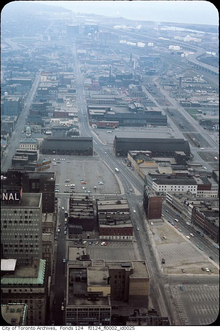
Thankfully they've nearly obliterated all that surface parking lot heaven that replaced that.
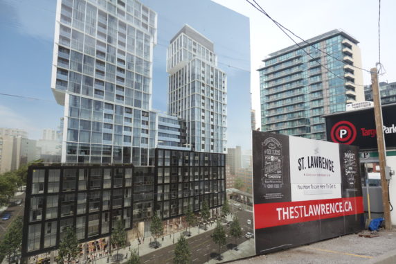
Yeah, it's approx. 40 storys up right now, 30 to goRising quick!
Yeah, it's approx. 40 storys up right now, 30 to go
Wow, that @AG guy uses the word "approx." and he gets away with weird addition Scot-free…Yeah, it's approx. 40 storys up right now, 30 to go
…no, wait line umpire @ushahid has called that "out."i thought it was 65s. 40+30=70s ?
I think the smokestack must be on the west side of Berkeley St?Excellent post.
A couple of questions and observations based on the pics above:
1) I having trouble placing this building w/the smokestack, its well east of Jarvis, south of Front, not sure if its east of Sherbourne. Anyone have thoughts?
There were knitting mills down there
3) Look at the size of the rail yard along the south side of the Esplanade. Its truly difficult to comprehend how much of DT was railway. West of Union many of us remember, The CN tower essentially surrounded by tracks.
 torontoguardian.com