mdrejhon
Senior Member
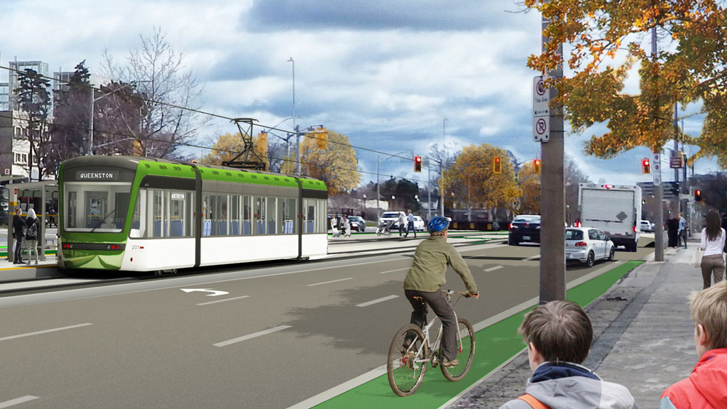
Way too late, by over a decade.Why not just run the entire LRT along Main st. and be rid of the two 90 degree turns? Or is it too late for that?
They made the definitive Main-vs-King decision in year 2011.
Hamilton 2011 B-Line Light Rail Transit (LRT) Environmental Project Report (EPR)
While the original document is no longer extant on Metrolinx's site, scattered references to it exist in Hamilton's city website
Link: https://pub-hamilton.escribemeetings.com/filestream.ashx?DocumentId=125166
Even after the LRT was cancelled and then resurrected, it still largely follows the 2011 plan!
...They did the Main Street studies a long ago, and the transit ROI was much better on King for many reasons (closer to downtown, Barton Street, Jackson Square, Tim's Field, and other factors). By running closer to the middle axis of Lower City, it brings more residents from major streets within walking distance of the LRT.
However, I also dislike the addition of two 90-degree turns. One way to make it worth it, is routing it down the west edge of an expanded Dundurn corridorwidth (between Main and King) by expropriating part of the mall parking lot, in a "public good benefitting" quid-pro-quo for letting the Dundurn Mall developers integrate the LRT stop directly into a future Dundurn Transit Hub plan. (See above post)
Last edited: