Squeezing the Railway Corridors
By Isidoros Kyrlangitses
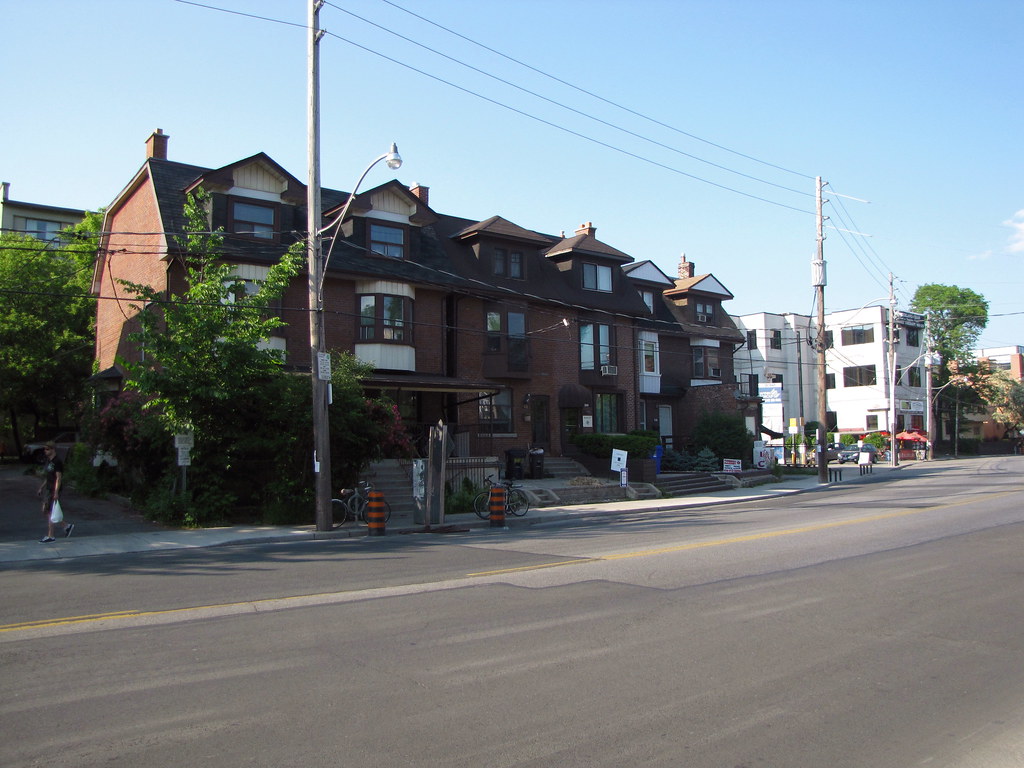
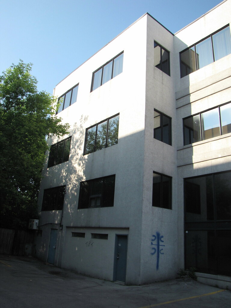
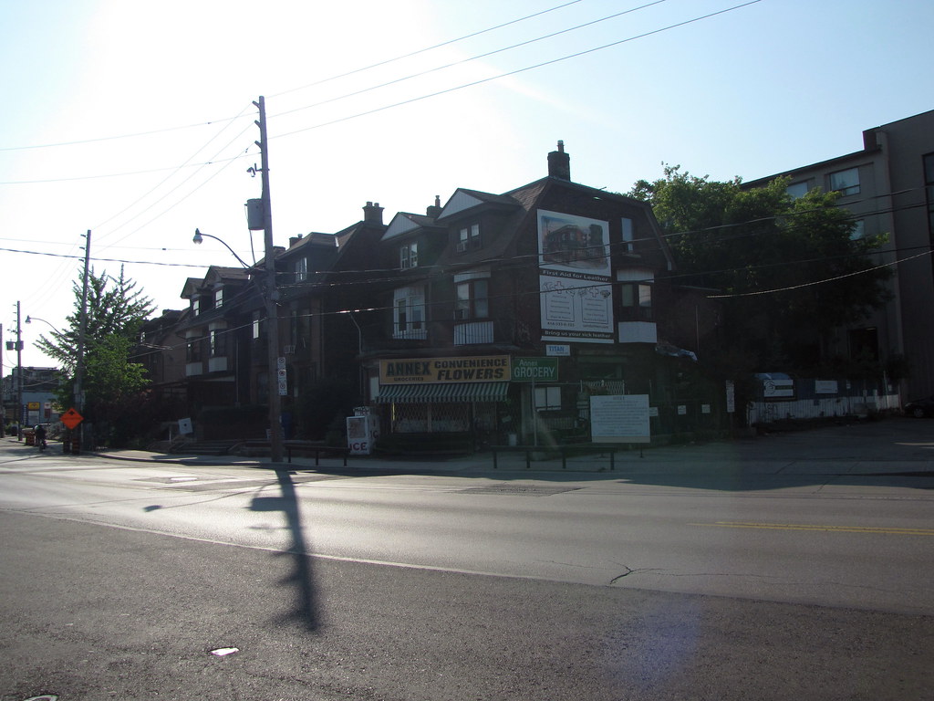
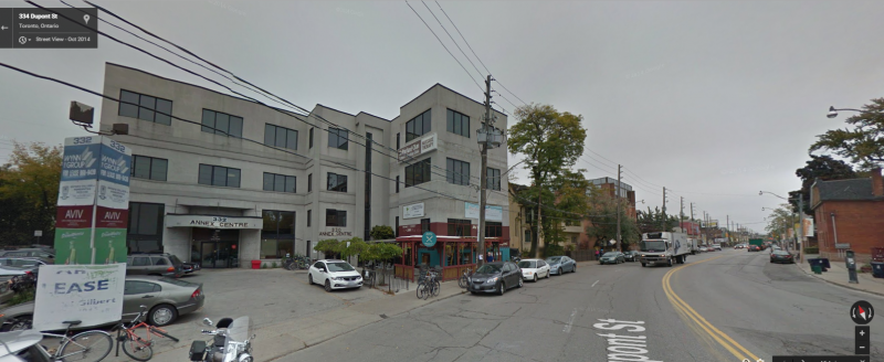
A high-rise complex is in the works for the Annex a few blocks west of Dupont station. The community recently gathered to learn more of the request to amend the official plan for several lots along Dupont. The proposal to change the designation from “an employment area” to one of “mixed-use”, got drowned out by the usual concerns for height, density, and intensification. The community’s discussion with city staff and the developer’s representatives sought details that were yet to be finalized. The meeting’s conversations seemed to miss what was at stake. By amending the official plan from “an employment area” that acts as a buffer for the neighbouring CP railway to “mixed-use”, the city is limiting the potential of the transportation corridor.
The developer argued that the block in question already had mixed usage of residential, commercial, and industrial. Changing the designation on the official plan would reflect the reality of the block. The city is often reluctant to change an employment area’s designation, because often the economics behind residential development crowds out the land-use diversity of a given area. The “mixed-use” designation offers the compromise of setting a minimum proportion of the development that must be commercial, while formally allowing residential units to be built on the site. The community had concerns for the details of what was to be built, but no one argued that the lots should not be designated “mixed-use”. After all, this was Jane Jacobs former community and who could argue with “mixed-use” of property.
A conceptual plan for the site was presented, but it avoided the specific details such as height or right-of-ways. Buildings of 29, 16, and 8 storeys were hinted at, but the heights are subject to change. The development surrounded several existing homes with concerns for access to lane-way parking and specifics on how their yards would be bordered.
The developer was aiming to increase density by 7 fold. Concerns were raised if there was adequate infrastructure, and as always parking to accommodate the density. The city felt the increased mixed-use density was in accordance with the with its Downtown Growth Plan. The site is at the northern edge of the area the Growth Plan encompasses.
The details of the development will be presented during the re-zoning process. The public will be able to address specific issues, and the developer will have a chance to negotiate and compromise with the community. But bringing specific site concerns to a request of changing designation on the Official Plan misses the big picture of why the designation existed in the first place.
The concerns stated by CPR hold a clue to what is at stake. CPR has 60 trains a day rolling through the neighbourhood. The new development proposes large towers adjacent to the railway. The residential units would be less than the 30m buffer required along railways. An “employment area” designation allows for that 30m buffer to be used by businesses, but discourages residential along the rail lines. Besides the obvious safety and nuisance concerns, the buffer offers potential for expanding the transportation corridor. Expropriating commercial and industrial land is easier than tearing down a condominium full of voters.
By changing the designation to “mixed use”, the city is surrendering any potential to expand that transportation corridor. Subway, commuter train, high-speed rail, maglev, or some unforeseen next best thing will be a difficult option along a transportation artery lined by condominium towers. Not that any transportation proposal existed for use of the transit corridor. No TTC, metrolinx, GO, or Via plans ever considered the railway corridor for expansion. Currently there is no reason outside of speculation to change the designation to “mixed-use” and allow for the intensification of the area.
The city’s objective is to intensify the area. Changing the designation to “mixed-use” is the first step. A Business Improvement Association is also being formed for the Dupont strip from Spadina to Bathurst. The objective is to fund a planning study to provide better direction on how to intensify. The proposed development is the first step to changing the area from a railway corridor to a hyper-dense neighbourhood that may find it worthwhile one day to cover up the rail lines with a park.


