News   May 06, 2024
 339     0 
News   May 06, 2024
 993     1 
News   May 03, 2024
 1.4K     1 

Morningside and Finch

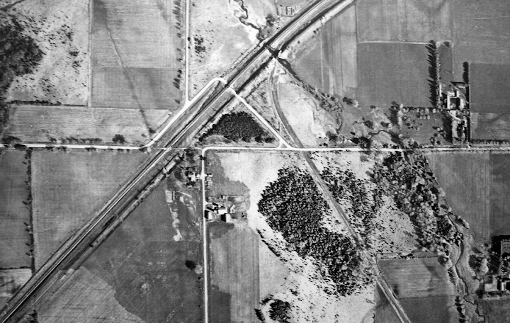
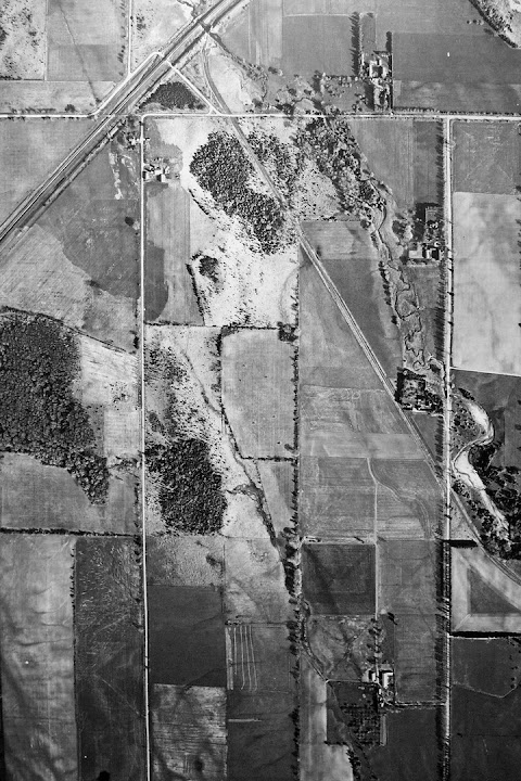
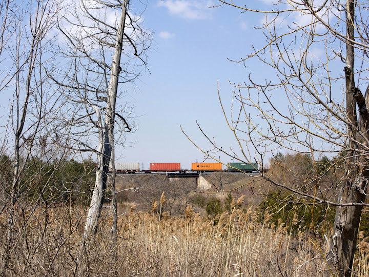
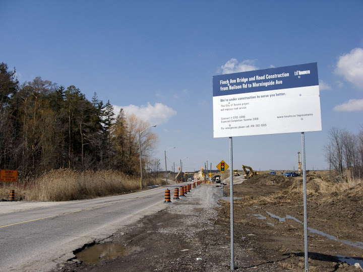
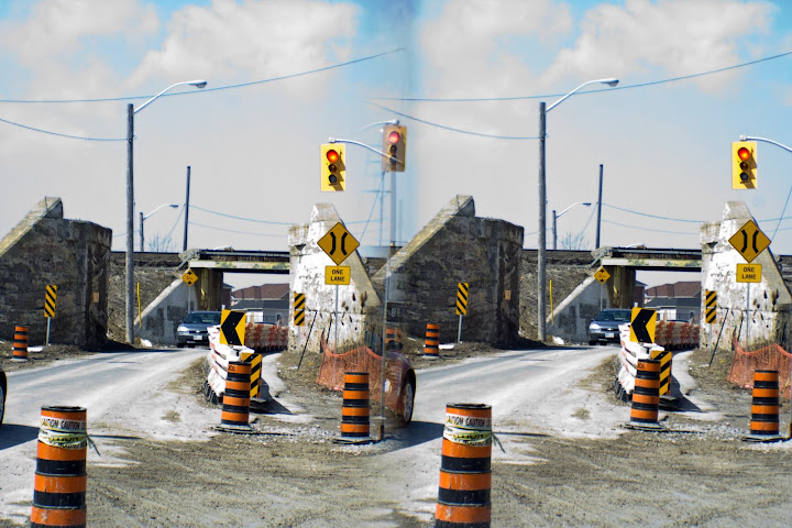
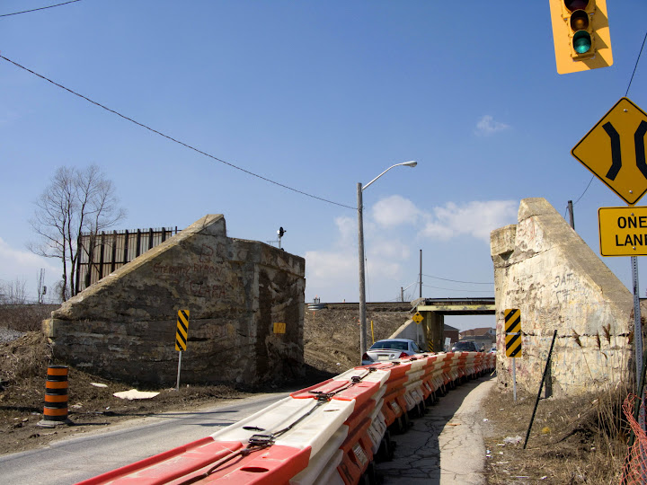
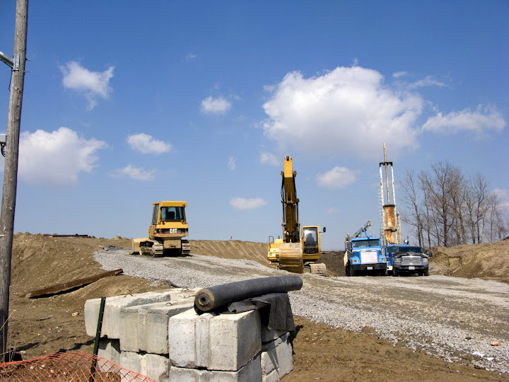
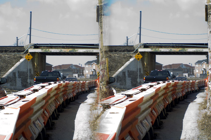
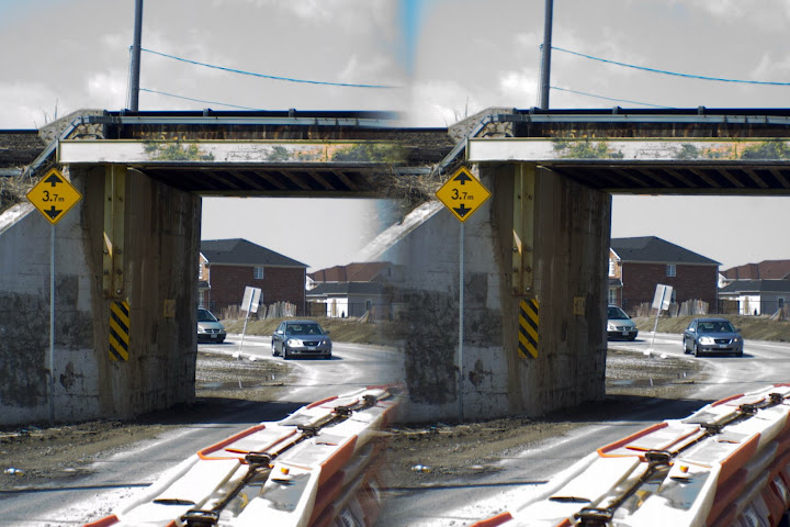
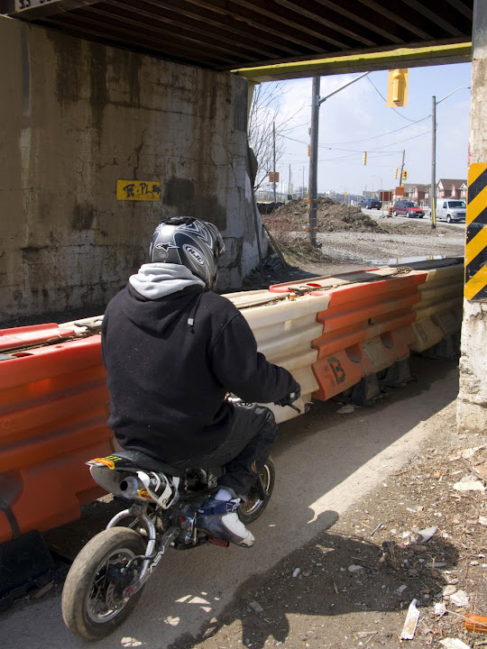
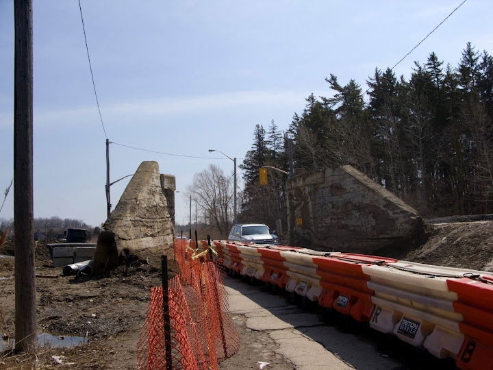
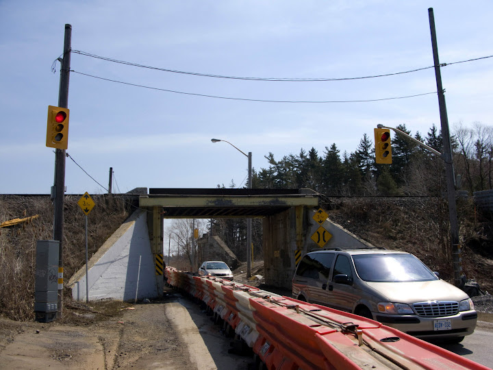
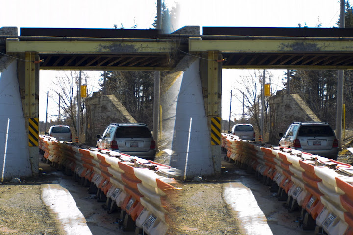
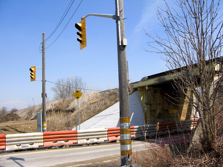
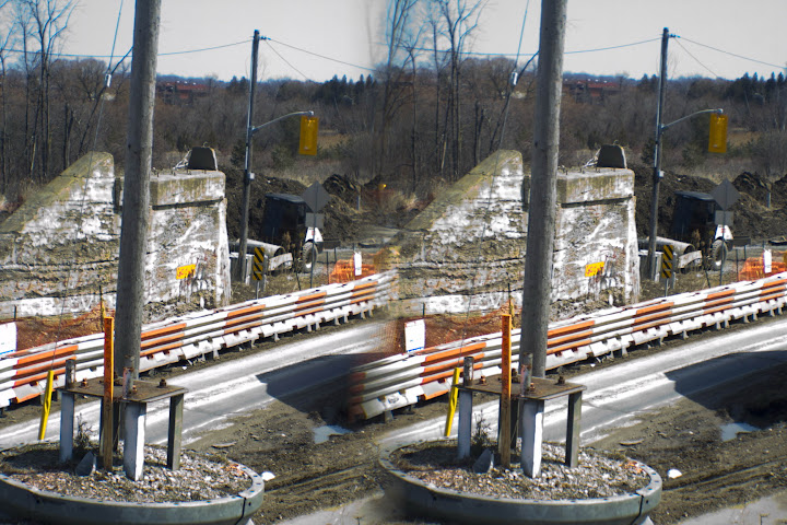
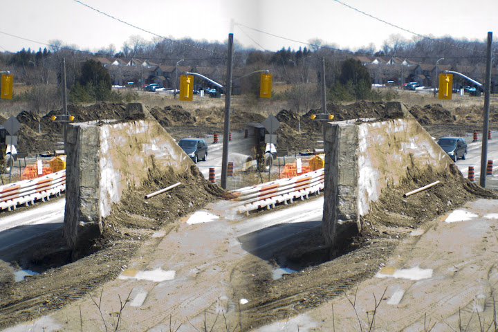
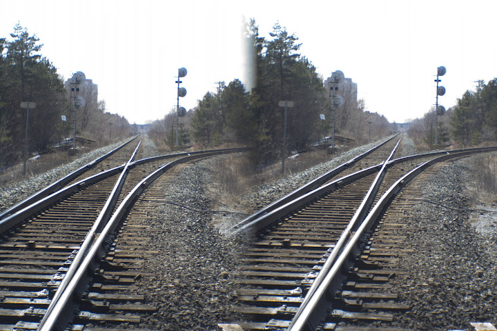
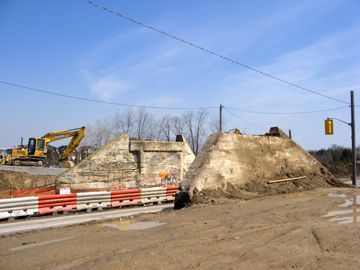
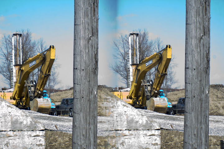
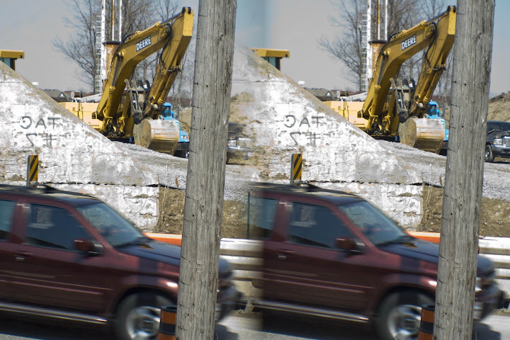
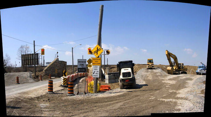
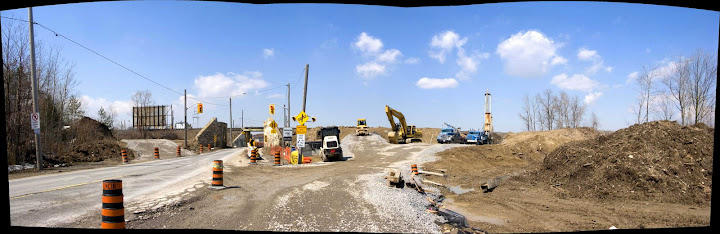
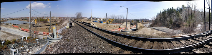
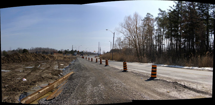
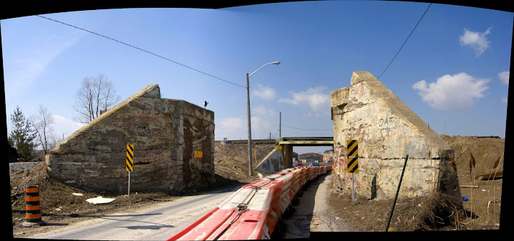
I was out there on the weekend and it's no proposal... they're ripping it down. The abutments of that old, vanished bridge just south of the current one are exposed like an old man's last two teeth, stripped of all the bermed earth that used to be behind them. It looks to me like there'll be a level crossing for a while as they build the new bridges. I saw something yesterday that suggests the city's been planning since about 2001 to build a bridge to the west to pass Finch under the line that now curves up to it and meets it at grade, and another one to pass under the CPR line a little east of the current pinch point bridge. That's also where they seem to be building the roughed-in level crossing. I'll try to post some shots this evening.
 
McCowan Road in Scarborough.

Oddly enough, that's another place I was looking over on the weekend. I've been meaning for four years now to check that out and see if there were any evidence that McCowan crossed Highland Creek (if that's the spot you're talking about). I used to think there was, but having been there, and having taken a second look at the aerial shots from 1960 and 1967 I copied a few years ago, i don't think they ever bothered. At least, they're no sign they did. Even the map I have from the 1950s shows a pronounced break a the creek. It's too bad. I would have liked to have found something there. There is, of course, a pedestrian bridge there, and there has been since at least the early 60s.
 
Here's what's going on at Finch and Morningside, April 2008... With some set-up from aerial shots from 1957. I think the most interesting thing is that Staines Road, running due south from Finch south of that elbow, has been completely and utterly erased from the road grid since then.

1957%20-%2038a.jpg

1957%20-%2038d.jpg

IMG_3559.jpg

IMG_3563.jpg

IMG_0726.jpg

IMG_3573.jpg

IMG_3579.jpg

IMG_0729.jpg

IMG_0731.jpg

IMG_3594.jpg

IMG_3595.jpg

IMG_3599.jpg

IMG_0734.jpg

IMG_3620.jpg

IMG_0740.jpg

IMG_0741.jpg

IMG_0743.jpg

IMG_3654.jpg

IMG_0760.jpg

IMG_0764.jpg

Level%20crossing%20in%20the%20works.jpg

The%20reorganization%20of%20the%20Finch-CPR%20bridge.jpg

CPR%20bridge%20over%20Finch%20Avenue.jpg

Looking%20south%20to%20Finch%20and%20Morningside.jpg

Old%20abutments%20on%20Finch.jpg
 
It looks like that's the end of the Canadian Northern abutments.

I'd have to agree. I can't imagine why they'd haul out all that earth from both sides unless they planned to remove them.
 
It looks like that's the end of the Canadian Northern abutments.

Neat the way the CNoR ROW followes the CP line. Hard to believe there was once three major railways in Canada. No wonder the CNoR went bankrupt. Too much track for too few people.
 

Back
Top