r937
Active Member
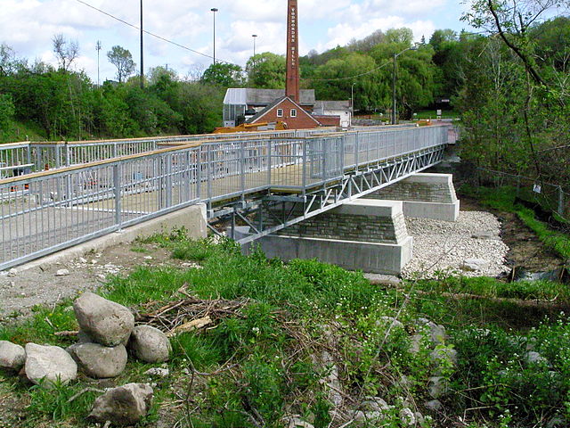
well spotted- I'm trying to map out where Bayview would be, and how the current construction for the Hydro project would demonstrate the remnants of Pottery Road North. If it runs up to the Loblaws/Drug Store parking lot, where is it demonstrated in this picture? It seems it runs west towards Bayview Heights, whereas my understanding is that the run along the north side of the main line went east.
in the 1942 aerial photo, pottery road does indeed run westwards from the CP tracks, up the hill to the end of (now) bayview heights
this was the "old old" portion of the top end, and it was replaced shortly afterwards (but well before the late 1950s when the bayview extension was constructed) with the section that runs northwards towards the loblaws (the "new old" section)
yes, the south end of pottery road used to empty out on hillside drive, pretty much where the charles sauriol parkette is today

if you walk to the back of the parkette, behind the trees and bushes in this picture, you can clearly see the old pottery road roadbed going down the hill
this portion was too steep so the road was diverted south to join broadview at mortimer instead


