Miss Sadie Thompson
New Member
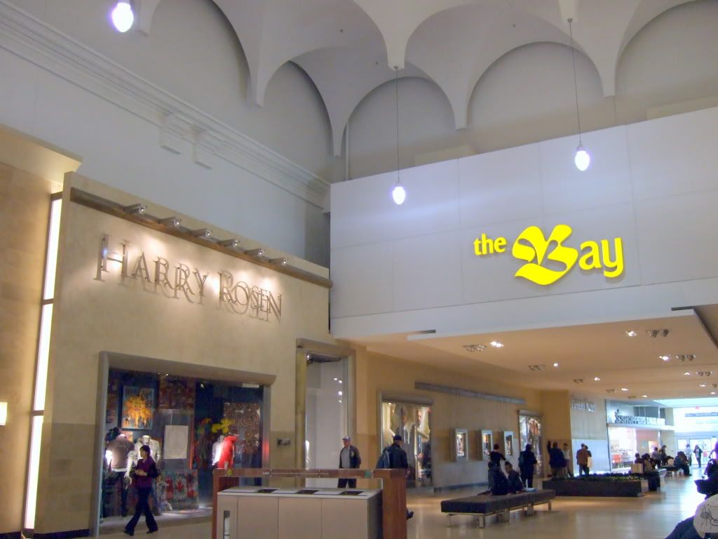
Yorkdale Mall.
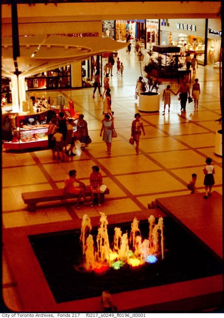
There is some sort of electricity saving thing going on.. those lights dangling from the ceiling are harsh.
Sorry for jumping around so much, but it's my first day here and even though I've been transfixed for hours (literally) I'm only at the 50th page or so.
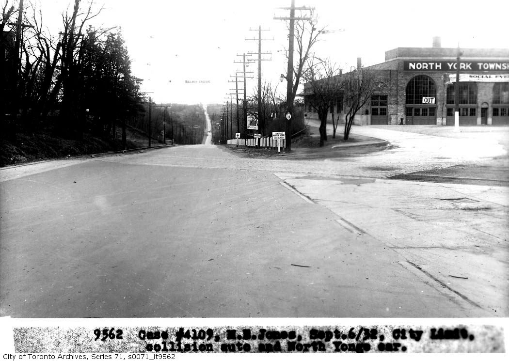
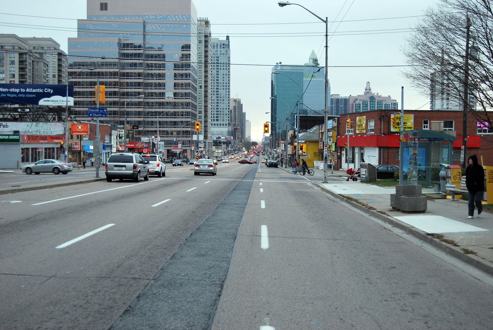
Yes, Nomorea, along Wilson was the most direct way. Catching a Weston Road bus southbound (which we took to go to the Mount Dennis - the closest movie theatre) would only take you so far and then you'd have to make several transfers to get anywhere near downtown (I guess you could eventually find your way to the Humber loop and take a Queen/King streetcar).
Once the (formerly) wonderful Yorkdale opened, we only went downtown at Christmas to see the Eaton's windows, skate at Nathan Phillips Square or, once we were teens, rollerskate at the Terrace and meet cute boys.
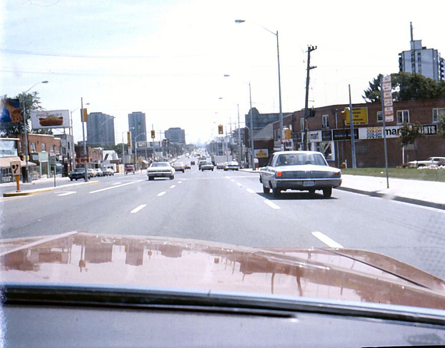
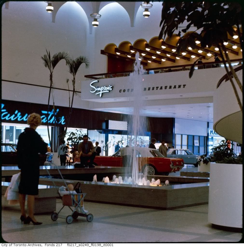
Ah, the Yorkdale of my teen years. Hop on the 93 Wilson bus to Dufferin and then a quick walk south. My girlfriends and I would meet up with our secret boyfriends at "the fountain" (pictured) and if they had money they'd take us to the Court Restaurant for cheesecake (or perhaps Diana Sweets).
The first McDonalds I'd ever been in was at the corner of Dufferin and Wilson and we'd run in and buy hot chocolate to drink while waiting in the shelter for the bus home. That McDonald's is gone now and I read somewhere it had been built on former oil tanker lands that hadn't had proper soil remediation.
There is some sort of electricity saving thing going on.. those lights dangling from the ceiling are harsh.
Sorry for jumping around so much, but it's my first day here and even though I've been transfixed for hours (literally) I'm only at the 50th page or so.
Yes, Nomorea, along Wilson was the most direct way. Catching a Weston Road bus southbound (which we took to go to the Mount Dennis - the closest movie theatre) would only take you so far and then you'd have to make several transfers to get anywhere near downtown (I guess you could eventually find your way to the Humber loop and take a Queen/King streetcar).
Once the (formerly) wonderful Yorkdale opened, we only went downtown at Christmas to see the Eaton's windows, skate at Nathan Phillips Square or, once we were teens, rollerskate at the Terrace and meet cute boys.
Ah, the Yorkdale of my teen years. Hop on the 93 Wilson bus to Dufferin and then a quick walk south. My girlfriends and I would meet up with our secret boyfriends at "the fountain" (pictured) and if they had money they'd take us to the Court Restaurant for cheesecake (or perhaps Diana Sweets).
The first McDonalds I'd ever been in was at the corner of Dufferin and Wilson and we'd run in and buy hot chocolate to drink while waiting in the shelter for the bus home. That McDonald's is gone now and I read somewhere it had been built on former oil tanker lands that hadn't had proper soil remediation.