Long Island Mike
Senior Member
Everyone: As promised I looked at all the interesting pics posted here-too much to comment about everything but I took note of these:
2/1 Mo-Tage - Gardiner looking E towards the CN Tower under construction - 1975 perhaps? Quite a difference today!
2/5 Mustapha - Yonge and Church - Quite a difference!
2/4 Anna - North York Pics - 1959 vintage plates on those cars in that third pic...
2/6 Charioteer: Nice airviews,maps and pics - all especially that 50s era stuff!
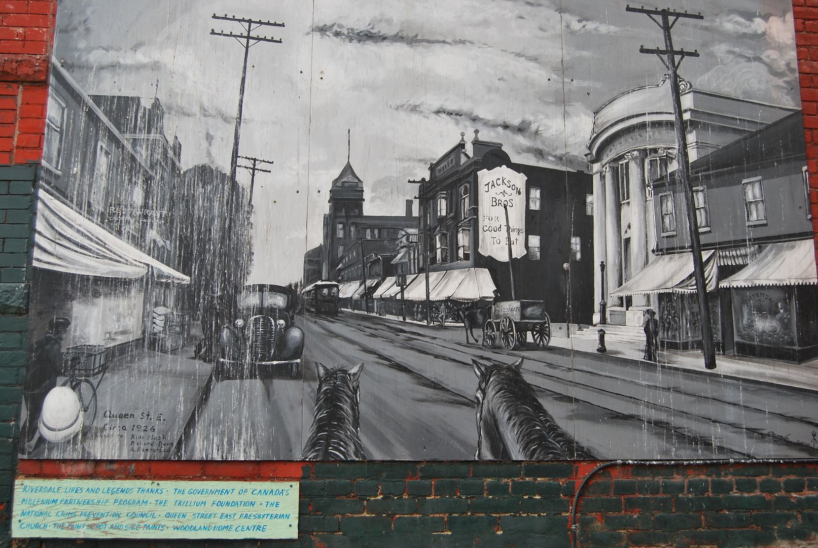
2/8 Deepend - Neat 1938 pics - the 1938 Ontario plates were a colorful orange on blue - I have one in my license plate collection...
2/9 Mustapha- Parliament/Spruce SE corner - somewhat Philadelphia-like...
2/11 LP and Deepend - Jane/Finch - Is that the Ontario Housing projects I remember hearing about in these pics?
2/11 Charioteer - 9th pic from top with "1960" above - this has to be 1954 or before judging by license plate 42E6 - old size style - 6" by 12" plates began in Ontario in 1955...
A good group of 50s and 60s pics also are in evidence here...
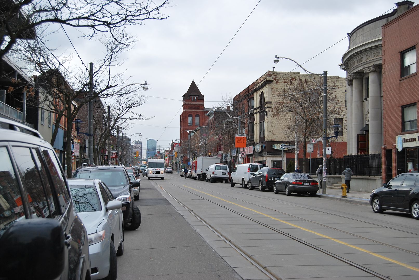
2/15 Bloor/Bathurst pic with Honest Ed's store and the Alhambra Theatre...the older pic with the Ford Fairlane 500 on the left-1960 is a good guess...
2/16 Mustapha - 5/59 pic W on Bloor towards Yonge - Ontario routes 5 and 11 King's Highway signs in pic - neat!
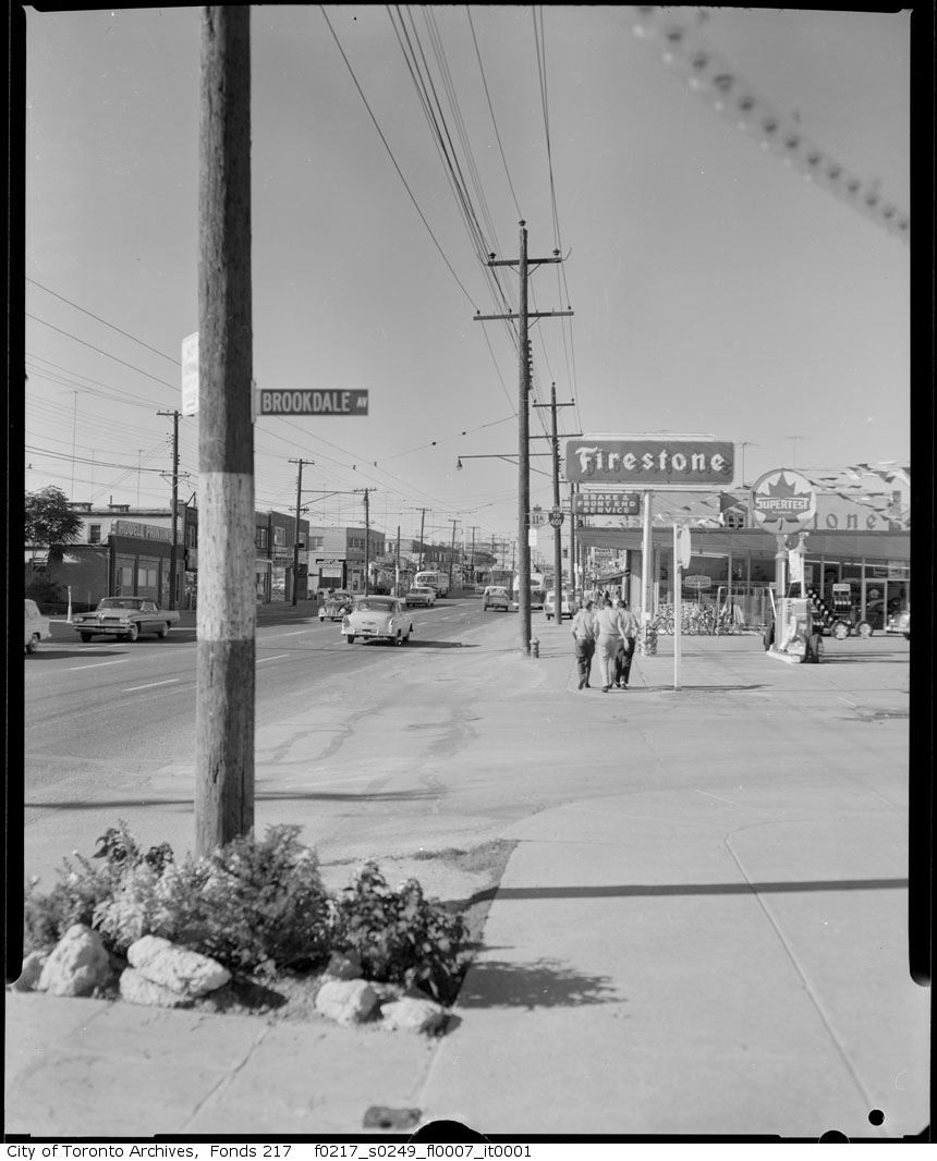
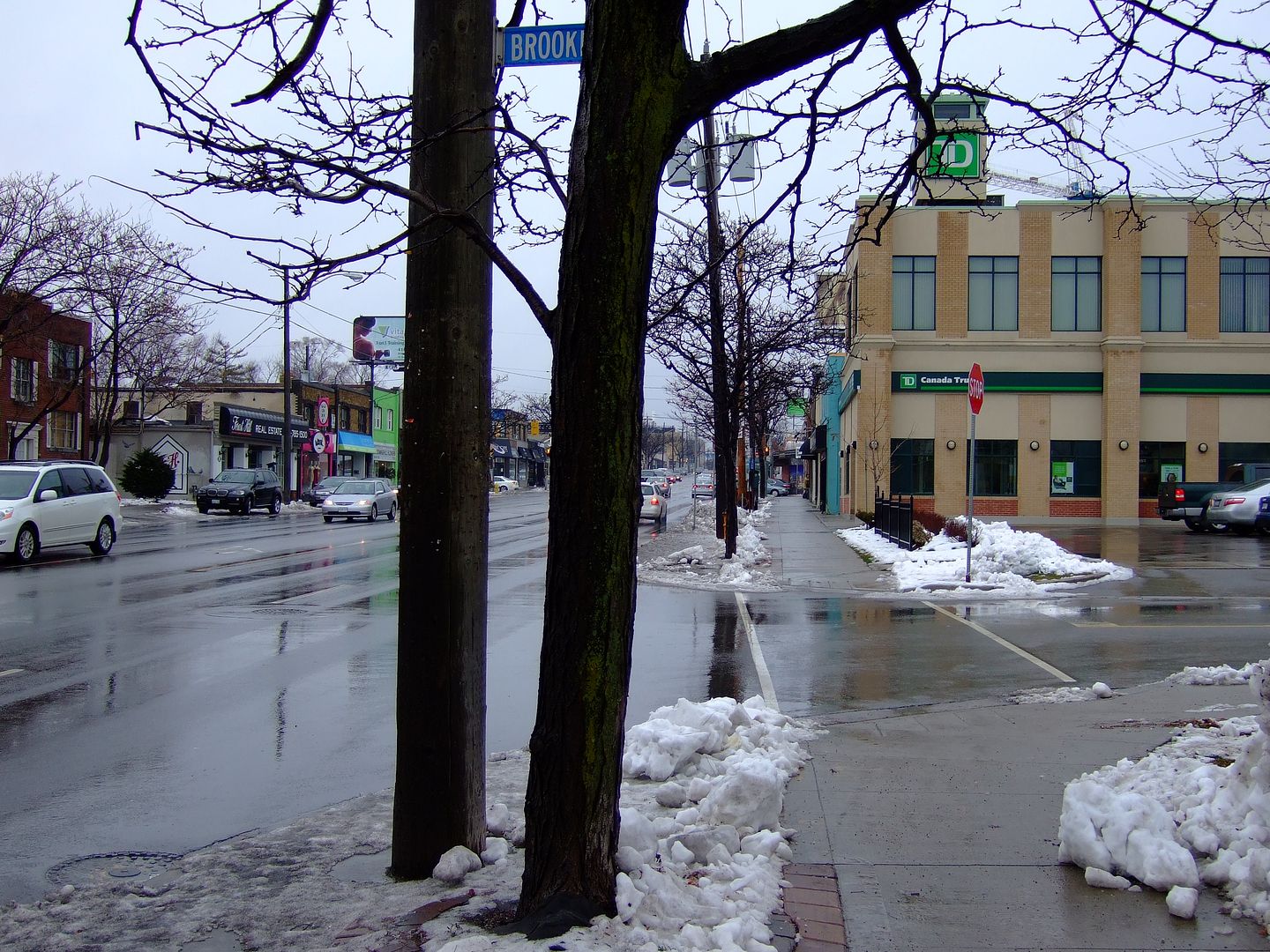
2/21 - Brookdale Avenue - early to mid 60s a good guess for the older pic - is that the very same sign in the newer pic?
The color and lettering type remind me of street signs posted in the Town Of Islip - Suffolk County,LI,NY - where I live - 70s and 80s era - literally the same...
Also note the Ontario routes 11A and 401 directional signs...
- Long Island Mike -
2/1 Mo-Tage - Gardiner looking E towards the CN Tower under construction - 1975 perhaps? Quite a difference today!
2/5 Mustapha - Yonge and Church - Quite a difference!
2/4 Anna - North York Pics - 1959 vintage plates on those cars in that third pic...
2/6 Charioteer: Nice airviews,maps and pics - all especially that 50s era stuff!
2/8 Deepend - Neat 1938 pics - the 1938 Ontario plates were a colorful orange on blue - I have one in my license plate collection...
2/9 Mustapha- Parliament/Spruce SE corner - somewhat Philadelphia-like...
2/11 LP and Deepend - Jane/Finch - Is that the Ontario Housing projects I remember hearing about in these pics?
2/11 Charioteer - 9th pic from top with "1960" above - this has to be 1954 or before judging by license plate 42E6 - old size style - 6" by 12" plates began in Ontario in 1955...
A good group of 50s and 60s pics also are in evidence here...
2/15 Bloor/Bathurst pic with Honest Ed's store and the Alhambra Theatre...the older pic with the Ford Fairlane 500 on the left-1960 is a good guess...
2/16 Mustapha - 5/59 pic W on Bloor towards Yonge - Ontario routes 5 and 11 King's Highway signs in pic - neat!
2/21 - Brookdale Avenue - early to mid 60s a good guess for the older pic - is that the very same sign in the newer pic?
The color and lettering type remind me of street signs posted in the Town Of Islip - Suffolk County,LI,NY - where I live - 70s and 80s era - literally the same...
Also note the Ontario routes 11A and 401 directional signs...
- Long Island Mike -
")