


Anna
Active Member
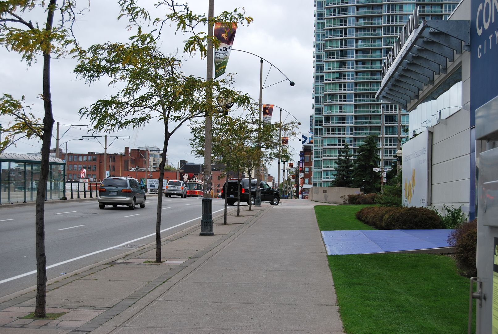
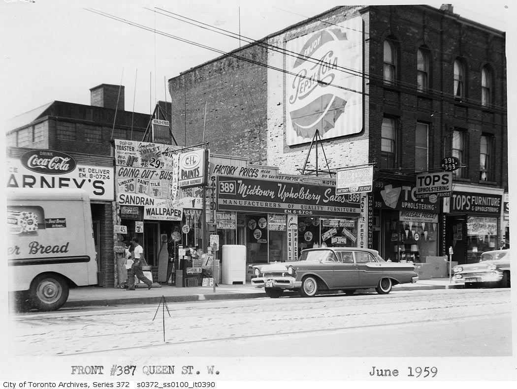
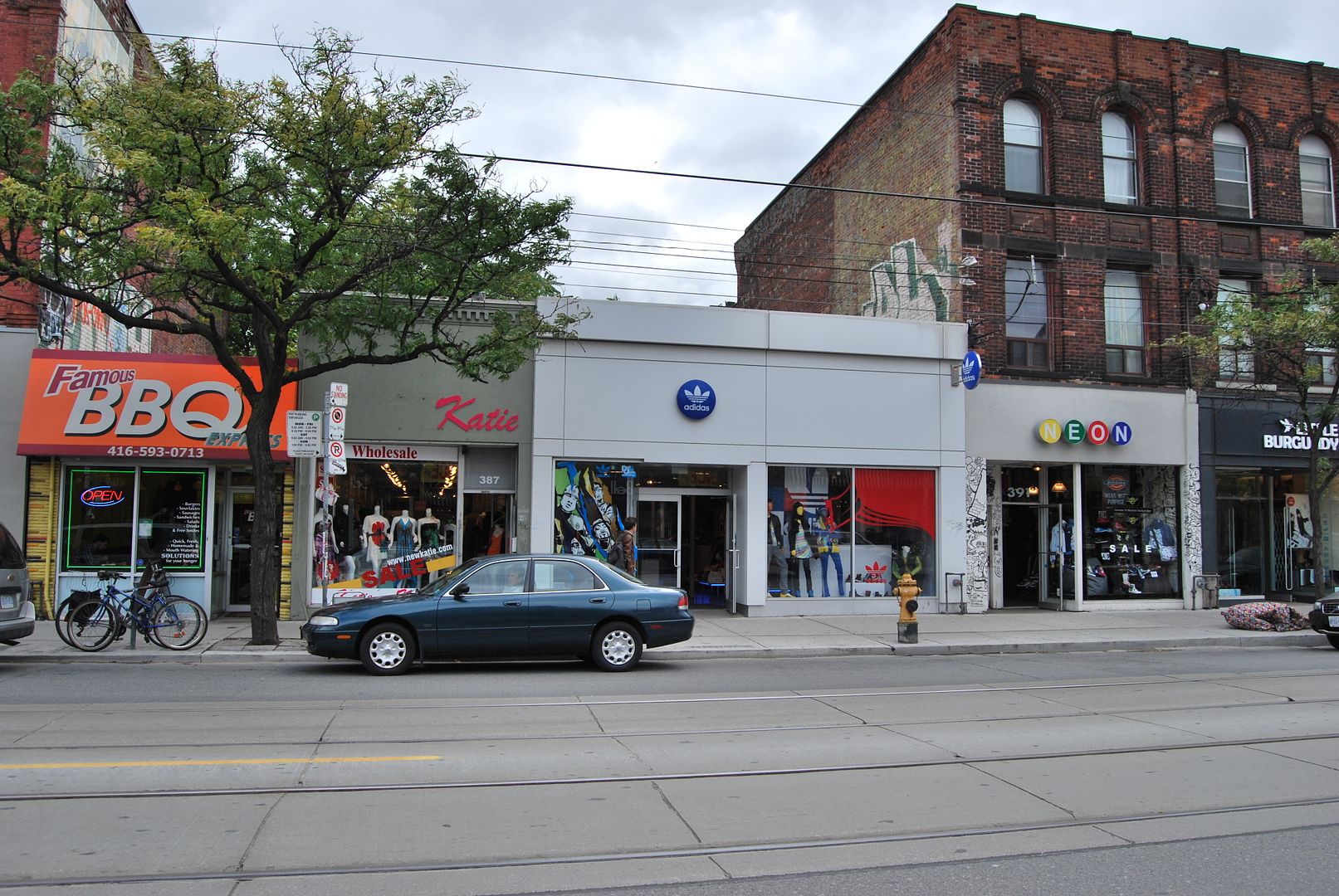
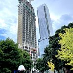
Another example of "infill" on Sherbourne, further south:
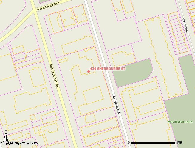
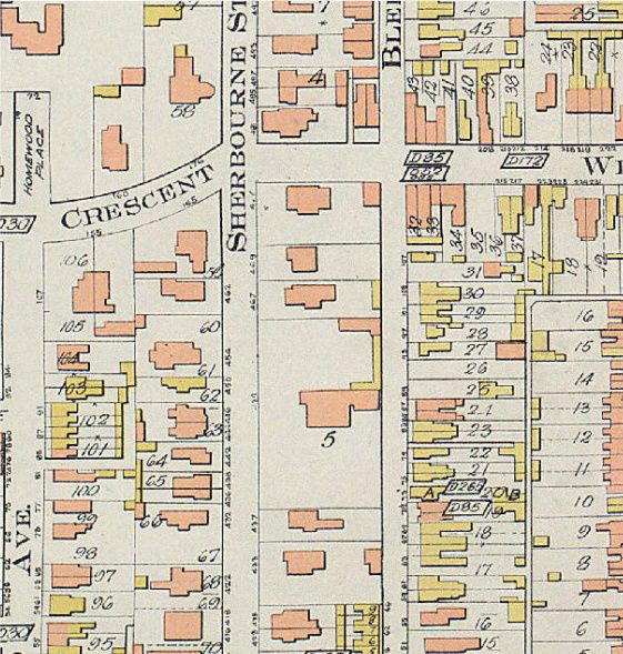
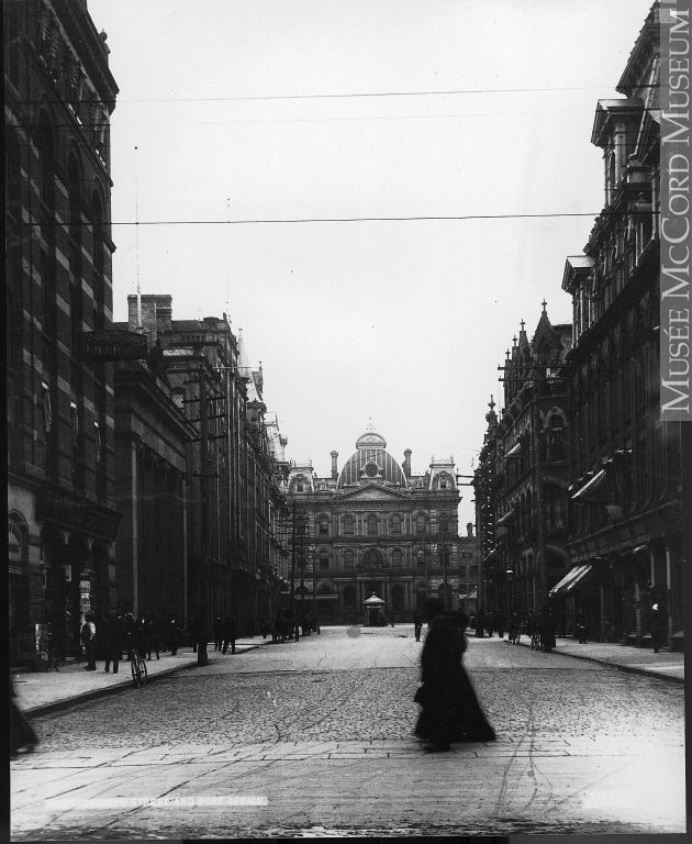
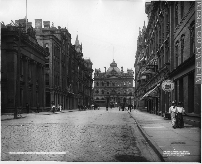
439 Sherbourne (centre of 1910 map with a number "5" underneath):
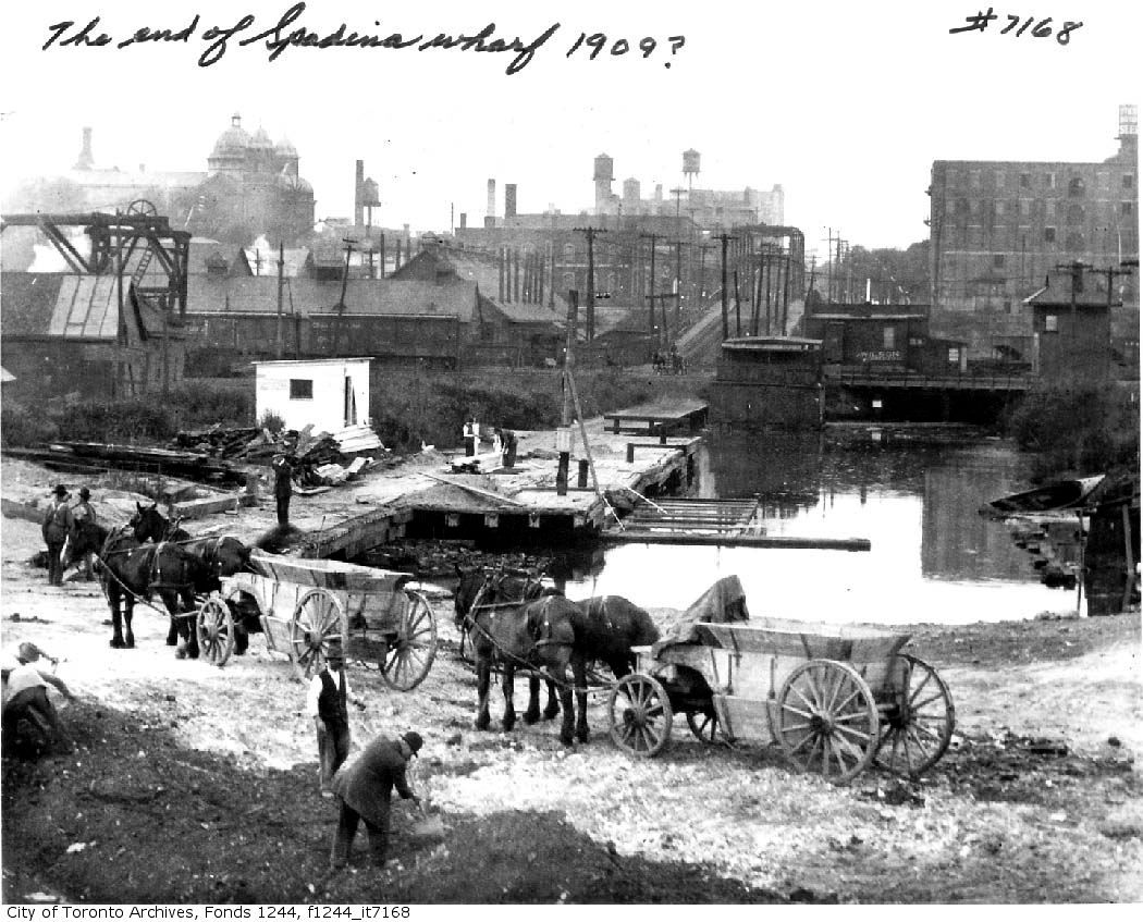
That picture refers to Fudger House, which was named after H.H. Fudger, an executive with Simpsons. "Mr. Fudger had set up a foundation and purchased a large mansion on Sherbourne St. in Toronto. Sherbourne House Club was to be a home away from home for those young women, mostly from rural areas, whose work helped to advance the fortunes of the Company."
http://www.hbc.com/hbcheritage/history/people/builders/fudger.asp
That building was torn down and a long-term care facility built, which is just north of those two apartment buildings.
http://www.toronto.ca/ltc/fudger.htm
")