News   Jul 17, 2024
 189     0 
News   Jul 17, 2024
 817     1 
News   Jul 17, 2024
 543     0 

Miscellany Toronto Photographs: Then and Now

Anna mentioned the reason earlier.

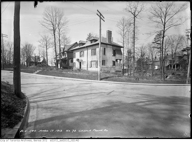
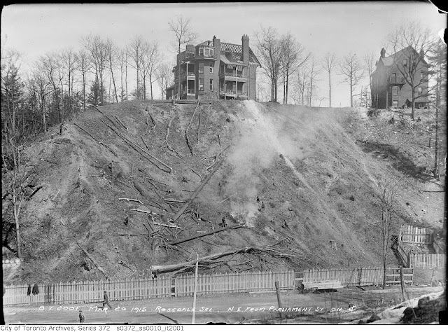
The Rosedale valley portion of viaduct was also built with room for the subway underneath, but the curve was too sharp for the trains so they had to build the separate bridge, with no view.
 
TTC Viaduct - Castle Frank vicinity...

Deepend and everyone: Good pics of the viaduct constructed for the Bloor-Danforth line back in the late 60s. I recall from the TTC info I remember getting the walls were constructed in that manner as a sound barrier.

Note the "slots" on the top-recent pics show that they have been covered over-does anyone know when that was done?

I now notice the bottom deck of that nearby Bloor Street/Danforth Avenue bridge-perhaps the curvature would have to have been too sharp for the long subway cars that the TTC uses.

Speaking of subway provisions: The Prince Edward Viaduct was the best example of foresight perhaps-it worked out good for the TTC when the B-D line was built. Imagine how much a TTC-only bridge there would have cost...

LI MIKE
 
I've also wondered whether the "diagonalizing" of Danforth/Parliament provided for it to meet up with future Haussmann/Burnham-like diagonal arterials--which, perhaps, might have accomodated a subway? (And avoided some of the sharp-curve element.)
 
Docks Stop

I believe it meant that transit vehicles from here
would take passengers to the ferry docks. If memory
serves me correctly, some streetcars went along Front
Street while others went south to the ferry docks.
 
Correct me if I'm wrong, but wasn't that part of Lakeshore called Fleet Street at the time of your before photo?

Correct, the name change happened around 1960 or so, but I can't find a source to confirm this.


That's really cool. Hypnotic even.


While the discussions around Sherbourne/Parliament/Castle Frank become even more feverish, I will just drop another daily picture, if you all don't mind. :)


October 16 addition.


Then: Queen Street West. #s 502 - 508. April 1958.

ser372_ss0100_s0372_ss0100_it0388.jpg


Now. September 2009.

DSCF1199.jpg
 
Mustapha said:
While the discussions around Sherbourne/Parliament/Castle Frank become even more feverish, I will just drop another daily picture, if you all don't mind. :)

Ummm, yeah, sorry about that. I guess I started something. :eek:
 
Then: Queen Street West. #s 502 - 508. April 1958.

ser372_ss0100_s0372_ss0100_it0388.jpg


Now. September 2009.

DSCF1199.jpg
[/QUOTE]

i remember that "fine european food" place, it lasted until the late 1980's...

anyway, its nice to see these humble Victorians have been left alone! one of them even had its fifties aluminum coverup removed. excellent!

i miss all that vitrolite and moderne detailing tho...

and the world would be a better place without shitty signs that say "TATTOOS PIERCING". yuck.
 
That's what I used to think, but after looking at the 1910 Goad's Atlas - I'm not so sure. It looks like Castle Frank Crescent was always a separate street - but now lots 29-31 face onto Bloor.

Since this happens to be my neck of the woods, I couldn't help myself :) and did a little research in the Archives. The area was extensively photographed in advance of the construction of the viaduct. Goad indeed does show Castle Frank Crescent in 1910 but the photos are all labelled "Road" and they do show a more-or-less continuously built street.

This is the view as you come up the off ramp from the DVP headed to Bloor-Danforth. That magnificent house (49 McKenzie) is still there. To the left is the path (mentioned earlier in this thread) that leads down to Rosedale Valley. Note the houses on the north side of what was once Castle Frank Rd.
Corner%20Castle%20Frank%20and%20McKenzie.jpg


Here we are a little to the south. The entrance to Castle Frank station currently sits on the site of the white house.
75%20Castle%20Frank%20Rd.jpg


A different angle.
75%20Castle%20Frank.jpg


This is 75 Castle Frank in 1918. You can see in the distance that the bridge across Rosedale Valley has been completed and some houses on Castle Frank are being demolished to accommodate what will now be Bloor East.
s0372_ss0010_it2204.jpg


This a view of Castle Frank from Parliament from Rosedale Valley.
Castle%20Frank%20from%20Parliament.jpg


Thanks for indulging me.

fascinating--this is also my neck of the woods--maybe start a separate thread?
 
Correct, the name change happened around 1960 or so, but I can't find a source to confirm this.


That's really cool. Hypnotic even.


While the discussions around Sherbourne/Parliament/Castle Frank become even more feverish, I will just drop another daily picture, if you all don't mind. :)


October 16 addition.


Then: Queen Street West. #s 502 - 508. April 1958.

[QUTE]

Thanks Mustapha! Just yesterday, I was perusing Google Street View at that very spot, and thought, "I hope Mustapha does a few of my old 'hood" and here we have it. You have some special powers. What am I thinking right now?

(Ahem, tried to take out the photos to spare the page some heaviness and wound up screwing everything up where each new letter deletes another in the word "QUOTE" which has now become "QUTE". Smooth, Aaron, very smooth)
 
Last edited:
anyway, its nice to see these humble Victorians have been left alone! one of them even had its fifties aluminum coverup removed. excellent!

Yeah, that Rubinoff's frontage lasted until at least the early 70s--it was mind-blowing to see it in a c1972 photo at a Market Gallery exhibition on Queen Street a couple of years ago. And it's mind-blowing to think that it left what lay beneath basically alone...

and the world would be a better place without shitty signs that say "TATTOOS PIERCING". yuck.

How about "TATTOOS PIERCING" as part of the Rubinoff's frontage?
 
I imagine this stretch of Queen will be in for some major and much needed gentrification in the next few years with the RioCan/Tribute Loblaws site, post fire Duke's, Big Bop re-do, etc. As these sites develop they will be of great interest to national and international retail who could not make sense of old 20' wide storefronts.

Tatoos Piercings may want to start looking to relocate given this stretch of Queen is going to become mainstream very fast.
 

Back
Top