wyliepoon
Senior Member
Fantasy Pan Am Village DRL station design
The 1985 plan for the Downtown Relief Line (DRL) showed the route as passing by what is now known the West Don Lands, with a station called Ataratiri (also spelled Atiratiri?). The West Don Lands is now selected as the athletes' village for the 2015 Pan American (Pan Am) Games. What if we resurrect the Ataratiri proposal as a station to serve the corridor of venues from the Pan Am Village to Exhibition Place along the Central Waterfront?
My design calls for an at-grade subway station just south of the rail corridor leading into the city from the east. After following Eastern Avenue westward from Pape Avenue, the DRL will emerge from the ground as it approaches the Kingston Sub. Here I see the line crossing the Don Valley Parkway and the Don River on a landmark transit-only (or a transit-and-bikes-only) bridge as it approaches the station, which provides a breathtaking view of the downtown skyline currently enjoyed by GO Train passengers and drivers on the Don Valley Parkway and the Gardiner Expressway. I will not elaborate on what happens to the line west of the station as its alignment is currently being debated. (I am not an expert on the proposed alignments. For my design I have the DRL returning into a tunnel as it approaches Cherry Street.)
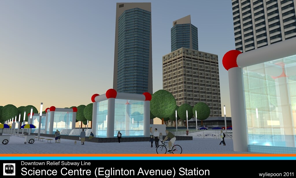
The station is enclosed in a glass box with a roof that slopes up towards the west end of the station to emphasize the view towards downtown. Platform level is at grade, while the mezzanine is built over the middle section of the platform, within the glass box. Two footbridges branch out from the mezzanine - one north towards West Don Lands and the Pan Am Village, the other south towards Lower Don Lands Park, Lakeshore Boulevard and within walking distance of East Bayfront. In keeping with the TTC's plan of "greening" its subway stations, Pan Am Village has a green roof.
Google Earth views...


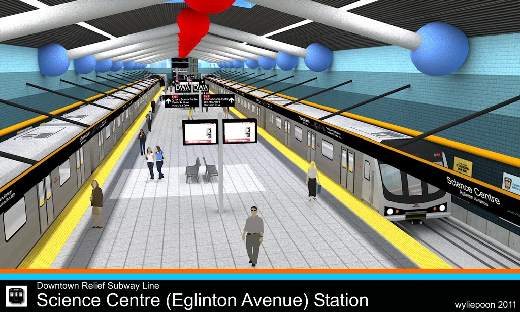
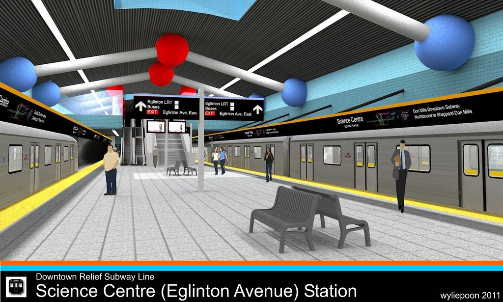
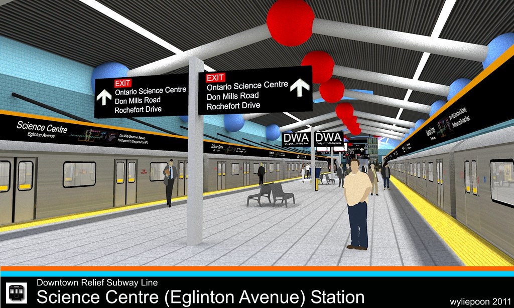
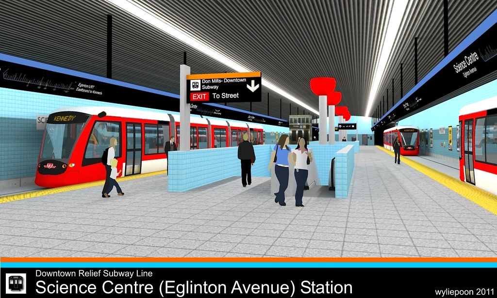
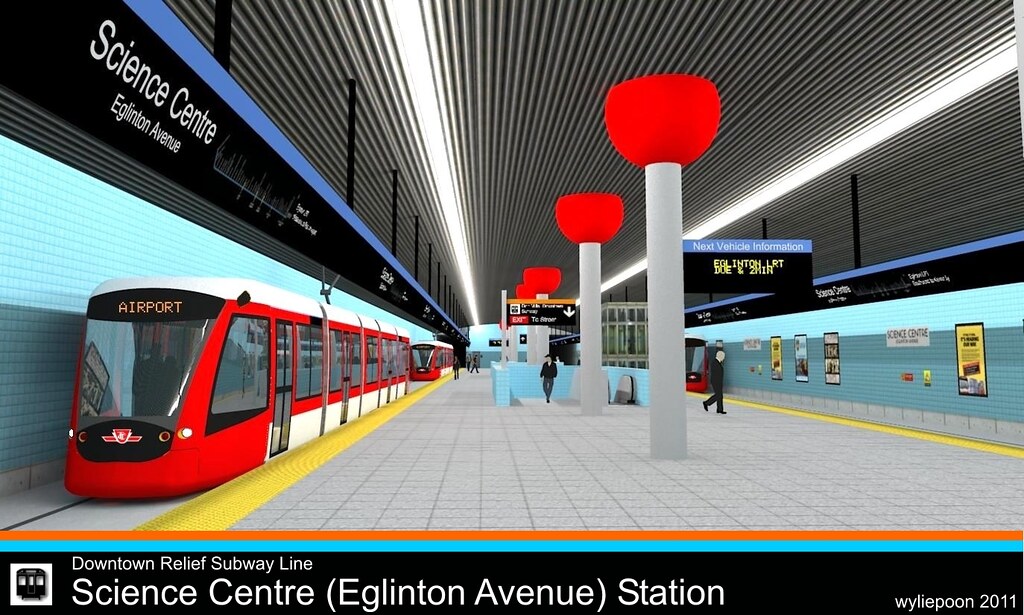
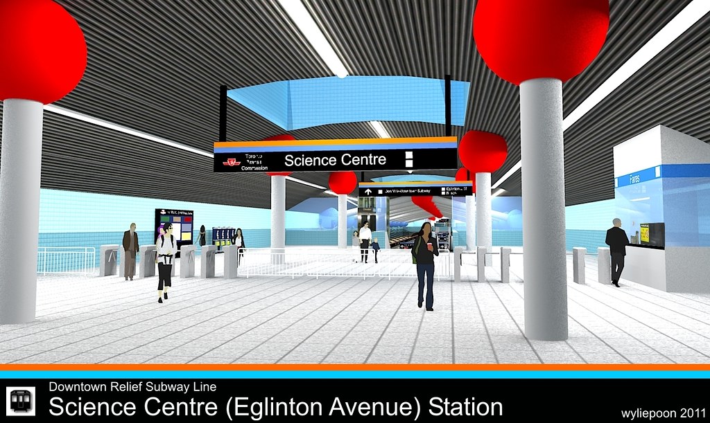
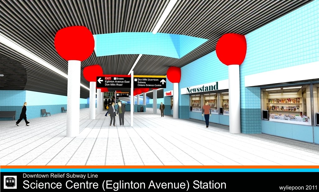
Interior renderings (you might notice that I've used my earlier Gerrard station design as a template)


The 1985 plan for the Downtown Relief Line (DRL) showed the route as passing by what is now known the West Don Lands, with a station called Ataratiri (also spelled Atiratiri?). The West Don Lands is now selected as the athletes' village for the 2015 Pan American (Pan Am) Games. What if we resurrect the Ataratiri proposal as a station to serve the corridor of venues from the Pan Am Village to Exhibition Place along the Central Waterfront?
My design calls for an at-grade subway station just south of the rail corridor leading into the city from the east. After following Eastern Avenue westward from Pape Avenue, the DRL will emerge from the ground as it approaches the Kingston Sub. Here I see the line crossing the Don Valley Parkway and the Don River on a landmark transit-only (or a transit-and-bikes-only) bridge as it approaches the station, which provides a breathtaking view of the downtown skyline currently enjoyed by GO Train passengers and drivers on the Don Valley Parkway and the Gardiner Expressway. I will not elaborate on what happens to the line west of the station as its alignment is currently being debated. (I am not an expert on the proposed alignments. For my design I have the DRL returning into a tunnel as it approaches Cherry Street.)
The station is enclosed in a glass box with a roof that slopes up towards the west end of the station to emphasize the view towards downtown. Platform level is at grade, while the mezzanine is built over the middle section of the platform, within the glass box. Two footbridges branch out from the mezzanine - one north towards West Don Lands and the Pan Am Village, the other south towards Lower Don Lands Park, Lakeshore Boulevard and within walking distance of East Bayfront. In keeping with the TTC's plan of "greening" its subway stations, Pan Am Village has a green roof.
Google Earth views...


Interior renderings (you might notice that I've used my earlier Gerrard station design as a template)


Last edited:


