News   Dec 22, 2025
 943     0 
News   Dec 22, 2025
 269     0 
News   Dec 22, 2025
 715     0 

Does the GTA have our own version of 'Route 66'?

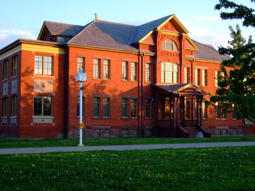
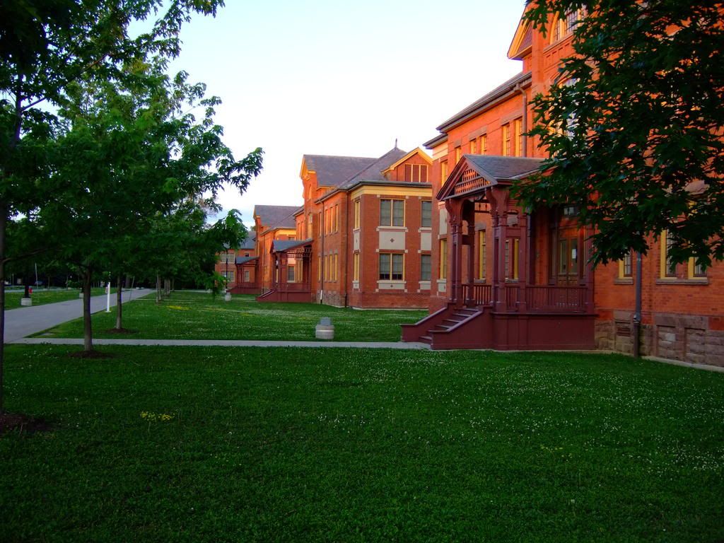
Taffy, depending on how far out you get on that highway, if you find yourself in Burlington and headed for Hamilton, peel off of Plains Rd W at Spring Gardens Rd where the Royal Botanical Gardens Centre is. You will find an old still-family-run Hot Dog stand called Easterbrooks on the left hand side that's a rather amusing local favourite. Continue along Spring Gardens Rd to the west and you will find yourself descending to lake level to cross the mouth of the Grindstone Creek and the original outlet of Cootes Paradise. The one lane bridge there is the original connecting link between Hamilton and Toronto. A plaque west of the bridge notes the former location of an inn at the crossroads here - the original road to Guelph also used to meet at this spot.

Happy Exploring!

42

42
I'm not quite understanding how the original outlet to Cootes Paradise was near Grindstone Creek unless it once wrapped itself around north side of the Rock Gardens. I'm trying to remember what it was like before the 403 was built - I grew up around there near the crossroads of the Old Guelph Road (from Hamilton to Guelph) and the Old York Road (from Dundas to Toronto). I guess the development of the railways must have involved a lot of landfill and I'm not quite old enough to remember that far back. While the bridge you mentioned (which one can view on YouTube) is on the east side of the sandstone ridge, the Old Guelph road is on the western side of the ridge and I am having difficulty making them meet in my mind even if I remove the railway embankment which cut off the Mud Hole as we called it from the rest of Burlington Bay.

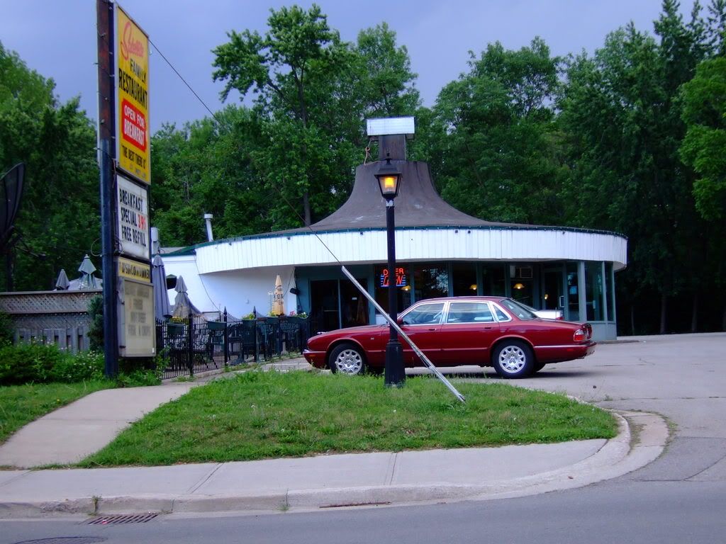
By the way, on the west side of Plains Road past the RGB headquarters and just before you cross the bridge is a drive-in restaurant which was the first KFC franchise in Canada in the very early 50's. Across the bridge was Wolfe's Island which was not an island in the traditional sense of a body of land surrounded by water but rather a stately Romanesque Esso station sitting in a triangle of land where Highways 2 and 6 met. Overlooking the whole scene was the Neilson sign, a local landmark featuring a giant neon chocolate bar which sadly was lost to the 403.
 
42
I'm not quite understanding how the original outlet to Cootes Paradise was near Grindstone Creek unless it once wrapped itself around north side of the Rock Gardens.


Perhaps that truly was the case? If so, we're dealing with a situation dating back to the c19, when Desjardins Canal was blasted through to Dundas...
 
Yes, the railways used extensive landfill to remodel the spit of land for their purposes. After the Desjardins Canal was blasted through there was no need for the original outlet of Cootes Paradise to be bridged, so a rail causeway was landfilled and it now entirely obscures the original watercourse.

42
 
That would have been one dramatic and beautiful entrance to Cootes Paradise! Thanks for clearing up a mystery which I wasn't aware even existed.

I guess that means that it is quite plausible that Wolfe's Island originally really was an island in the traditional sense, albeit, a very tall and tiny one.
 
A true "Route 66" experience, for that matter, would be a Windsor-to-Quebec jaunt along the length of old Hwy 2...

Actually, there was a Highway 2 running all the way to Halifax, which has since lost its numbers/continuity. Leave it to Canada to destroy a well-defined interprovincial highway designation.
 
Join me on a little road trip. The old HWY 2 from Clarkson to New Toronto.

Starting point: Lakeshore and Erin Mills. Neat old 'drive-in' restaurant - The Satellite. I think this has been in a couple of movies??

DSCF0534.jpg


Old motel.

DSCF048.jpg


Downtown Clarkson.

DSCF0482.jpg

DSCF0483.jpg


Then long road to Port Credit.

DSCF0484.jpg

DSCF0485.jpg

DSCF0486.jpg


Downtown Port Credit.

DSCF0487.jpg

DSCF0489.jpg

DSCF0490.jpg

DSCF0491.jpg


Almost feels like Miami here. Almost. There is a bad water odour in this area.

DSCF0492.jpg


Neat old building. May have been a bank?

DSCF0493.jpg


Just north of the main drag - this was one very busy Mexican takeout; must be well known to the locals.

DSCF0494.jpg


A street just north of the downtown; a 'Moore Park' vibe.

DSCF0495.jpg


The old St. Lawrence Starch company building front door and surrounding new homes and condos.

DSCF0500.jpg

DSCF0496.jpg

DSCF0497.jpg

DSCF0498.jpg

DSCF0503.jpg

DSCF0505.jpg

DSCF0506.jpg


Old freighter sunk as harbour breakwater. Spooky looking. Looks to be about 100 years old (I'm a nautical buff).

DSCF0504.jpg


The long road to Long Branch.

DSCF0507.jpg

DSCF0508.jpg

DSCF0509.jpg

DSCF0510.jpg

DSCF0511.jpg

DSCF0512.jpg

DSCF0513.jpg

DSCF0514.jpg

DSCF0515.jpg

DSCF0516.jpg


Holy Mother Russia. or Poland, or whatever.

DSCF0517.jpg


Humber College.

DSCF0518.jpg


Something interesting on our right. Turn here for a look. It's the old Lakeshore hospital grounds. Very atmospheric here.

DSCF0519.jpg

DSCF0521.jpg

DSCF0524.jpg

DSCF0527.jpg

DSCF0525.jpg

DSCF0526.jpg


Let's go to New Toronto then.

DSCF0529.jpg


The site of the long gone Goodyear plant. Quite a lot of housing here. This is just the corner.

DSCF0530.jpg


Still a bit of industry left in the area. The make 'industrial films' here.

DSCF0531.jpg


Lets's take a jog north here to Birmingham street just for the heck of it.

DSCF0532.jpg


Cool. Wonder what this was? Well, it's getting dark boys and girls and I'm packing the camera away for today.

DSCF0533.jpg
 
That "very busy Mexican take out" place is called Burrito Boys. It is north of Lakeshore on Stavebank Rd in Port Credit. If you want to try a great tasting Burrito, check it out!

Or if you live downtown, there are two locations although I'm not sure where.

Also, next to the Satellite restaurant in Clarkson, there is a sweet Thai place called the Spoon and Fork.
 
The downtown Burrito Boys are the culinary heart of Clubland--wow, so the Port Credit one *is* doing well.

That last photo: the old New Toronto Hydro station...
 
Nice tour, thanks.

Highway 2 could easily be a kind of Route 66 parallel.
 
My answer to this thread would be a 'no', Canada does not have an equivalent to a 'Route 66'. What makes Route 66 what it is is its mythology. Seems to me that this is what would be lacking in any of the Canadian roads proposed. Without the collective mythology of the place a hamburger stand is just a hamburger stand...

I do remember the Satellite though. The Palace rolling rink was next door. Back in the 70s a day at the roller rink followed by burgers at the Satelite was how we spent our Saturday afternoons.
 
My answer to this thread would be a 'no', Canada does not have an equivalent to a 'Route 66'. What makes Route 66 what it is is its mythology. Seems to me that this is what would be lacking in any of the Canadian roads proposed. Without the collective mythology of the place a hamburger stand is just a hamburger stand...

Closest thing, by default (and I *do* mean "by default"), would be the Trans-Canada. And when it comes to Ontario...sadly, the 401.

Something tells me that in Canada, the open road myth has tended to be associated less with road-ro-Compostela freedom and energy, than with long-slog endurance and drudgery...
 
Nice pics Mustapha. Old Hwy 2 would be the closest, but it's more of just an older main road between Toronto and Montreal. My third year field trip at Ryerson UP was along the St. Lawrence. We stuck to "hwy 2 - Kingston Rd" from Yonge and Lake Shore pretty much all the way to Cornwall (and then took Quebec Autoroute 20 to Valleyfield and then to Montreal). We stayed in Belleville and Kingston with other stops in Brockville, Cornwall and Prince Edward County. It was a very interesting trip since I had only done the trip to Montreal on the 401. There are some nice downtowns along the way like Port Hope and Cobourg. Except for our stops we didn't get off the bus so I couldn't explore. Some time in the future I'll do the drive again out to Montreal.
 
We stuck to "hwy 2 - Kingston Rd" from Yonge and Lake Shore pretty much all the way to Cornwall (and then took Quebec Autoroute 20 to Valleyfield and then to Montreal).

Actually, the stretch of Old Hwy 2 from Cornwall to Lancaster is (last time I saw) among the most picturesque and undespoiled--perhaps like it would have been W of Cornwall pre-Seaway?

From Lancaster eastward, though, it's but a north-and-then-south-side service road--though here as on Old Route 66 via Illinois, there's a nose-thumbing delight in following the "old highway" service road while boring Interstate traffic whizzes by. (Which brings us to another high concept: at least where they're pretty well continuous, driving the QEW service roads in lieu of the QEW itself. Even though, unlike 2 or 66, they were never "main routes" pre-QEW--and of course, *every* seasoned Golden Horseshoe road tripper has taken the Beach Road in lieu of the Burlington Skyway.)

Another thing about taking Old #2 into Quebec is that it really has a way of highlighting in high relief the sudden advent of "Biere Froide"...
 
Good Ontario Route 2 pics! - Reminds me of US Route#1!

Mustapha: Good Route 2 tour-I recognize places such as the Long Branch TTC loop. There are many neat older buildings on the tour-those row homes in pic #21 really interest me. Can you mention exactly where they are so I can pinpoint the location on a map? To me highways like these could be more likely Canada's version of US Route 1 - especially in the Northeastern US.
LI MIKE
 

Back
Top