TwoWheelPoli
Active Member
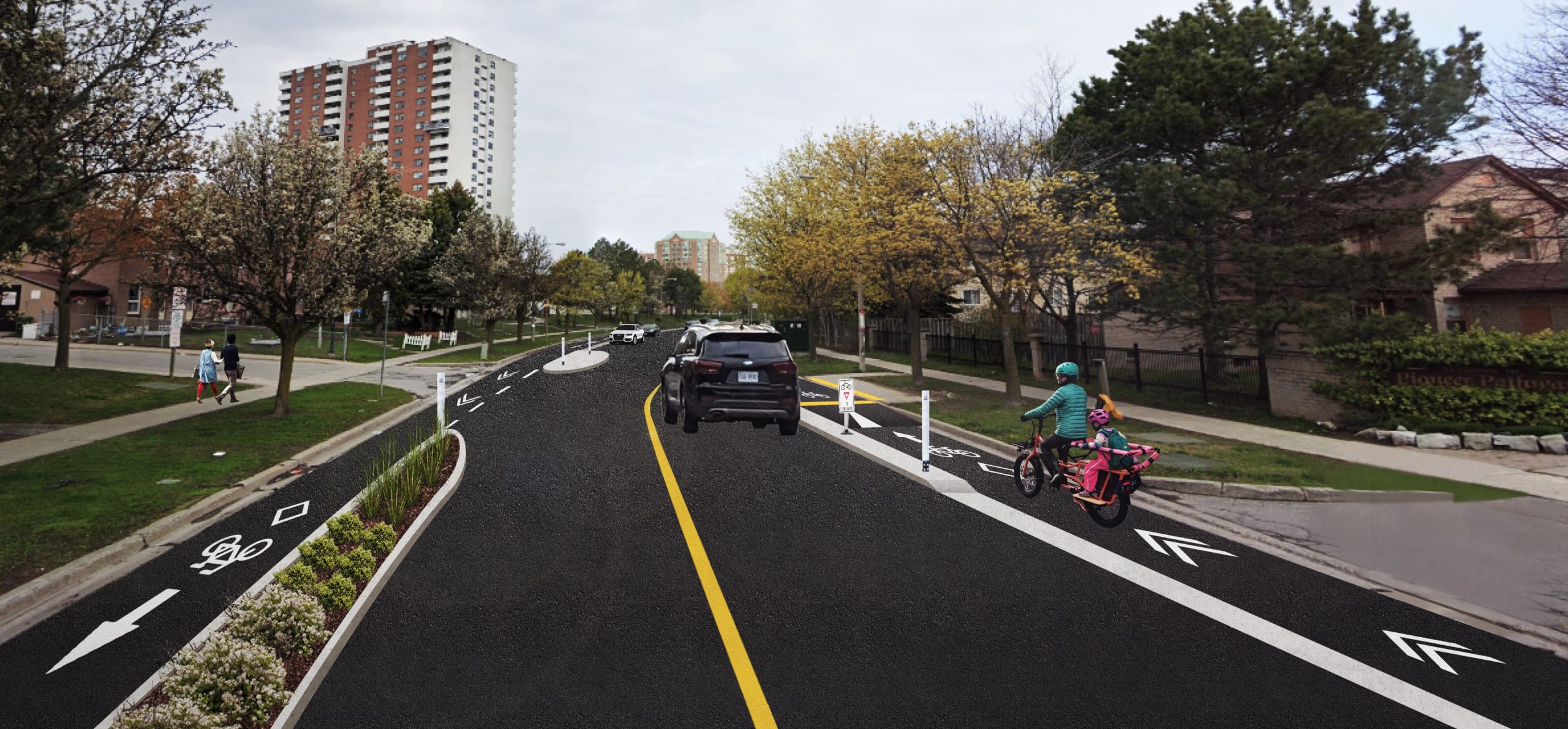
One more public consultation for cyclists in Scarborough. This time for the Malvern Neighbourhood Connections.
You can attend the public drop-in event on Tuesday, June 24 (7:00-8:30 PM) at St. Columba Catholic School (10 John Tabor Trail) or complete the survey by Tuesday, July 8.
 www.toronto.ca
You can attend the public drop-in event on Tuesday, June 24 (7:00-8:30 PM) at St. Columba Catholic School (10 John Tabor Trail) or complete the survey by Tuesday, July 8.
Malvern Neighbourhood Connections
City Council has approved the proposed changes on Crow Trail, Brenyon Way and Casebridge Court, Venture Drive and Water Tower Gate. A copy of the staff report is available at IE26.6.
www.toronto.ca
")