


micheal_can
Senior Member
As someone from North Bay, all I have to say is ... Yikes! You would be destroying a lot of prime recreational areas including the Mattawa River Provincial Park.Bypass Fantasy For North Bay and Timmins
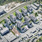
Since getting through Timmins and North Bay is a time consuming and annoying process what if there’s a bypass for both. For North Bay it connects Northern Highway 11 to Highway 17 West and East of it. For Timmins and Porcupine it passes by it avoiding the hell that is downtown Timmins.View attachment 575399View attachment 575400