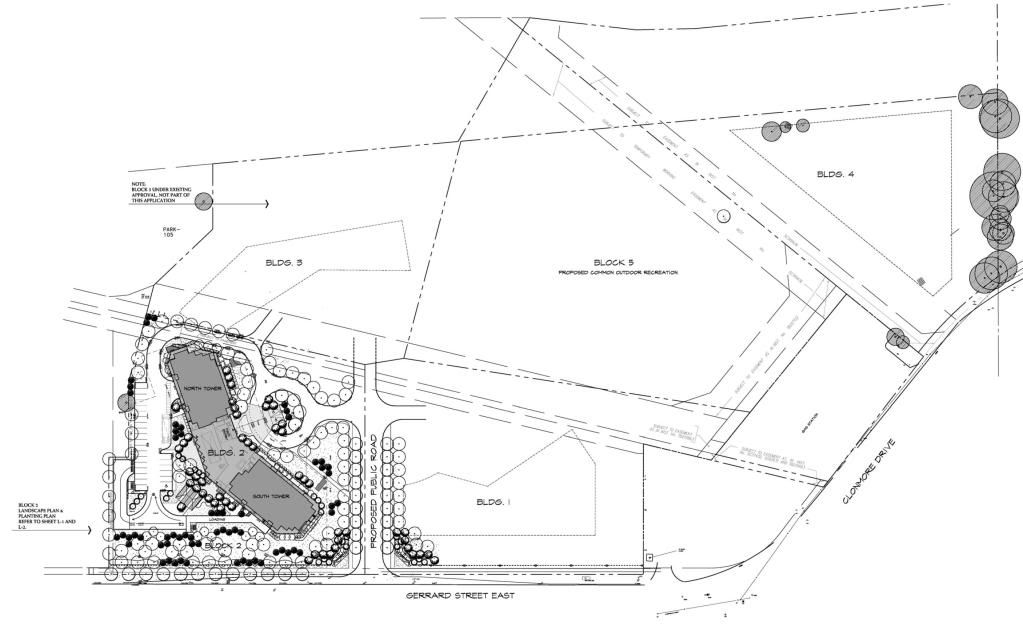
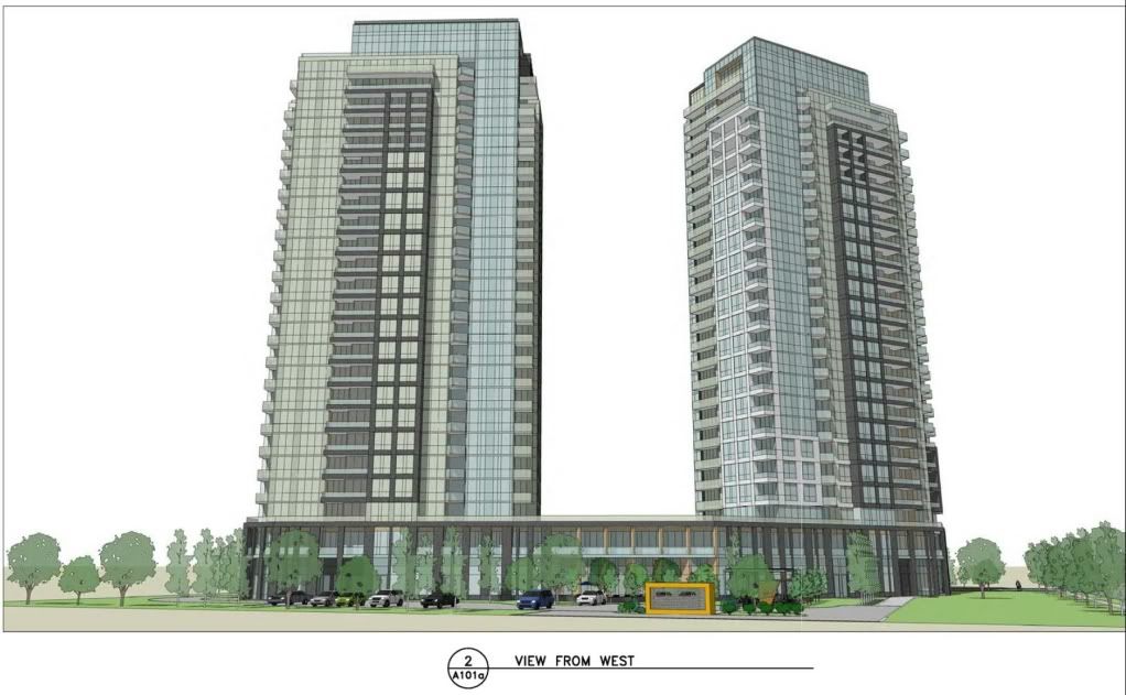
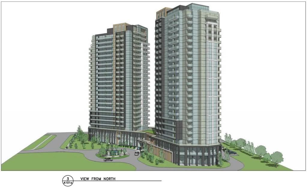
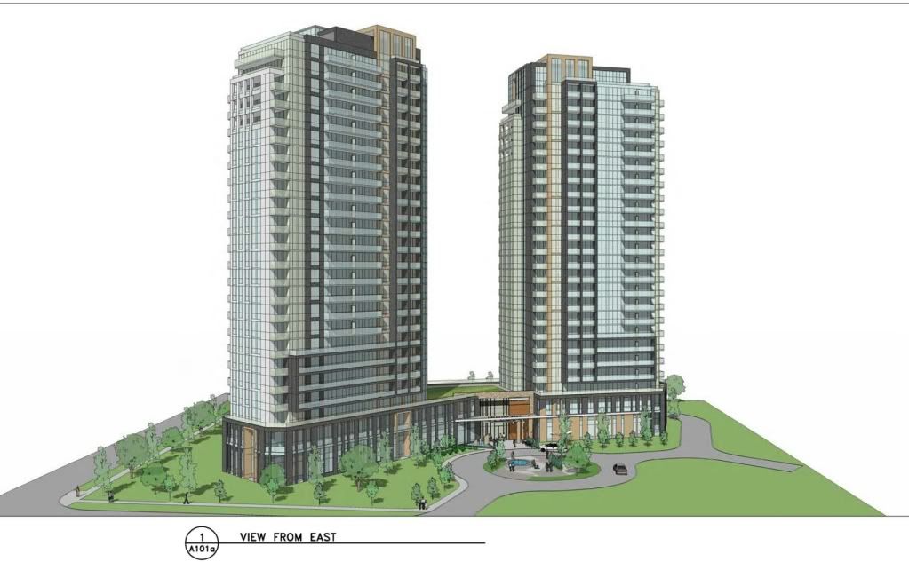
So I took a little interest in this fascinating site and spent a half hour coming up with a site plan of sorts. At the end of it I figured I may as well not let the work go to waste and decided to post it:
Street Pattern - Purposefully laid out to discourage through traffic on side streets (safe for kids to play!) while maintaining connectivity and to allow for dense grid. Setback 30m from rail corridor as per the law.
Red - High rises
Light Blue - Mid Rises, some of the smaller ones are multiplex style walk-up apartments.
Dark Blue - Townhouses, all townhouses. With growth projections and a fresh new site overseen by BuildTO, I saw no reason to compromise on low-rise density with semi-detached and detached houses.
Pink - High School and Primary School. Hopefully there is a Middle School nearby.
Green - Public Park
FreshoCo - I didn't propose a development on the Freshco, minus their parking lot. I figured that the area needs a grocery store (and I was completely oblivious to the Loblaws on Victoria Park). This parcel could be developed eventually however.
Transit - I figured the nearby Birchmount bus made no sense looping up Warden. Send the Birchmount bus down Hollis Ave, then Clonmore Dr, then finally either Gerrard St or the new middle street in the above site plan and then up Victoria Park to the Line 2 Station.
My rough density calculation:
Townhouses - Average width of 25ft and depth of 80ft. I got about 7,850ft of townhouses if I lined them up side by side, so about 314 townhouses. That is fairly high 25 unit per acre. Nearly 1/3 of them will be stacked townhouses, so we can make that number a round 400 units. Average household size is 2.8 persons, for total of 1,120 persons.
Midrises - Lets say that 10s midrise complex on a 1.5 acre plot of land is roughly 175 residential units. We got roughly 10 acres of that built form which roughs out to being 1,750 residential units, which with an average household size being 2.8 persons for a total of 4,900 persons.
Highrises - Using similar density to the midrise but accounting for higher storeys, you get 525 residential units, which with an average household size being 2.8 persons amounts to 1,470 persons.
Added up, that is 7,490 persons in 2,675 dwelling units.
Now, I decided to take a look at what is actually being proposed.
The proposed rezoning, for the blocks indicated on the proposed Draft Plan of Subdivision (Attachment 4), would permit approximately 9 100 square metres (98,000 square feet) of retail commercial use on the western portion of the site fronting Victoria Park Avenue, up to 300 dwelling units consisting of standard or 'stacked' townhouses and apartments along the new interior streets
Oops. Turns out I did not look at how the lot shape and property ownership of this land was configured.

But beyond that, this giant parcel of land in a shoulder area of downtown, and all they decide to propose here is 300 dwelling units? I put 9x that number in my half hour sketch above!
This little exercise of mine just goes to show exactly how ambitious the City of Toronto is with actually fulfilling our Provincially mandated growth targets. Not ambitious at all.


