H4F33Z
Active Member
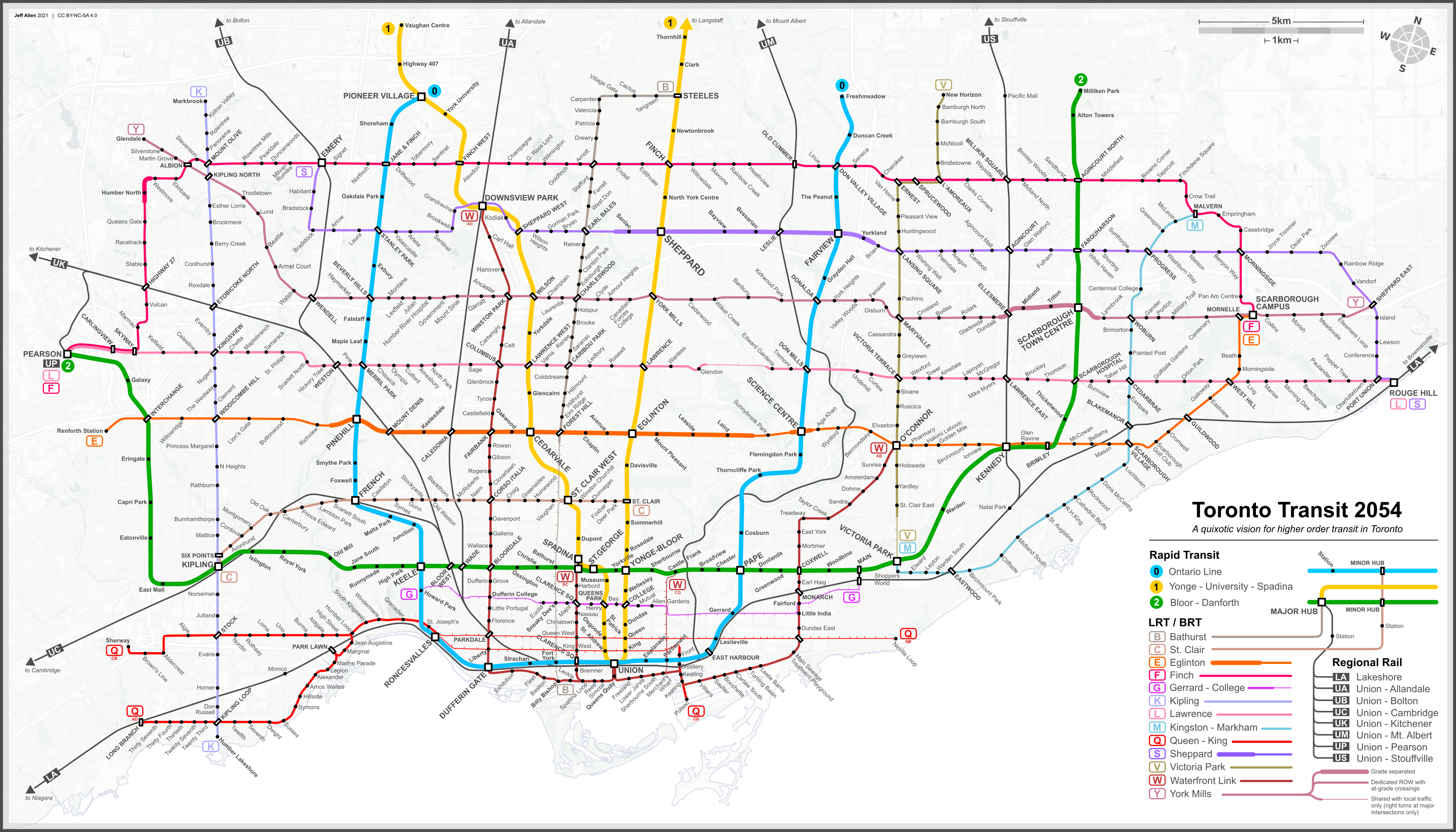
I propose the Lawrence East BRT which would run from Science Centre Station to Rouge Hill GO. Here's the context:
The 54 Lawrence East is one of the busiest, longest and major bus routes without a LRT or Subway being planned on the corridor. The Surface Network Transit Priority plan's for Lawrence East to have bus lanes in 2024. That's the easy way out for the city. Paint. The corridor has a very large ROW to handle a Complete Street Lawrence Avenue that can spur development, improve transit and make it safer for cyclists and pedestrians.
The 954 Lawrence East Express from Science Centre is planned to start running when Line 5 opens.
My stop spacing and stops for this BRT are similar to the VIVA projects and the future Scarborough-Durham BRT. Every major and minor arterial, few collector streets and key rider stops. 28 stops including 5 interchanges with other transit lines. There would still be local service just less frequent similar to VIVA. And please don't tell me this is too many stops. We are not having a Finch West LRT debate. The 54 on this corridor has 65 local stops to Rouge.
There would be red bus lanes from Science Centre to Lawrence/Don Mills. This would handle the construction impacts of the future future Ontario Line North. Speaking of, why wouldn't I start the line at the Donway? Well Science Centre is just a major hub for everything including OL, Line 5 and countless bus connections and Wynford Green. It's a better spot to connect to everything.
East of Don Mills the BRT would run in the median, there would only be turns at signals and U-turns allowed. Nothing new here but a few traffic signals would be added to not only handle turning traffic midblock but also allow people to cross the street more. The centre turn lane would be removed and 2 car lanes per direction would be maintained. New in-boulevard cycle tracks would run along the entire length and multi-use trails would be installed at bike trail connections. The sidewalk would be widened to 2.3m the entire length.
East of Morningside, because of space constraints, it could be two lanes tightly but I decided there would be one car lane per direction. This encourages regional traffic flow through to Kingston Rd. and reinforces Lawrence east of Morningside as a local route and reduces reliance on motor vehicles. It also allows space for cycle tracks and widened sidewalks along the entire length. Lawrence Ave is a key corridor for cycling potential. (It helps that the councillors in this section is accepting of cycling infrastructure and lane reductions)
The project can also easily be converted to LRT in the long-term. It'll be great, and is something that can easily be obtained. It would also be a super-affordable option.
(The greater network)
")